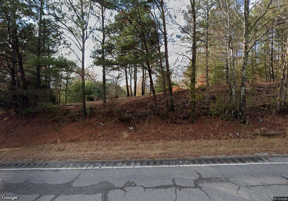
4495 Highway 43 Spruce Pine, AL 35585
Estimated Value: $194,000 - $248,000
4
Beds
--
Bath
2,490
Sq Ft
$89/Sq Ft
Est. Value
About This Home
This home is located at 4495 Highway 43, Spruce Pine, AL 35585 and is currently estimated at $221,000, approximately $88 per square foot. 4495 Highway 43 is a home located in Franklin County.
Ownership History
Date
Name
Owned For
Owner Type
Purchase Details
Closed on
Nov 20, 2017
Sold by
Frederick Jason and Frederick Amanda
Bought by
Ergle James Kelly and Ergle Julie Boyett
Current Estimated Value
Home Financials for this Owner
Home Financials are based on the most recent Mortgage that was taken out on this home.
Original Mortgage
$165,938
Outstanding Balance
$139,158
Interest Rate
3.88%
Mortgage Type
FHA
Estimated Equity
$81,842
Purchase Details
Closed on
Oct 30, 2015
Sold by
Miller Gary H and Miller Frederick
Bought by
Frederick Jason and Frederick Amanda
Home Financials for this Owner
Home Financials are based on the most recent Mortgage that was taken out on this home.
Original Mortgage
$125,190
Interest Rate
4.4%
Mortgage Type
FHA
Create a Home Valuation Report for This Property
The Home Valuation Report is an in-depth analysis detailing your home's value as well as a comparison with similar homes in the area
Home Values in the Area
Average Home Value in this Area
Purchase History
| Date | Buyer | Sale Price | Title Company |
|---|---|---|---|
| Ergle James Kelly | -- | -- | |
| Frederick Jason | $127,500 | -- |
Source: Public Records
Mortgage History
| Date | Status | Borrower | Loan Amount |
|---|---|---|---|
| Open | Ergle James Kelly | $165,938 | |
| Previous Owner | Frederick Jason | $125,190 |
Source: Public Records
Tax History Compared to Growth
Tax History
| Year | Tax Paid | Tax Assessment Tax Assessment Total Assessment is a certain percentage of the fair market value that is determined by local assessors to be the total taxable value of land and additions on the property. | Land | Improvement |
|---|---|---|---|---|
| 2024 | $547 | $17,220 | $3,040 | $14,180 |
| 2023 | $547 | $16,380 | $2,880 | $13,500 |
| 2022 | $470 | $14,900 | $2,600 | $12,300 |
| 2021 | $417 | $13,300 | $2,200 | $11,100 |
| 2020 | $417 | $13,300 | $2,200 | $11,100 |
| 2019 | $417 | $13,310 | $2,230 | $11,080 |
| 2018 | $447 | $14,200 | $2,200 | $12,000 |
| 2017 | $385 | $12,500 | $2,100 | $10,400 |
| 2016 | $757 | $22,900 | $2,100 | $20,800 |
| 2015 | $757 | $22,900 | $2,100 | $20,800 |
| 2014 | $757 | $22,900 | $2,100 | $20,800 |
| 2013 | $800 | $24,200 | $3,800 | $20,400 |
Source: Public Records
Map
Nearby Homes
- 1172 Co Rd 59
- 1062 Nix Rd
- 362 Sandusky Rd Unit lot 4
- 0 Fuller Rd
- 0 County Road 20
- 321 Hwy 126
- 00 Pike Ave
- 0 Highway 63
- 2206 Highway 63
- 321 Highway 126
- 1406 Pike Ave
- 1440 Pike Ave
- 4025 County Road 172
- 2065 Alabama 237
- 364 Mc Clung Ave
- 3203 Edgar Chapel Rd
- 00 Kent St
- 0 Mayhall Dr
- 364 Steele St
- 0 Hyde Rd Unit LotWP001 23713578
