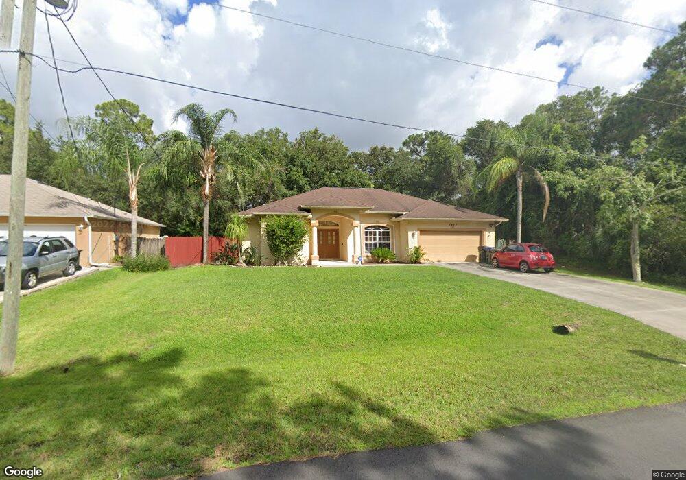
4498 Clarke St North Port, FL 34286
Estimated Value: $324,000 - $374,000
3
Beds
2
Baths
1,730
Sq Ft
$205/Sq Ft
Est. Value
About This Home
This home is located at 4498 Clarke St, North Port, FL 34286 and is currently estimated at $354,573, approximately $204 per square foot. 4498 Clarke St is a home located in Sarasota County with nearby schools including North Port High School, Lamarque Elementary School, and Woodland Middle School.
Ownership History
Date
Name
Owned For
Owner Type
Purchase Details
Closed on
Jun 20, 2003
Sold by
Windemere Homes Inc
Bought by
Tindell Carol M and Tindell Samuel M
Current Estimated Value
Home Financials for this Owner
Home Financials are based on the most recent Mortgage that was taken out on this home.
Original Mortgage
$162,894
Outstanding Balance
$68,865
Interest Rate
5.3%
Mortgage Type
VA
Estimated Equity
$285,708
Purchase Details
Closed on
Dec 19, 2000
Sold by
Clerk Circuit Court
Bought by
Scrutiny Inc
Create a Home Valuation Report for This Property
The Home Valuation Report is an in-depth analysis detailing your home's value as well as a comparison with similar homes in the area
Home Values in the Area
Average Home Value in this Area
Purchase History
| Date | Buyer | Sale Price | Title Company |
|---|---|---|---|
| Tindell Carol M | $159,700 | -- | |
| Scrutiny Inc | $1,000 | -- |
Source: Public Records
Mortgage History
| Date | Status | Borrower | Loan Amount |
|---|---|---|---|
| Open | Tindell Carol M | $162,894 |
Source: Public Records
Tax History Compared to Growth
Tax History
| Year | Tax Paid | Tax Assessment Tax Assessment Total Assessment is a certain percentage of the fair market value that is determined by local assessors to be the total taxable value of land and additions on the property. | Land | Improvement |
|---|---|---|---|---|
| 2024 | $2,693 | $123,709 | -- | -- |
| 2023 | $2,693 | $120,106 | $0 | $0 |
| 2022 | $1,972 | $116,608 | $0 | $0 |
| 2021 | $1,901 | $113,212 | $0 | $0 |
| 2020 | $1,870 | $111,649 | $0 | $0 |
| 2019 | $1,810 | $109,139 | $0 | $0 |
| 2018 | $1,671 | $107,104 | $0 | $0 |
| 2017 | $1,634 | $104,901 | $0 | $0 |
| 2016 | $1,625 | $157,400 | $4,800 | $152,600 |
| 2015 | $1,641 | $133,700 | $4,300 | $129,400 |
| 2014 | $1,617 | $99,723 | $0 | $0 |
Source: Public Records
Map
Nearby Homes
- 4610 Clarke St
- 2969 Wells Ave
- 0 Lummus St Unit 2025005676
- 0 Lummus St Unit MFRC7497102
- 0 Lummus St Unit 225049848
- 2967 Barry Rd
- 2931 Barry Rd
- 3276 Chipley Ave
- 8 Lummus St
- 4343 Carver St
- 0958-11-4215 Natural St
- 0 Tahiti St Unit MFRC7515012
- Lot 17 Welland Terrace
- 13 & 14 Lutz Rd
- 0 Moncrief Ave Unit MFRC7514999
- 1135 Moncrief Blk 50 Ave
- 0 Moncrief Ave Unit MFRC7502334
- 4134 Bruing St
- 2718 Chipley Ave
- 0 Maximo Rd Unit MFRC7505206
- 4526 Clarke St
- 4554 Clarke St
- 4442 Clarke St
- 4582 Clarke St
- 4445 N Cranberry Blvd
- 4414 Clarke St
- 0 N Cranberry Blvd Chipley Ave Unit A4502882
- 2986 Woodward Ave
- Clarke St
- Clarke St
- 4609 N Cranberry Blvd
- 3124 Chipley Ave
- 0 Lummus St Unit MFRC7495941
- 0 Lummus St Unit MFRA4593367
- 0 Lummus St Unit MFRA4593365
- 0 Lummus St Unit MFRC7479843
- 0 Lummus St Unit Lot 17 MFRC7454764
- 0 Lummus St Unit C7472763
- 0 Lummus St Unit C7472757
- 0 Lummus St Unit C7470000