45-785 Apuakea St Kaneohe, HI 96744
Estimated Value: $1,028,032 - $1,140,000
3
Beds
2
Baths
1,219
Sq Ft
$886/Sq Ft
Est. Value
About This Home
This home is located at 45-785 Apuakea St, Kaneohe, HI 96744 and is currently estimated at $1,080,258, approximately $886 per square foot. 45-785 Apuakea St is a home located in Honolulu County with nearby schools including Kaneohe Elementary School, Governor Samuel Wilder King Intermediate School, and Castle High School.
Ownership History
Date
Name
Owned For
Owner Type
Purchase Details
Closed on
Mar 23, 1994
Sold by
Fong Richard Mun Yew and Cottle Fong Catherine Louise
Bought by
Fong Richard Mun Yew and Cottle Fong Catherine Louise
Current Estimated Value
Home Financials for this Owner
Home Financials are based on the most recent Mortgage that was taken out on this home.
Original Mortgage
$189,000
Interest Rate
7.15%
Create a Home Valuation Report for This Property
The Home Valuation Report is an in-depth analysis detailing your home's value as well as a comparison with similar homes in the area
Home Values in the Area
Average Home Value in this Area
Purchase History
| Date | Buyer | Sale Price | Title Company |
|---|---|---|---|
| Fong Richard Mun Yew | -- | -- |
Source: Public Records
Mortgage History
| Date | Status | Borrower | Loan Amount |
|---|---|---|---|
| Closed | Fong Richard Mun Yew | $189,000 |
Source: Public Records
Tax History Compared to Growth
Tax History
| Year | Tax Paid | Tax Assessment Tax Assessment Total Assessment is a certain percentage of the fair market value that is determined by local assessors to be the total taxable value of land and additions on the property. | Land | Improvement |
|---|---|---|---|---|
| 2025 | $2,661 | $1,089,300 | $754,400 | $334,900 |
| 2024 | $2,661 | $920,200 | $705,800 | $214,400 |
| 2023 | $2,544 | $966,900 | $705,800 | $261,100 |
| 2022 | $2,467 | $844,900 | $620,800 | $224,100 |
| 2021 | $2,265 | $787,100 | $574,100 | $213,000 |
| 2020 | $2,094 | $738,200 | $559,100 | $179,100 |
| 2019 | $2,322 | $783,300 | $541,800 | $241,500 |
| 2018 | $2,214 | $752,500 | $560,100 | $192,400 |
| 2017 | $2,114 | $723,900 | $466,800 | $257,100 |
| 2016 | $2,086 | $716,100 | $466,800 | $249,300 |
| 2015 | $1,840 | $645,600 | $443,400 | $202,200 |
| 2014 | -- | $617,400 | $396,800 | $220,600 |
Source: Public Records
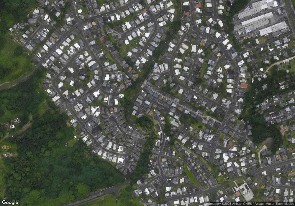
Map
Nearby Homes
- 45-535 Luluku Rd Unit J5
- 45-535 Luluku Rd Unit K2
- 45-535 Luluku Rd Unit K4
- 45-535 Luluku Rd Unit A53
- 45-535 Luluku Rd Unit A23
- 45-535 Luluku Rd Unit G2
- 45-519 Kamehameha Hwy
- 45-513 Duncan Dr
- 45-625 Halekou Rd
- 45-433 Akimala St
- 45-523 Halekou Rd Unit B
- 45-714 Keneke St
- 45-816 Kupohu St
- 45-409 Mokulele Dr Unit 22
- 45-731 Puupele St
- 45-532 Kapalai Rd
- 45-407 Mokulele Dr Unit 60
- 45-456 Ihilani St
- 1 Kamehameha Hwy
- 45-659 Kapunahala Rd
- 45-781 Apuakea St
- 45-801 Apuakea St
- 45-798 Apuakea St
- 45-775 Apuakea St
- 45-805 Apuakea St
- 45-761 Apuakea St
- 45-788 Apuakea St
- 45-782 Apuakea St
- 45-806 Apuakea St
- 45-776 Apuakea St
- 45-538 Malio Place
- 45-757 Apuakea St
- 45-790 Apuakea St
- 45-534 Malio Place
- 45-542 Malio Place
- 45-772 Apuakea St
- 45-813 Apuakea St
- 45-764 Apuakea St
- 45-812 Apuakea St
- 45-755 Apuakea St