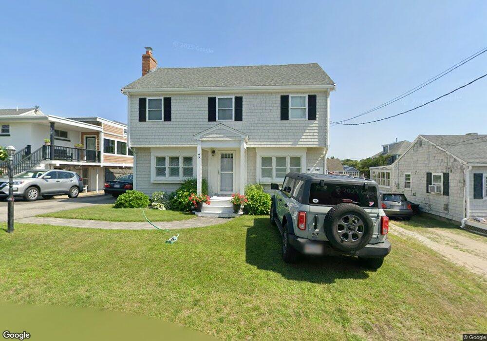
45 Abbey St Unit 45 Marshfield, MA 02050
Ocean Bluff-Brant Rock NeighborhoodEstimated Value: $867,725 - $915,000
2
Beds
2
Baths
1,424
Sq Ft
$626/Sq Ft
Est. Value
About This Home
This home is located at 45 Abbey St Unit 45, Marshfield, MA 02050 and is currently estimated at $891,363, approximately $625 per square foot. 45 Abbey St Unit 45 is a home located in Plymouth County with nearby schools including Daniel Webster, Furnace Brook Middle School, and Marshfield High School.
Ownership History
Date
Name
Owned For
Owner Type
Purchase Details
Closed on
May 25, 2022
Sold by
Curtis Anne E
Bought by
45 Abbey St Rt and Curtis
Current Estimated Value
Purchase Details
Closed on
Jun 30, 2006
Sold by
Ryan Paul J and Whelan Deirdre A
Bought by
Curtis Anne E
Purchase Details
Closed on
Mar 30, 1998
Sold by
Brennan Edmund F and Brennan Mary K
Bought by
Ryan Paul J and Whelan Deirdre A
Home Financials for this Owner
Home Financials are based on the most recent Mortgage that was taken out on this home.
Original Mortgage
$138,000
Interest Rate
6.96%
Mortgage Type
Purchase Money Mortgage
Create a Home Valuation Report for This Property
The Home Valuation Report is an in-depth analysis detailing your home's value as well as a comparison with similar homes in the area
Home Values in the Area
Average Home Value in this Area
Purchase History
| Date | Buyer | Sale Price | Title Company |
|---|---|---|---|
| 45 Abbey St Rt | -- | None Available | |
| Curtis Anne E | $537,500 | -- | |
| Curtis Anne E | $537,500 | -- | |
| Ryan Paul J | $172,500 | -- |
Source: Public Records
Mortgage History
| Date | Status | Borrower | Loan Amount |
|---|---|---|---|
| Previous Owner | Ryan Paul J | $138,000 | |
| Previous Owner | Ryan Paul J | $71,000 |
Source: Public Records
Tax History Compared to Growth
Tax History
| Year | Tax Paid | Tax Assessment Tax Assessment Total Assessment is a certain percentage of the fair market value that is determined by local assessors to be the total taxable value of land and additions on the property. | Land | Improvement |
|---|---|---|---|---|
| 2025 | $7,042 | $711,300 | $317,600 | $393,700 |
| 2024 | $6,740 | $648,700 | $297,800 | $350,900 |
| 2023 | $6,322 | $572,400 | $268,000 | $304,400 |
| 2022 | $6,322 | $488,200 | $228,300 | $259,900 |
| 2021 | $5,976 | $453,100 | $218,400 | $234,700 |
| 2020 | $5,557 | $416,900 | $188,600 | $228,300 |
| 2019 | $5,410 | $404,300 | $188,600 | $215,700 |
| 2018 | $5,286 | $395,400 | $188,600 | $206,800 |
| 2017 | $5,013 | $365,400 | $178,700 | $186,700 |
| 2016 | $4,758 | $342,800 | $168,700 | $174,100 |
| 2015 | $4,500 | $338,600 | $168,700 | $169,900 |
| 2014 | $4,390 | $330,300 | $168,700 | $161,600 |
Source: Public Records
Map
Nearby Homes