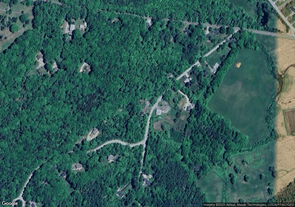
45 Annis Rd Camden, ME 04843
Estimated Value: $408,616 - $528,000
1
Bed
1
Bath
1,200
Sq Ft
$384/Sq Ft
Est. Value
About This Home
This home is located at 45 Annis Rd, Camden, ME 04843 and is currently estimated at $461,154, approximately $384 per square foot. 45 Annis Rd is a home located in Knox County with nearby schools including Camden-Rockport Elementary School, Camden-Rockport Middle School, and Camden Hills Regional High School.
Ownership History
Date
Name
Owned For
Owner Type
Purchase Details
Closed on
Jul 19, 2019
Sold by
French James F and Pine Cathy M
Bought by
Anderson Holly S
Current Estimated Value
Home Financials for this Owner
Home Financials are based on the most recent Mortgage that was taken out on this home.
Original Mortgage
$164,000
Outstanding Balance
$143,679
Interest Rate
3.82%
Mortgage Type
New Conventional
Estimated Equity
$317,475
Create a Home Valuation Report for This Property
The Home Valuation Report is an in-depth analysis detailing your home's value as well as a comparison with similar homes in the area
Home Values in the Area
Average Home Value in this Area
Purchase History
| Date | Buyer | Sale Price | Title Company |
|---|---|---|---|
| Anderson Holly S | -- | -- |
Source: Public Records
Mortgage History
| Date | Status | Borrower | Loan Amount |
|---|---|---|---|
| Open | Anderson Holly S | $164,000 |
Source: Public Records
Tax History Compared to Growth
Tax History
| Year | Tax Paid | Tax Assessment Tax Assessment Total Assessment is a certain percentage of the fair market value that is determined by local assessors to be the total taxable value of land and additions on the property. | Land | Improvement |
|---|---|---|---|---|
| 2024 | $4,138 | $394,100 | $162,200 | $231,900 |
| 2023 | $3,544 | $256,800 | $67,200 | $189,600 |
| 2022 | $3,390 | $256,800 | $67,200 | $189,600 |
| 2021 | $3,463 | $225,600 | $72,000 | $153,600 |
| 2020 | $3,391 | $225,600 | $72,000 | $153,600 |
| 2019 | $3,364 | $225,600 | $72,000 | $153,600 |
| 2018 | $2,961 | $199,000 | $68,100 | $130,900 |
| 2017 | $2,862 | $199,000 | $68,100 | $130,900 |
| 2016 | $2,624 | $168,300 | $59,900 | $108,400 |
| 2015 | $2,546 | $168,300 | $59,900 | $108,400 |
| 2014 | $2,429 | $168,300 | $59,900 | $108,400 |
| 2013 | $2,363 | $168,300 | $59,900 | $108,400 |
Source: Public Records
Map
Nearby Homes