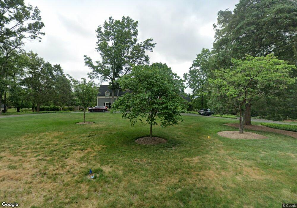
45 Audubon Ln Princeton, NJ 08540
Estimated Value: $1,850,000 - $2,183,000
6
Beds
4
Baths
4,144
Sq Ft
$475/Sq Ft
Est. Value
About This Home
This home is located at 45 Audubon Ln, Princeton, NJ 08540 and is currently estimated at $1,968,559, approximately $475 per square foot. 45 Audubon Ln is a home located in Mercer County with nearby schools including Johnson Park School, Princeton Middle School, and Princeton High School.
Ownership History
Date
Name
Owned For
Owner Type
Purchase Details
Closed on
Nov 19, 2009
Sold by
Bylin Arthur M and Bylin Zoe D
Bought by
Woodbury Thomas B and Woodbury Melissa J
Current Estimated Value
Home Financials for this Owner
Home Financials are based on the most recent Mortgage that was taken out on this home.
Original Mortgage
$975,000
Outstanding Balance
$644,725
Interest Rate
5.25%
Mortgage Type
New Conventional
Estimated Equity
$1,323,834
Create a Home Valuation Report for This Property
The Home Valuation Report is an in-depth analysis detailing your home's value as well as a comparison with similar homes in the area
Home Values in the Area
Average Home Value in this Area
Purchase History
| Date | Buyer | Sale Price | Title Company |
|---|---|---|---|
| Woodbury Thomas B | $1,325,000 | Empire Title & Abstract Agen |
Source: Public Records
Mortgage History
| Date | Status | Borrower | Loan Amount |
|---|---|---|---|
| Open | Woodbury Thomas B | $975,000 |
Source: Public Records
Tax History Compared to Growth
Tax History
| Year | Tax Paid | Tax Assessment Tax Assessment Total Assessment is a certain percentage of the fair market value that is determined by local assessors to be the total taxable value of land and additions on the property. | Land | Improvement |
|---|---|---|---|---|
| 2025 | $29,618 | $1,133,900 | $589,000 | $544,900 |
| 2024 | $27,961 | $1,112,200 | $589,000 | $523,200 |
| 2023 | $27,961 | $1,112,200 | $589,000 | $523,200 |
| 2022 | $27,049 | $1,112,200 | $589,000 | $523,200 |
| 2021 | $27,127 | $1,112,200 | $589,000 | $523,200 |
| 2020 | $26,915 | $1,112,200 | $589,000 | $523,200 |
| 2019 | $28,101 | $1,184,700 | $677,000 | $507,700 |
| 2018 | $27,627 | $1,184,700 | $677,000 | $507,700 |
| 2017 | $26,848 | $1,167,300 | $677,000 | $490,300 |
| 2016 | $26,428 | $1,167,300 | $677,000 | $490,300 |
| 2015 | $25,617 | $1,158,100 | $677,000 | $481,100 |
| 2014 | $25,304 | $1,158,100 | $677,000 | $481,100 |
Source: Public Records
Map
Nearby Homes