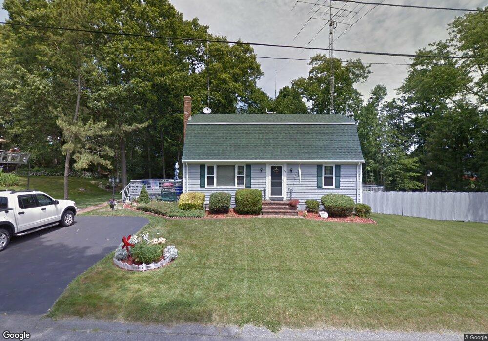
45 Beth Rd Tiverton, RI 02878
North Tiverton NeighborhoodEstimated Value: $474,000 - $717,000
3
Beds
2
Baths
2,226
Sq Ft
$256/Sq Ft
Est. Value
About This Home
This home is located at 45 Beth Rd, Tiverton, RI 02878 and is currently estimated at $570,643, approximately $256 per square foot. 45 Beth Rd is a home located in Newport County with nearby schools including Tiverton High School, Argosy Collegiate Charter School, and Holy Trinity School.
Ownership History
Date
Name
Owned For
Owner Type
Purchase Details
Closed on
Aug 24, 2001
Sold by
Heywood Kenneth N and Heywood Sandra
Bought by
Neal David A and Neal Sharon
Current Estimated Value
Home Financials for this Owner
Home Financials are based on the most recent Mortgage that was taken out on this home.
Original Mortgage
$178,000
Interest Rate
7.21%
Purchase Details
Closed on
Jun 28, 1996
Sold by
Urban Henry P and Urban Lillian
Bought by
Heywood Kenneth N and Heywood Sandra
Create a Home Valuation Report for This Property
The Home Valuation Report is an in-depth analysis detailing your home's value as well as a comparison with similar homes in the area
Home Values in the Area
Average Home Value in this Area
Purchase History
| Date | Buyer | Sale Price | Title Company |
|---|---|---|---|
| Neal David A | $188,000 | -- | |
| Heywood Kenneth N | $126,000 | -- |
Source: Public Records
Mortgage History
| Date | Status | Borrower | Loan Amount |
|---|---|---|---|
| Open | Heywood Kenneth N | $169,000 | |
| Closed | Heywood Kenneth N | $64,000 | |
| Closed | Heywood Kenneth N | $188,000 | |
| Closed | Heywood Kenneth N | $178,000 |
Source: Public Records
Tax History Compared to Growth
Tax History
| Year | Tax Paid | Tax Assessment Tax Assessment Total Assessment is a certain percentage of the fair market value that is determined by local assessors to be the total taxable value of land and additions on the property. | Land | Improvement |
|---|---|---|---|---|
| 2025 | $4,334 | $392,200 | $113,500 | $278,700 |
| 2024 | $4,334 | $392,200 | $113,500 | $278,700 |
| 2023 | $4,056 | $272,200 | $104,800 | $167,400 |
| 2022 | $3,982 | $272,200 | $104,800 | $167,400 |
| 2021 | $3,884 | $272,200 | $104,800 | $167,400 |
| 2020 | $3,473 | $214,500 | $77,600 | $136,900 |
| 2019 | $3,387 | $214,500 | $77,600 | $136,900 |
| 2018 | $3,516 | $214,500 | $77,600 | $136,900 |
| 2017 | $3,665 | $192,400 | $75,100 | $117,300 |
| 2016 | $3,683 | $192,400 | $75,100 | $117,300 |
| 2015 | $3,683 | $192,400 | $75,100 | $117,300 |
| 2014 | $4,067 | $210,700 | $72,100 | $138,600 |
Source: Public Records
Map
Nearby Homes
- 102 Hayden Ave
- 48 Hambly Rd
- 35 Hambly Rd
- 730 Main Rd
- 100 Harbor Ridge Ln
- 81 Kenyon Rd
- 88 Kenyon Rd
- 75 Randolph Ave
- 64 Kenyon Rd
- 92 Brackett Ave
- 92 Bracket Ave
- 896 Main Rd
- 898 Main Rd
- 15 Rocky Ave
- 345 Main Rd Unit 204
- 0 Kaufman Rd Unit 73333701
- 0 Kaufman Rd Unit 1384670
- 12 Horizon Dr
- 153 Fish Rd Unit 4
- 235 Kearns Ave
- 33 Beth Rd Unit 1
- 46 Beth Rd
- 34 Beth Rd
- 57 Beth Rd
- 22 Beth Rd
- 69 Beth Rd
- 21 Sterling Dr Unit 1
- 21 Sterling Dr Unit 3
- 21 Sterling Dr Unit 2
- 21 Sterling Dr Unit 4
- 21 Sterling Dr Unit 9
- 21 Sterling Dr Unit 10
- 21 Sterling Dr Unit 8
- 21 Sterling Dr Unit 6
- 21 Sterling Dr Unit 5
- 21 Sterling Dr Unit 7
- 21 Sterling Dr Unit 12
- 21 Sterling Dr Unit 11
- 70 Beth Rd
- 621 Fish Rd