45 Birch Island Rd Webster, MA 01570
Estimated Value: $501,000 - $672,000
2
Beds
1
Bath
906
Sq Ft
$623/Sq Ft
Est. Value
About This Home
This home is located at 45 Birch Island Rd, Webster, MA 01570 and is currently estimated at $564,182, approximately $622 per square foot. 45 Birch Island Rd is a home located in Worcester County with nearby schools including Park Avenue Elementary School, Webster Middle School, and Bartlett High School.
Ownership History
Date
Name
Owned For
Owner Type
Purchase Details
Closed on
Sep 22, 2017
Sold by
Dziejma Barbara J and Dziejma Thomas
Bought by
Goulet Gary E
Current Estimated Value
Home Financials for this Owner
Home Financials are based on the most recent Mortgage that was taken out on this home.
Original Mortgage
$300,000
Outstanding Balance
$250,521
Interest Rate
3.9%
Mortgage Type
Balloon
Estimated Equity
$313,661
Create a Home Valuation Report for This Property
The Home Valuation Report is an in-depth analysis detailing your home's value as well as a comparison with similar homes in the area
Home Values in the Area
Average Home Value in this Area
Purchase History
| Date | Buyer | Sale Price | Title Company |
|---|---|---|---|
| Goulet Gary E | $275,000 | -- |
Source: Public Records
Mortgage History
| Date | Status | Borrower | Loan Amount |
|---|---|---|---|
| Open | Goulet Gary E | $300,000 |
Source: Public Records
Tax History Compared to Growth
Tax History
| Year | Tax Paid | Tax Assessment Tax Assessment Total Assessment is a certain percentage of the fair market value that is determined by local assessors to be the total taxable value of land and additions on the property. | Land | Improvement |
|---|---|---|---|---|
| 2025 | $5,996 | $504,700 | $324,300 | $180,400 |
| 2024 | $5,407 | $443,900 | $282,200 | $161,700 |
| 2023 | $5,101 | $408,100 | $268,600 | $139,500 |
| 2022 | $4,960 | $355,300 | $238,900 | $116,400 |
| 2021 | $5,068 | $335,600 | $238,900 | $96,700 |
| 2020 | $3,846 | $322,200 | $238,900 | $83,300 |
| 2019 | $3,786 | $314,600 | $238,900 | $75,700 |
| 2018 | $3,460 | $308,400 | $238,900 | $69,500 |
| 2017 | $3,108 | $323,000 | $242,000 | $81,000 |
| 2016 | $4,294 | $283,600 | $208,400 | $75,200 |
| 2015 | $4,099 | $279,200 | $204,300 | $74,900 |
Source: Public Records
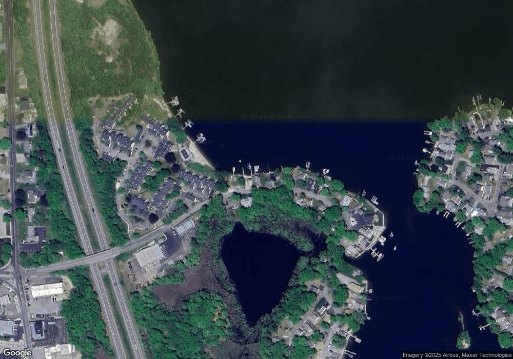
Map
Nearby Homes
- 322 Killdeer Rd
- 45 Tower St Unit B
- 302 Killdeer Rd
- 125 Birch Island Rd
- 274 Killdeer Rd
- 1001 Treasure Island Rd Unit 1001
- 22 Union Point Rd
- 194 Killdeer Rd
- 107 Lake St Unit B
- 12 Tower St
- 0 Thompson Rd
- 12 West Ave Unit B
- 69 Lake St
- 5 Robinson St
- 20 Park Ave
- 45 Point Pleasant Rd
- 56 Whitcomb St
- 52 Whitcomb St
- 6 Hillside Ave
- 8 Thompson Rd
- 49 Birch Island Rd
- 42 Birch Island Rd
- 51 Birch Island Rd
- 36 Birch Island Rd
- 53 Birch Island Rd
- 55 Birch Island Rd
- 107 Birch Island Rd Unit 107 1
- 60 Birch Island Rd
- 115 Beacon Park
- 114 Beacon Park
- 113 Beacon Park
- 112 Beacon Park
- 111 Beacon Park
- 110 Beacon Park
- 109 Beacon Park
- 108 Beacon Park
- 107 Beacon Park
- 106 Beacon Park
- 105 Beacon Park
- 104 Beacon Park