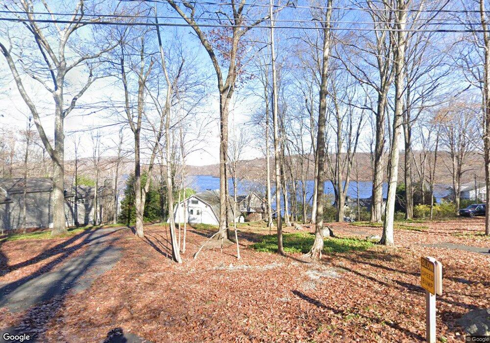
45 Bogus Hill Rd New Fairfield, CT 06812
Estimated Value: $1,393,000 - $2,118,000
4
Beds
4
Baths
2,424
Sq Ft
$680/Sq Ft
Est. Value
About This Home
This home is located at 45 Bogus Hill Rd, New Fairfield, CT 06812 and is currently estimated at $1,649,034, approximately $680 per square foot. 45 Bogus Hill Rd is a home located in Fairfield County with nearby schools including Meeting House Hill School, New Fairfield Middle School, and New Fairfield High School.
Ownership History
Date
Name
Owned For
Owner Type
Purchase Details
Closed on
Aug 15, 2011
Sold by
Baryza James and Baryza Marylou
Bought by
Johnson Michael I and Doder Jeffrey R
Current Estimated Value
Home Financials for this Owner
Home Financials are based on the most recent Mortgage that was taken out on this home.
Original Mortgage
$525,000
Interest Rate
4.51%
Purchase Details
Closed on
Aug 17, 2001
Sold by
Steinhurst David R
Bought by
Moliterno Joseph N and Moliterno Lucille
Home Financials for this Owner
Home Financials are based on the most recent Mortgage that was taken out on this home.
Original Mortgage
$544,000
Interest Rate
7.16%
Purchase Details
Closed on
Apr 24, 1998
Sold by
Goettler Joan
Bought by
Steinhurst David R and Steinhurst Karen S
Create a Home Valuation Report for This Property
The Home Valuation Report is an in-depth analysis detailing your home's value as well as a comparison with similar homes in the area
Home Values in the Area
Average Home Value in this Area
Purchase History
| Date | Buyer | Sale Price | Title Company |
|---|---|---|---|
| Johnson Michael I | $825,000 | -- | |
| Moliterno Joseph N | $718,500 | -- | |
| Steinhurst David R | $430,000 | -- |
Source: Public Records
Mortgage History
| Date | Status | Borrower | Loan Amount |
|---|---|---|---|
| Open | Steinhurst David R | $864,500 | |
| Closed | Steinhurst David R | $525,000 | |
| Previous Owner | Steinhurst David R | $544,000 |
Source: Public Records
Tax History Compared to Growth
Tax History
| Year | Tax Paid | Tax Assessment Tax Assessment Total Assessment is a certain percentage of the fair market value that is determined by local assessors to be the total taxable value of land and additions on the property. | Land | Improvement |
|---|---|---|---|---|
| 2025 | $22,094 | $839,100 | $532,500 | $306,600 |
| 2024 | $19,169 | $524,900 | $352,400 | $172,500 |
| 2023 | $18,319 | $524,900 | $352,400 | $172,500 |
| 2022 | $17,044 | $524,900 | $352,400 | $172,500 |
| 2021 | $16,529 | $524,900 | $352,400 | $172,500 |
| 2020 | $16,051 | $524,900 | $352,400 | $172,500 |
| 2019 | $17,434 | $564,200 | $408,600 | $155,600 |
| 2018 | $17,253 | $564,200 | $408,600 | $155,600 |
| 2017 | $16,824 | $564,200 | $408,600 | $155,600 |
| 2016 | $16,181 | $564,200 | $408,600 | $155,600 |
| 2015 | $16,181 | $564,200 | $408,600 | $155,600 |
| 2014 | $14,743 | $565,300 | $395,800 | $169,500 |
Source: Public Records
Map
Nearby Homes
- 11 Knollcrest Rd
- 256 State Route 39
- 162 Shortwoods Rd
- 8 Heritage Island Rd
- 153 Shortwoods Rd
- 155 Shortwoods Rd
- 11 Squantz View Dr
- 35 Candle Hill Rd
- 4 Harbour View Dr
- 32 Sail Harbour Dr
- 15 Flak Ln
- 17 Lakewood Terrace
- 14 Cherry Dr
- 5 Mountain Dr
- 15 Misty Brook Ln
- 128 Carmen Hill Rd
- 7 Eagle Dr
- 339 State Route 39
- 6 Red Cedar Dr
- 47 Mist Hill Dr
- 47 Bogus Hill Rd
- 43 Bogus Hill Rd
- 49 Bogus Hill Rd
- 41 Bogus Hill Rd
- 51 Bogus Hill Rd
- 26 Bogus Hill Rd
- 39 Bogus Hill Rd
- 30 Bogus Hill Rd
- 32 Bogus Hill Rd
- 53 Bogus Hill Rd
- 32 Bogus Hill Rd
- 9 Sunset Dr
- 7 Sunset Trail
- 37 Bogus Hill Rd
- 34 Bogus Hill Rd
- 55 Bogus Hill Rd
- 11 Sunset Dr
- 11 Sunset Dr
- 5 Sunset Dr
- 57 Bogus Hill Rd