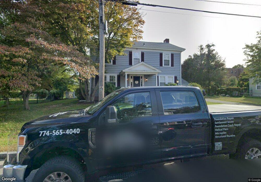
45 Brookfield Rd Riverside, RI 02915
Kent Heights NeighborhoodEstimated Value: $529,000 - $625,784
4
Beds
2
Baths
2,540
Sq Ft
$229/Sq Ft
Est. Value
About This Home
This home is located at 45 Brookfield Rd, Riverside, RI 02915 and is currently estimated at $582,446, approximately $229 per square foot. 45 Brookfield Rd is a home located in Providence County with nearby schools including East Providence High School, St Mary Academy-Bay View, and The Gordon School.
Ownership History
Date
Name
Owned For
Owner Type
Purchase Details
Closed on
Sep 29, 2020
Sold by
Virginia J Geisser Ret and Geisser
Bought by
Geisser Andrew J and Geisser Courtney R
Current Estimated Value
Home Financials for this Owner
Home Financials are based on the most recent Mortgage that was taken out on this home.
Original Mortgage
$280,000
Outstanding Balance
$248,481
Interest Rate
2.9%
Mortgage Type
New Conventional
Estimated Equity
$333,965
Create a Home Valuation Report for This Property
The Home Valuation Report is an in-depth analysis detailing your home's value as well as a comparison with similar homes in the area
Home Values in the Area
Average Home Value in this Area
Purchase History
| Date | Buyer | Sale Price | Title Company |
|---|---|---|---|
| Geisser Andrew J | $350,000 | None Available | |
| Geisser Andrew J | $350,000 | None Available |
Source: Public Records
Mortgage History
| Date | Status | Borrower | Loan Amount |
|---|---|---|---|
| Open | Geisser Andrew J | $280,000 | |
| Closed | Geisser Andrew J | $280,000 |
Source: Public Records
Tax History
| Year | Tax Paid | Tax Assessment Tax Assessment Total Assessment is a certain percentage of the fair market value that is determined by local assessors to be the total taxable value of land and additions on the property. | Land | Improvement |
|---|---|---|---|---|
| 2025 | $7,783 | $595,500 | $181,500 | $414,000 |
| 2024 | $7,757 | $506,000 | $151,300 | $354,700 |
| 2023 | $7,469 | $506,000 | $151,300 | $354,700 |
| 2022 | $7,981 | $365,100 | $111,700 | $253,400 |
| 2021 | $7,850 | $365,100 | $100,700 | $264,400 |
| 2020 | $7,517 | $365,100 | $100,700 | $264,400 |
| 2019 | $7,309 | $365,100 | $100,700 | $264,400 |
| 2018 | $7,049 | $308,100 | $78,400 | $229,700 |
| 2017 | $6,892 | $308,100 | $78,400 | $229,700 |
| 2016 | $6,858 | $308,100 | $78,400 | $229,700 |
| 2015 | $7,075 | $308,300 | $72,600 | $235,700 |
| 2014 | $7,075 | $308,300 | $72,600 | $235,700 |
Source: Public Records
Map
Nearby Homes
- 2941 Pawtucket Ave
- 14 Waterview Ave Unit 16
- 53 Wampanoag Trail
- 50 Kettle Point Ave Unit 50
- 34 Commack Rd
- 106 Wannamoisett Rd
- 6 Fuller Ave
- 25 Bullocks Point Ave Unit 5C
- 33 Bullocks Point Ave Unit 5C
- 43 Bullocks Point Ave Unit 4A
- 29 Ide Ave
- 74 Brookhaven Dr
- 151 Willett Ave Unit 2
- 151 Dover Ave
- 25 Arnold St
- 26 Callender Ave
- 158 S Rose St
- 191 S Spruce St
- 28 Jefferson Ave
- 103 Burnside Ave
- 35 Brookfield Rd
- 53 Brookfield Rd
- 40 Brookfield Rd
- 50 Brookfield Rd
- 71 Brookfield Rd
- 19 Brookfield Rd
- 36 Brookfield Rd Unit 38
- 26 Brookfield Rd
- 75 Brookfield Rd
- 20 Brookfield Rd
- 60 Brookfield Rd
- 15 Brookfield Rd
- 79 Brookfield Rd
- 80 Brookfield Rd
- 83 Brookfield Rd
- 13 Brookfield Rd
- 3062 Pawtucket Ave
- 89 Brookfield Rd
- 53 Merritt Rd
- 47 Merritt Rd
Your Personal Tour Guide
Ask me questions while you tour the home.