45 Brookside Ln Mount Arlington, NJ 07856
Estimated Value: $341,363 - $377,000
Studio
--
Bath
1,102
Sq Ft
$329/Sq Ft
Est. Value
About This Home
This home is located at 45 Brookside Ln, Mount Arlington, NJ 07856 and is currently estimated at $363,091, approximately $329 per square foot. 45 Brookside Ln is a home located in Morris County with nearby schools including Edith M. Decker Elementary School, Mt. Arlington Public School, and St. Therese School.
Ownership History
Date
Name
Owned For
Owner Type
Purchase Details
Closed on
Mar 15, 2006
Sold by
Osborne David
Bought by
Craig Deborah
Current Estimated Value
Home Financials for this Owner
Home Financials are based on the most recent Mortgage that was taken out on this home.
Original Mortgage
$226,000
Outstanding Balance
$128,855
Interest Rate
6.32%
Mortgage Type
New Conventional
Estimated Equity
$234,236
Purchase Details
Closed on
Oct 11, 2001
Sold by
Goodrich Thomas
Bought by
Osborne Dave and Ladas Vanessa
Home Financials for this Owner
Home Financials are based on the most recent Mortgage that was taken out on this home.
Original Mortgage
$147,200
Interest Rate
6.92%
Purchase Details
Closed on
Nov 17, 1998
Sold by
Courtial Alison
Bought by
Goodrich Thomas M
Home Financials for this Owner
Home Financials are based on the most recent Mortgage that was taken out on this home.
Original Mortgage
$108,000
Interest Rate
6.8%
Create a Home Valuation Report for This Property
The Home Valuation Report is an in-depth analysis detailing your home's value as well as a comparison with similar homes in the area
Home Values in the Area
Average Home Value in this Area
Purchase History
| Date | Buyer | Sale Price | Title Company |
|---|---|---|---|
| Craig Deborah | $286,000 | -- | |
| Osborne Dave | $186,000 | -- | |
| Goodrich Thomas M | $135,000 | Chicago Title Insurance Co |
Source: Public Records
Mortgage History
| Date | Status | Borrower | Loan Amount |
|---|---|---|---|
| Open | Craig Deborah | $226,000 | |
| Previous Owner | Osborne Dave | $147,200 | |
| Previous Owner | Goodrich Thomas M | $108,000 |
Source: Public Records
Tax History
| Year | Tax Paid | Tax Assessment Tax Assessment Total Assessment is a certain percentage of the fair market value that is determined by local assessors to be the total taxable value of land and additions on the property. | Land | Improvement |
|---|---|---|---|---|
| 2025 | $5,208 | $255,800 | $100,000 | $155,800 |
| 2024 | $5,001 | $255,800 | $100,000 | $155,800 |
Source: Public Records
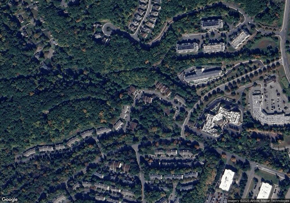
Map
Nearby Homes
- 16 Spruce Terrace Unit 4932
- 38 Spruce Terrace Unit 4832
- 13 Spruce Terrace
- 24 Hickory Way
- 30 Hickory Way
- 48 Hickory Way Unit 4001
- 9 Maple Ln
- 76 Hickory Way Unit 6003
- 42 Crestview Ln
- 51 Crestview Ln Unit 1817
- 25 Sycamore Way
- 136 Crestview Ln Unit 149
- 20 Sycamore Way Unit 106
- 97 Crestview Ln
- 510 Davsel Rd
- 181 Orben Dr
- 603 Bensel Dr
- 512 Colver Rd
- 21 Laurie Rd
- 592 Dell Rd
- 33 Brookside Ln
- 41 Brookside Ln
- 25 Brookside Ln
- 29 Brookside Ln
- 43 Brookside Ln Unit 8432
- 37 Brookside Ln
- 39 Brookside Ln Unit 8424
- 27 Brookside Ln
- 31 Brookside Ln
- 74 Brookside Ln
- 76 Brookside Ln Unit 8332
- 64 Brookside Ln
- 66 Brookside Ln
- 56 Brookside Ln Unit 8311
- 58 Brookside Ln Unit 8312
- 60 Brookside Ln
- 62 Brookside Ln
- 36 Brookside Ln Unit 8511
- 38 Brookside Ln Unit 8512
- 68 Brookside Ln Unit 8323
Your Personal Tour Guide
Ask me questions while you tour the home.