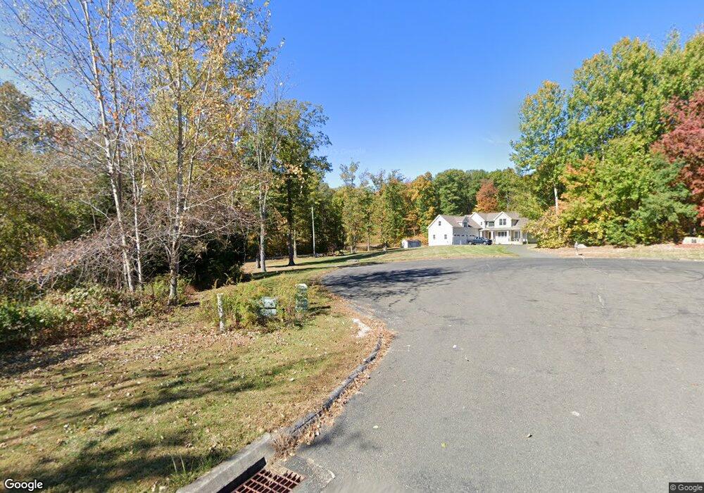
45 Buckridge Rd Harwinton, CT 06791
Estimated Value: $580,000 - $1,794,145
3
Beds
3
Baths
2,437
Sq Ft
$388/Sq Ft
Est. Value
About This Home
This home is located at 45 Buckridge Rd, Harwinton, CT 06791 and is currently estimated at $946,286, approximately $388 per square foot. 45 Buckridge Rd is a home with nearby schools including Harwinton Consolidated School, Har-Bur Middle School, and Lewis S. Mills High School.
Ownership History
Date
Name
Owned For
Owner Type
Purchase Details
Closed on
Apr 29, 2011
Sold by
Letourneau Bldg Corp
Bought by
Lazaroski David P and Lazaroski Pamela M
Current Estimated Value
Home Financials for this Owner
Home Financials are based on the most recent Mortgage that was taken out on this home.
Original Mortgage
$376,000
Outstanding Balance
$258,921
Interest Rate
4.76%
Mortgage Type
Purchase Money Mortgage
Estimated Equity
$687,365
Create a Home Valuation Report for This Property
The Home Valuation Report is an in-depth analysis detailing your home's value as well as a comparison with similar homes in the area
Home Values in the Area
Average Home Value in this Area
Purchase History
| Date | Buyer | Sale Price | Title Company |
|---|---|---|---|
| Lazaroski David P | $942,400 | -- | |
| Lazaroski David P | $942,400 | -- |
Source: Public Records
Mortgage History
| Date | Status | Borrower | Loan Amount |
|---|---|---|---|
| Open | Lazaroski David P | $376,000 | |
| Closed | Lazaroski David P | $376,000 |
Source: Public Records
Tax History
| Year | Tax Paid | Tax Assessment Tax Assessment Total Assessment is a certain percentage of the fair market value that is determined by local assessors to be the total taxable value of land and additions on the property. | Land | Improvement |
|---|---|---|---|---|
| 2025 | $8,705 | $378,480 | $84,080 | $294,400 |
| 2024 | $8,667 | $378,480 | $84,080 | $294,400 |
| 2023 | $8,716 | $298,500 | $57,750 | $240,750 |
| 2022 | $8,507 | $298,500 | $57,750 | $240,750 |
| 2021 | $8,567 | $298,500 | $57,750 | $240,750 |
| 2020 | $8,485 | $303,040 | $62,290 | $240,750 |
| 2019 | $8,485 | $303,040 | $62,290 | $240,750 |
| 2018 | $8,711 | $311,120 | $80,040 | $231,080 |
| 2017 | $8,649 | $311,120 | $80,040 | $231,080 |
| 2016 | $8,500 | $305,750 | $80,040 | $225,710 |
| 2015 | $8,347 | $305,750 | $80,040 | $225,710 |
| 2014 | $8,347 | $305,750 | $80,040 | $225,710 |
Source: Public Records
Map
Nearby Homes
- 126 Harvard Place
- 197 Preston Rd
- 94 Treble Rd
- 16 Smith St
- 23 Lynn Ave
- 2 Sandra Ave
- 4 Southdown Dr
- 90 Battle St
- 35 James P Casey Rd
- 1970 Perkins St
- 439 James P Casey Rd
- 68 Hart St
- 447 North St
- 565 Clark Ave Unit 13
- 565 Clark Ave Unit 56
- 565 Clark Ave Unit 78
- 32 Union St
- 820 Matthews St Unit 19
- 7 Wilson Pond Rd
- 7 Blueberry Ln
- 47 Buckridge Rd
- 36 Buckridge Rd
- 28 Buckridge Rd
- 29 Buckridge Rd
- 41 Buckridge Rd
- 16 Buckridge Rd
- 49 Buckridge Rd
- 23 Buckridge Rd
- 37 Buckridge Rd
- 48 Buckridge Rd
- 11 Buckridge Rd
- 6 Buckridge Rd
- 2 Buckridge Rd
- 0 Buckridge Rd
- 1 Buckridge Rd
- 40 E Church Rd
- 56 E Church Rd
- 28 E Church Rd
- 395 E Plymouth Rd
- 912 Terryville Rd
Your Personal Tour Guide
Ask me questions while you tour the home.