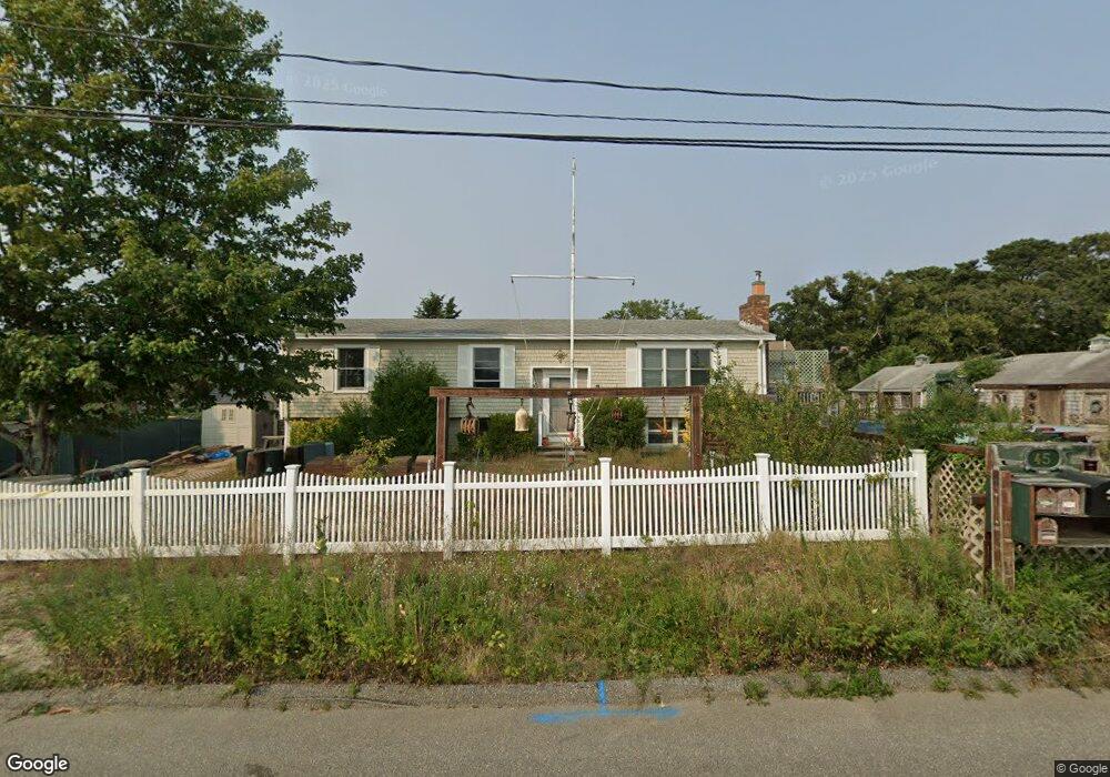
45 Captain Berties Way Provincetown, MA 02657
Estimated Value: $1,083,000 - $1,887,000
5
Beds
2
Baths
2,496
Sq Ft
$605/Sq Ft
Est. Value
About This Home
This home is located at 45 Captain Berties Way, Provincetown, MA 02657 and is currently estimated at $1,510,099, approximately $605 per square foot. 45 Captain Berties Way is a home located in Barnstable County with nearby schools including Provincetown Schools.
Ownership History
Date
Name
Owned For
Owner Type
Purchase Details
Closed on
Sep 10, 2007
Sold by
John C Corea Lt and Mendes
Bought by
Leona C Mendes Lt and Mendes
Current Estimated Value
Purchase Details
Closed on
May 30, 2007
Sold by
Mendes Leona C
Bought by
John C Corea Lt and Leona C Mendes Lt
Purchase Details
Closed on
May 13, 2005
Sold by
Corea John C
Bought by
John C Corea Lt and Mendes
Purchase Details
Closed on
Feb 1, 2001
Sold by
Williams Lana F
Bought by
Corea John C and Corea Leona C
Create a Home Valuation Report for This Property
The Home Valuation Report is an in-depth analysis detailing your home's value as well as a comparison with similar homes in the area
Home Values in the Area
Average Home Value in this Area
Purchase History
| Date | Buyer | Sale Price | Title Company |
|---|---|---|---|
| Leona C Mendes Lt | -- | -- | |
| Leona C Mendes Lt | -- | -- | |
| Leona C Mendes Lt | -- | -- | |
| John C Corea Lt | -- | -- | |
| John C Corea Lt | -- | -- | |
| John C Corea Lt | -- | -- | |
| John C Corea Lt | -- | -- | |
| John C Corea Lt | -- | -- | |
| Corea John C | $295,000 | -- | |
| Corea John C | $295,000 | -- |
Source: Public Records
Tax History Compared to Growth
Tax History
| Year | Tax Paid | Tax Assessment Tax Assessment Total Assessment is a certain percentage of the fair market value that is determined by local assessors to be the total taxable value of land and additions on the property. | Land | Improvement |
|---|---|---|---|---|
| 2025 | $6,880 | $1,228,500 | $581,000 | $647,500 |
| 2024 | $6,536 | $1,171,400 | $553,600 | $617,800 |
| 2023 | $6,115 | $1,022,500 | $481,500 | $541,000 |
| 2022 | $6,111 | $917,500 | $450,000 | $467,500 |
| 2021 | $5,979 | $844,500 | $409,100 | $435,400 |
| 2020 | $5,449 | $823,100 | $409,100 | $414,000 |
| 2019 | $5,569 | $788,800 | $397,200 | $391,600 |
| 2018 | $4,781 | $641,800 | $308,900 | $332,900 |
| 2017 | $4,768 | $618,400 | $302,900 | $315,500 |
| 2016 | $4,676 | $599,500 | $294,500 | $305,000 |
| 2015 | $4,334 | $587,200 | $288,800 | $298,400 |
Source: Public Records
Map
Nearby Homes
- 27 Captain Berties Way
- 44 Captain Bertie's Way Unit 301
- 44 Captain Bertie's Way Unit 109
- 44 Captain Berties Way Unit 301
- 44 Captain Berties Way Unit 105
- 44 Captain Berties Way Unit 407
- 44 Captain Berties Way Unit 102
- 44 Captain Berties Way Unit 107
- 44 Captain Berties Way Unit 203
- 44 Captain Berties Way Unit 109
- 44 Captain Berties Way Unit 403
- 44 Captain Berties Way Unit 404
- 37D Court St
- 100 Alden St Unit 203
- 22 Brown St
- 27 Court St Pf
- 27 Court St Unit PF
- 36 Shank Painter Rd Unit 11
- 6 Winslow St
- 104 Bradford St Unit 15
- 55 Captain Berties Way
- 0 Captain Bertie's Way Unit R 2037134
- 0 Captain Bertie's Way
- 38 Captain Bertie's Way Unit M-2
- 2 Georges Path Unit B
- 2 Georges Path Unit A
- 2 Georges Path Unit UA
- 39 Captain Berties Way
- 67 Cap'N Bertie's
- 44 Captain Bertie's Way
- 55-R Captain Berties Way
- 44 Captain Berties Way
- 4 Georges Path Unit B
- 4 Georges Path Unit A
- 4 Georges Path Unit UB
- 55R Capt Berties Way
- 3-A Jerome Smith Rd
- 33 Captain Berties Way Unit D
- 33 Captain Berties Way Unit B
- 33 Captain Berties Way Unit C