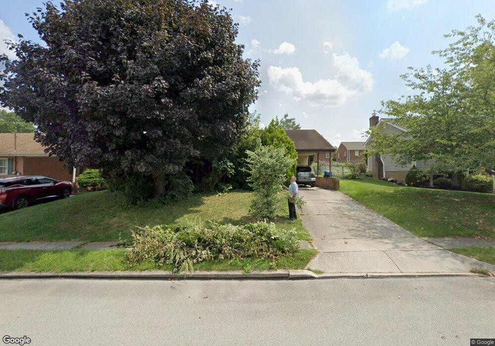
45 Carson Ave Hanover, PA 17331
Estimated Value: $241,346 - $271,000
3
Beds
1
Bath
1,122
Sq Ft
$229/Sq Ft
Est. Value
About This Home
This home is located at 45 Carson Ave, Hanover, PA 17331 and is currently estimated at $257,087, approximately $229 per square foot. 45 Carson Ave is a home located in York County with nearby schools including South Western Senior High School and Delone Catholic High School.
Ownership History
Date
Name
Owned For
Owner Type
Purchase Details
Closed on
Aug 7, 2007
Sold by
Irons Ricky S
Bought by
Irons Ricky S
Current Estimated Value
Home Financials for this Owner
Home Financials are based on the most recent Mortgage that was taken out on this home.
Original Mortgage
$130,000
Outstanding Balance
$82,813
Interest Rate
6.78%
Mortgage Type
New Conventional
Estimated Equity
$174,274
Purchase Details
Closed on
Dec 15, 2000
Sold by
H & H Excavating Company Inc
Bought by
Irons Ricky S and Irons Laura L
Home Financials for this Owner
Home Financials are based on the most recent Mortgage that was taken out on this home.
Original Mortgage
$95,600
Interest Rate
7.71%
Create a Home Valuation Report for This Property
The Home Valuation Report is an in-depth analysis detailing your home's value as well as a comparison with similar homes in the area
Home Values in the Area
Average Home Value in this Area
Purchase History
| Date | Buyer | Sale Price | Title Company |
|---|---|---|---|
| Irons Ricky S | -- | None Available | |
| Irons Ricky S | $112,500 | -- |
Source: Public Records
Mortgage History
| Date | Status | Borrower | Loan Amount |
|---|---|---|---|
| Open | Irons Ricky S | $130,000 | |
| Closed | Irons Ricky S | $95,600 |
Source: Public Records
Tax History
| Year | Tax Paid | Tax Assessment Tax Assessment Total Assessment is a certain percentage of the fair market value that is determined by local assessors to be the total taxable value of land and additions on the property. | Land | Improvement |
|---|---|---|---|---|
| 2025 | $3,768 | $111,810 | $28,090 | $83,720 |
| 2024 | $3,768 | $111,810 | $28,090 | $83,720 |
| 2023 | $3,701 | $111,810 | $28,090 | $83,720 |
| 2022 | $3,622 | $111,810 | $28,090 | $83,720 |
| 2021 | $3,424 | $111,810 | $28,090 | $83,720 |
| 2020 | $3,424 | $111,810 | $28,090 | $83,720 |
| 2019 | $3,358 | $111,810 | $28,090 | $83,720 |
| 2018 | $3,313 | $111,810 | $28,090 | $83,720 |
| 2017 | $3,237 | $111,810 | $28,090 | $83,720 |
| 2016 | $0 | $111,810 | $28,090 | $83,720 |
| 2015 | -- | $111,810 | $28,090 | $83,720 |
| 2014 | -- | $111,810 | $28,090 | $83,720 |
Source: Public Records
Map
Nearby Homes
- 12 Oneill Ave
- 23 Oneill Ave
- 583 Mcallister St
- 120 Charles Ave
- 76 Coop Ln
- 517 Charles Ave
- 101 Overlook Dr
- 819 8191/2 York St
- 538 York St
- 522 S High St
- 29 Meadowview Dr
- 566 Baer Ave
- 543 2 Baer Ave
- 917 Baltimore St
- 170 Morningstar Ct
- 18 Beck Mill Rd
- 146 Pleasant St
- 927 S Franklin St
- 11 Narrow Rd
- 139 Mussetta St
Your Personal Tour Guide
Ask me questions while you tour the home.