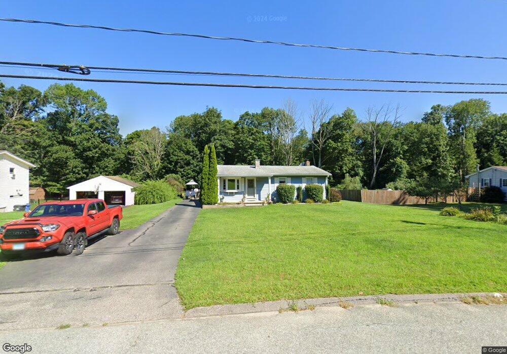
45 Cedar Ln Bozrah, CT 06334
Estimated Value: $316,989 - $437,000
3
Beds
1
Bath
936
Sq Ft
$396/Sq Ft
Est. Value
About This Home
This home is located at 45 Cedar Ln, Bozrah, CT 06334 and is currently estimated at $370,747, approximately $396 per square foot. 45 Cedar Ln is a home located in New London County with nearby schools including Fields Memorial School, Stoneview Children's University, and St. Patrick Cathedral School.
Ownership History
Date
Name
Owned For
Owner Type
Purchase Details
Closed on
Oct 3, 2006
Sold by
Parker Joan
Bought by
Ward Jamie
Current Estimated Value
Home Financials for this Owner
Home Financials are based on the most recent Mortgage that was taken out on this home.
Original Mortgage
$180,000
Outstanding Balance
$104,069
Interest Rate
6.37%
Estimated Equity
$266,678
Create a Home Valuation Report for This Property
The Home Valuation Report is an in-depth analysis detailing your home's value as well as a comparison with similar homes in the area
Home Values in the Area
Average Home Value in this Area
Purchase History
| Date | Buyer | Sale Price | Title Company |
|---|---|---|---|
| Ward Jamie | $225,000 | -- |
Source: Public Records
Mortgage History
| Date | Status | Borrower | Loan Amount |
|---|---|---|---|
| Open | Ward Jamie | $180,000 | |
| Closed | Ward Jamie | $45,000 | |
| Previous Owner | Ward Jamie | $70,000 | |
| Previous Owner | Ward Jamie | $85,000 |
Source: Public Records
Tax History
| Year | Tax Paid | Tax Assessment Tax Assessment Total Assessment is a certain percentage of the fair market value that is determined by local assessors to be the total taxable value of land and additions on the property. | Land | Improvement |
|---|---|---|---|---|
| 2025 | $3,389 | $144,200 | $39,970 | $104,230 |
| 2024 | $3,281 | $144,200 | $39,970 | $104,230 |
| 2023 | $3,245 | $144,200 | $39,970 | $104,230 |
| 2022 | $2,796 | $103,560 | $39,980 | $63,580 |
| 2021 | $2,796 | $103,560 | $39,980 | $63,580 |
| 2020 | $2,796 | $103,560 | $39,980 | $63,580 |
| 2019 | $2,848 | $103,560 | $39,980 | $63,580 |
| 2018 | $2,848 | $103,560 | $39,980 | $63,580 |
| 2014 | $2,811 | $105,070 | $42,480 | $62,590 |
Source: Public Records
Map
Nearby Homes
- 205 Browning Rd
- 60 Cedar Ln
- 240 Browning Rd
- 137 Yantic Ln
- 12 Bayberry Hill Rd
- 242 Browning Rd
- 14 Dalewood Dr
- 171 Otrobando Ave
- 15 Wahconah Dr
- 60 Connecticut Ave
- 00 Plain Hill Rd
- 0 Myrtle Dr
- 108 W Town St
- 215 Wawecus Hill Rd
- 6 Elaine St
- 228 Fitchville Rd
- 47 Huntington Ave
- 230 Vergason Ave
- 408 Fitchville Rd
- 65 Plain Hill Rd
Your Personal Tour Guide
Ask me questions while you tour the home.