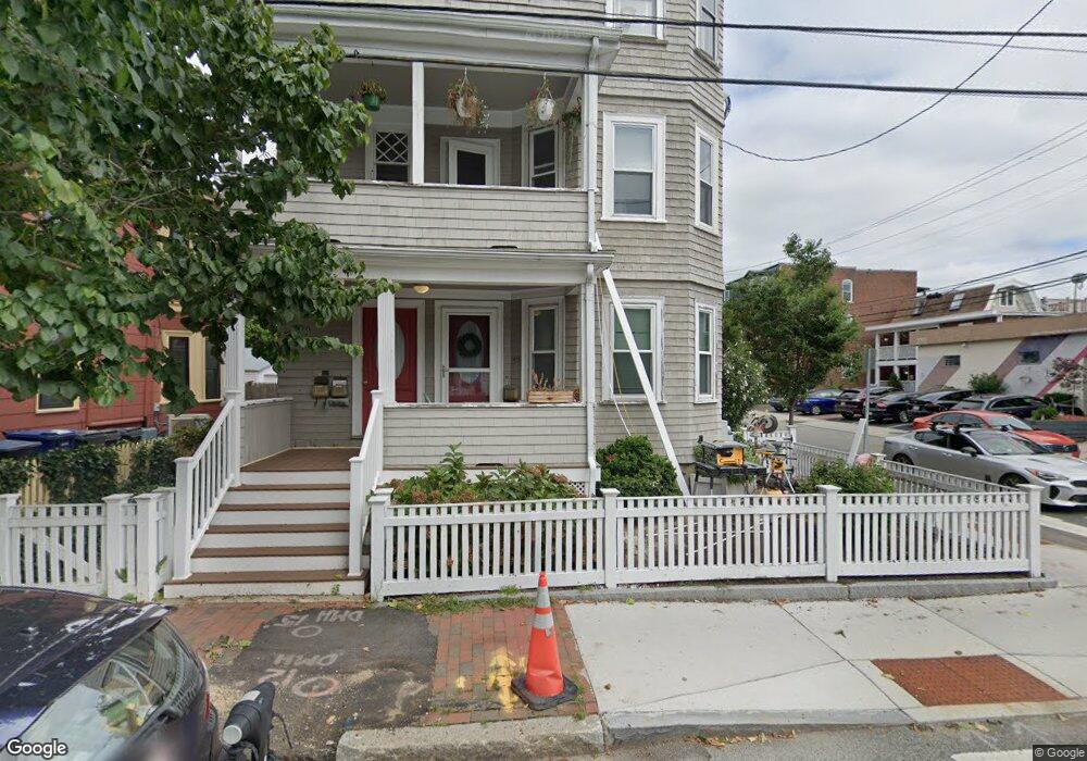
45 Chestnut St Unit 47 Cambridge, MA 02139
Cambridgeport NeighborhoodEstimated Value: $757,667 - $971,000
2
Beds
1
Bath
914
Sq Ft
$974/Sq Ft
Est. Value
About This Home
This home is located at 45 Chestnut St Unit 47, Cambridge, MA 02139 and is currently estimated at $890,167, approximately $973 per square foot. 45 Chestnut St Unit 47 is a home located in Middlesex County with nearby schools including Prospect Hill Academy Charter School, New England Hebrew Academy, and Boston University Academy.
Ownership History
Date
Name
Owned For
Owner Type
Purchase Details
Closed on
Dec 12, 2013
Sold by
Manning Maureen C
Bought by
Winch Jordan B
Current Estimated Value
Home Financials for this Owner
Home Financials are based on the most recent Mortgage that was taken out on this home.
Original Mortgage
$417,000
Outstanding Balance
$316,289
Interest Rate
4.14%
Mortgage Type
New Conventional
Estimated Equity
$573,878
Create a Home Valuation Report for This Property
The Home Valuation Report is an in-depth analysis detailing your home's value as well as a comparison with similar homes in the area
Home Values in the Area
Average Home Value in this Area
Purchase History
| Date | Buyer | Sale Price | Title Company |
|---|---|---|---|
| Winch Jordan B | $524,000 | -- | |
| Winch Jordan B | $524,000 | -- | |
| Winch Jordan B | $524,000 | -- |
Source: Public Records
Mortgage History
| Date | Status | Borrower | Loan Amount |
|---|---|---|---|
| Open | Winch Jordan B | $417,000 | |
| Closed | Winch Jordan B | $417,000 | |
| Previous Owner | Winch Jordan B | $123,600 |
Source: Public Records
Tax History
| Year | Tax Paid | Tax Assessment Tax Assessment Total Assessment is a certain percentage of the fair market value that is determined by local assessors to be the total taxable value of land and additions on the property. | Land | Improvement |
|---|---|---|---|---|
| 2025 | $4,509 | $710,000 | $0 | $710,000 |
| 2024 | $4,145 | $700,100 | $0 | $700,100 |
| 2023 | $4,059 | $692,700 | $0 | $692,700 |
| 2022 | $4,010 | $677,400 | $0 | $677,400 |
| 2021 | $3,898 | $666,300 | $0 | $666,300 |
| 2020 | $3,746 | $651,500 | $0 | $651,500 |
| 2019 | $3,595 | $605,300 | $0 | $605,300 |
| 2018 | $3,501 | $556,600 | $0 | $556,600 |
| 2017 | $3,353 | $516,600 | $0 | $516,600 |
| 2016 | $3,265 | $467,100 | $0 | $467,100 |
| 2015 | $3,233 | $413,400 | $0 | $413,400 |
| 2014 | $2,862 | $341,500 | $0 | $341,500 |
Source: Public Records
Map
Nearby Homes
- 20 Chestnut St Unit 11
- 262 Sidney St Unit 3
- 260 Brookline St Unit 1
- 174 Hamilton St
- 180 Magazine St Unit 3
- 151 Magazine St Unit 2
- 8 Valentine St Unit 8
- 6 Valentine St Unit 10
- 10 Corporal McTernan St Unit 406
- 6 Watson St Unit 1
- 104-106 Auburn St
- 39 Cottage St
- 127 Auburn St
- 129 Auburn St
- 62 Pearl St
- 22 Magazine
- 13 Howard St Unit 1
- 180 Ivy St
- 300 Franklin St Unit 5
- 300 Franklin St Unit 1
- 47 Chestnut St
- 45 Chestnut St Unit 47
- 45 Chestnut St Unit 47
- 45 Chestnut St Unit 1
- 47 Chestnut St Unit 2
- 51 Chestnut St
- 51 Chestnut St Unit 1
- 265 Sidney St
- 55 Chestnut St Unit 2
- 55 Chestnut St Unit 1
- 261 Sidney St
- 48 Chestnut St
- 52 Chestnut St
- 59 Chestnut St
- 272 Sidney St
- 272 Sidney St
- 272 Sidney St Unit 3
- 266 Sidney St
- 260 Sidney St Unit 262
- 260 Sidney St Unit 262
Your Personal Tour Guide
Ask me questions while you tour the home.