45 Clark Ln Sudbury, MA 01776
Estimated Value: $806,703 - $1,191,000
3
Beds
2
Baths
2,092
Sq Ft
$460/Sq Ft
Est. Value
About This Home
This home is located at 45 Clark Ln, Sudbury, MA 01776 and is currently estimated at $962,176, approximately $459 per square foot. 45 Clark Ln is a home located in Middlesex County with nearby schools including Israel Loring Elementary School, Ephraim Curtis Middle School, and Lincoln-Sudbury Regional High School.
Ownership History
Date
Name
Owned For
Owner Type
Purchase Details
Closed on
Oct 26, 2000
Sold by
Ross Frederick S and Milligan Elizabeth B
Bought by
Tabtieng Thepthai
Current Estimated Value
Home Financials for this Owner
Home Financials are based on the most recent Mortgage that was taken out on this home.
Original Mortgage
$359,200
Interest Rate
7.83%
Mortgage Type
Purchase Money Mortgage
Create a Home Valuation Report for This Property
The Home Valuation Report is an in-depth analysis detailing your home's value as well as a comparison with similar homes in the area
Home Values in the Area
Average Home Value in this Area
Purchase History
| Date | Buyer | Sale Price | Title Company |
|---|---|---|---|
| Tabtieng Thepthai | $449,000 | -- |
Source: Public Records
Mortgage History
| Date | Status | Borrower | Loan Amount |
|---|---|---|---|
| Open | Tabtieng Thepthai | $80,000 | |
| Open | Tabtieng Thepthai | $312,000 | |
| Closed | Tabtieng Thepthai | $359,200 | |
| Previous Owner | Tabtieng Thepthai | $35,000 |
Source: Public Records
Tax History Compared to Growth
Tax History
| Year | Tax Paid | Tax Assessment Tax Assessment Total Assessment is a certain percentage of the fair market value that is determined by local assessors to be the total taxable value of land and additions on the property. | Land | Improvement |
|---|---|---|---|---|
| 2025 | $9,963 | $680,500 | $417,900 | $262,600 |
| 2024 | $9,631 | $659,200 | $405,700 | $253,500 |
| 2023 | $9,582 | $607,600 | $375,700 | $231,900 |
| 2022 | $9,086 | $503,400 | $344,800 | $158,600 |
| 2021 | $8,863 | $470,700 | $344,800 | $125,900 |
| 2020 | $8,684 | $470,700 | $344,800 | $125,900 |
| 2019 | $8,430 | $470,700 | $344,800 | $125,900 |
| 2018 | $8,467 | $472,200 | $367,600 | $104,600 |
| 2017 | $7,924 | $446,700 | $349,700 | $97,000 |
| 2016 | $7,693 | $432,200 | $336,400 | $95,800 |
| 2015 | $7,246 | $411,700 | $323,500 | $88,200 |
| 2014 | $7,205 | $399,600 | $313,900 | $85,700 |
Source: Public Records
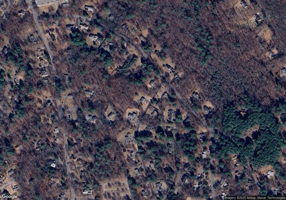
Map
Nearby Homes
- 36 Concord Rd
- 23 Massasoit Ave
- 94 Goodmans Hill Rd
- 270 Old Lancaster Rd
- 1011 Boston Post Rd
- 89 Bridle Path
- 216 Landham Rd
- 6 Old County Rd Unit 16
- 427 Concord Rd
- 24 Woodland Rd
- 7 Adams Rd
- 128 Nobscot Rd
- 24 Goodnow Rd
- 0 Robbins Rd
- 30 Rolling Ln
- 12 Hickory Rd
- 84 Hopestill Brown Rd
- 0 Wagonwheel Rd
- 7 Saddle Ridge Rd
- 54 Stone Rd
- 46 Clark Ln
- 37 Clark Ln
- 53 Clark Ln
- 111 Old Lancaster Rd
- 56 Clark Ln
- 99 Indian Ridge Rd
- 36 Clark Ln
- 16 Walkup Rd
- 108 Old Lancaster Rd
- 93 Indian Ridge Rd
- 31 Clark Ln
- 100 Old Lancaster Rd
- 114 Old Lancaster Rd
- 125 Old Lancaster Rd
- 96 Old Lancaster Rd
- 26 Clark Ln
- 100 Indian Ridge Rd
- 11 Walkup Rd
- 12 Walkup Rd
- 85 Indian Ridge Rd