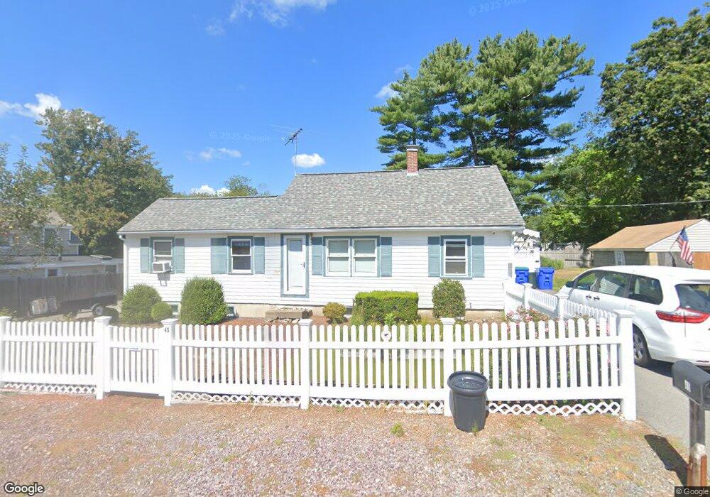
45 Colby St Rockland, MA 02370
Estimated Value: $452,358 - $532,000
3
Beds
1
Bath
864
Sq Ft
$560/Sq Ft
Est. Value
About This Home
This home is located at 45 Colby St, Rockland, MA 02370 and is currently estimated at $483,840, approximately $560 per square foot. 45 Colby St is a home located in Plymouth County with nearby schools including Rockland Senior High School, South Shore Charter Public School, and The Accord School.
Ownership History
Date
Name
Owned For
Owner Type
Purchase Details
Closed on
Feb 22, 2021
Sold by
Schneider John M and Mccann Ellen R
Bought by
Schneider Ft
Current Estimated Value
Purchase Details
Closed on
Jun 6, 1985
Bought by
Schneider John M and Mccann Ellen R
Create a Home Valuation Report for This Property
The Home Valuation Report is an in-depth analysis detailing your home's value as well as a comparison with similar homes in the area
Home Values in the Area
Average Home Value in this Area
Purchase History
| Date | Buyer | Sale Price | Title Company |
|---|---|---|---|
| Schneider Ft | -- | None Available | |
| Schneider John M | $72,500 | -- |
Source: Public Records
Mortgage History
| Date | Status | Borrower | Loan Amount |
|---|---|---|---|
| Previous Owner | Schneider John M | $30,000 |
Source: Public Records
Tax History Compared to Growth
Tax History
| Year | Tax Paid | Tax Assessment Tax Assessment Total Assessment is a certain percentage of the fair market value that is determined by local assessors to be the total taxable value of land and additions on the property. | Land | Improvement |
|---|---|---|---|---|
| 2025 | $5,353 | $391,600 | $224,000 | $167,600 |
| 2024 | $5,195 | $369,500 | $211,300 | $158,200 |
| 2023 | $5,164 | $339,300 | $193,900 | $145,400 |
| 2022 | $4,943 | $295,100 | $168,600 | $126,500 |
| 2021 | $6,973 | $268,600 | $153,200 | $115,400 |
| 2020 | $4,478 | $255,900 | $146,000 | $109,900 |
| 2019 | $0 | $243,800 | $139,000 | $104,800 |
| 2018 | $4,132 | $226,800 | $139,000 | $87,800 |
| 2017 | $9,194 | $218,900 | $139,000 | $79,900 |
| 2016 | $3,894 | $210,600 | $133,700 | $76,900 |
| 2015 | $3,707 | $194,800 | $124,900 | $69,900 |
| 2014 | $3,281 | $178,900 | $110,300 | $68,600 |
Source: Public Records
Map
Nearby Homes
- 55 Turner Rd
- 369 Pond St
- 141 Deerfield Ln
- 150 High St
- 62 High St
- 612 Whiting St
- 9 Damon Farm Way Unit 9
- 214 Washington St Unit 28
- 1193 Main St Unit C1
- 80 Coolidge Rd
- 5 Hobart Ln Unit 5
- 18 Midfield Dr
- 1239 Main St
- 983 Webster St
- 1015 Webster St
- 206-208 Hingham St
- 65 Boxberry Ln
- 159 Gardner St
- 18 Whiting Ln
- 1088 Main St