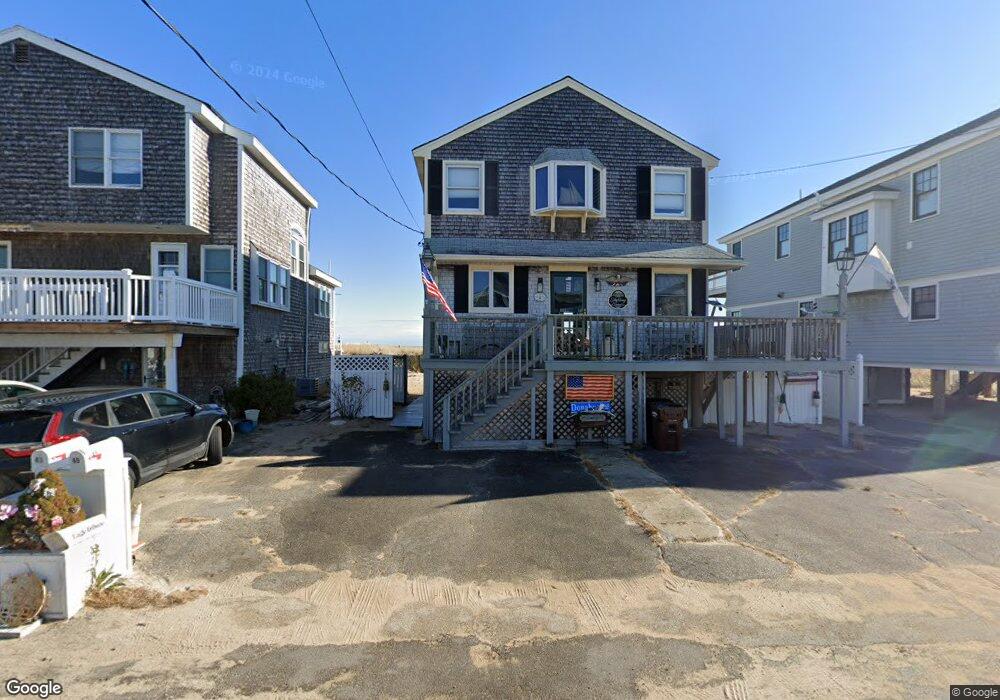
45 Commonwealth Ave Salisbury, MA 01952
Estimated Value: $1,246,000 - $1,405,259
3
Beds
2
Baths
1,728
Sq Ft
$782/Sq Ft
Est. Value
About This Home
This home is located at 45 Commonwealth Ave, Salisbury, MA 01952 and is currently estimated at $1,352,086, approximately $782 per square foot. 45 Commonwealth Ave is a home with nearby schools including Triton Regional High School.
Ownership History
Date
Name
Owned For
Owner Type
Purchase Details
Closed on
Nov 25, 2019
Sold by
Donahue Richard S
Bought by
Riccio Heidi T and Donahue Derek
Current Estimated Value
Home Financials for this Owner
Home Financials are based on the most recent Mortgage that was taken out on this home.
Original Mortgage
$270,000
Outstanding Balance
$235,487
Interest Rate
3.5%
Mortgage Type
New Conventional
Estimated Equity
$1,116,599
Purchase Details
Closed on
Feb 15, 2012
Sold by
Hdhd T T and Hdhd Donahue
Bought by
Donahue Richard S and Donahue Elaine M
Home Financials for this Owner
Home Financials are based on the most recent Mortgage that was taken out on this home.
Original Mortgage
$180,500
Interest Rate
3.93%
Mortgage Type
New Conventional
Purchase Details
Closed on
Dec 22, 2009
Sold by
Donahue Elaine M and Donahue Richard S
Bought by
Hdhd T T and Hdhd Donahue
Create a Home Valuation Report for This Property
The Home Valuation Report is an in-depth analysis detailing your home's value as well as a comparison with similar homes in the area
Home Values in the Area
Average Home Value in this Area
Purchase History
| Date | Buyer | Sale Price | Title Company |
|---|---|---|---|
| Riccio Heidi T | $337,500 | -- | |
| Donahue Richard S | -- | -- | |
| Hdhd T T | -- | -- |
Source: Public Records
Mortgage History
| Date | Status | Borrower | Loan Amount |
|---|---|---|---|
| Open | Riccio Heidi T | $270,000 | |
| Previous Owner | Hdhd T T | $180,500 |
Source: Public Records
Tax History
| Year | Tax Paid | Tax Assessment Tax Assessment Total Assessment is a certain percentage of the fair market value that is determined by local assessors to be the total taxable value of land and additions on the property. | Land | Improvement |
|---|---|---|---|---|
| 2025 | $14,092 | $1,398,000 | $1,088,400 | $309,600 |
| 2024 | $13,551 | $1,296,700 | $989,400 | $307,300 |
| 2023 | $12,755 | $1,181,000 | $904,600 | $276,400 |
| 2022 | $12,096 | $1,085,800 | $819,800 | $266,000 |
| 2021 | $11,965 | $1,062,600 | $819,800 | $242,800 |
| 2020 | $11,780 | $1,027,900 | $819,800 | $208,100 |
| 2019 | $11,324 | $954,800 | $758,900 | $195,900 |
| 2018 | $11,143 | $945,900 | $754,100 | $191,800 |
| 2017 | $10,391 | $871,700 | $696,900 | $174,800 |
| 2016 | $10,098 | $865,300 | $696,900 | $168,400 |
| 2015 | -- | $861,000 | $696,900 | $164,100 |
Source: Public Records
Map
Nearby Homes
- 42 Commonwealth Ave
- 492 N End Blvd
- 308 State Route 286 Unit Lot 73
- 308 State Route 286 Unit Lot 108
- 308 State Route 286 Unit Lot 23
- 308 State Route 286 Unit Lot 87
- 432 N End Blvd
- 308 Route 286 Unit Lot 58
- 3 Tyngsboro St
- 9 Tyngsboro St
- 27 Cross Beach Rd
- 376 Ocean Blvd
- 178 N End Blvd Unit G
- 78 Pembroke St
- 23 River St
- 108 Ocean Dr Unit 1
- 98 Central Ave
- 78 N End Blvd Unit 1
- 100 Forest Rd
- 19 Viola Cir
- 47 Commonwealth Ave
- 41 Commonwealth Ave
- 46 Commonwealth Ave
- 48 Commonwealth Ave
- 44 Commonwealth Ave
- 49 Commonwealth Ave
- 49 Commonwealth Ave Unit 49B
- 39 Commonwealth Ave
- 40 Commonwealth Ave
- 548 N End Blvd
- 548 North End Blvd
- 42 Commonwealth + 552 Neb
- 546 North End Blvd
- 550 North End Blvd
- 51 Commonwealth Ave
- 50 Commonwealth Ave
- 37 Commonwealth Ave
- 552 North End Blvd
- 38 Commonwealth Ave
- 554 North End Blvd
Your Personal Tour Guide
Ask me questions while you tour the home.