45 Crestview Dr Horseshoe Bend, ID 83629
Estimated Value: $950,630 - $1,067,000
3
Beds
3
Baths
3,030
Sq Ft
$327/Sq Ft
Est. Value
About This Home
This home is located at 45 Crestview Dr, Horseshoe Bend, ID 83629 and is currently estimated at $991,210, approximately $327 per square foot. 45 Crestview Dr is a home located in Boise County with nearby schools including Horseshoe Bend Elementary School and Horseshoe Bend Middle/Senior High School.
Ownership History
Date
Name
Owned For
Owner Type
Purchase Details
Closed on
Aug 7, 2024
Sold by
Garro David R
Bought by
Garro Sandra S
Current Estimated Value
Purchase Details
Closed on
Jun 12, 2012
Sold by
Garro Sandra and Garro David
Bought by
Garro David R and Garro Sandra S
Home Financials for this Owner
Home Financials are based on the most recent Mortgage that was taken out on this home.
Original Mortgage
$372,500
Interest Rate
3.77%
Mortgage Type
New Conventional
Create a Home Valuation Report for This Property
The Home Valuation Report is an in-depth analysis detailing your home's value as well as a comparison with similar homes in the area
Purchase History
| Date | Buyer | Sale Price | Title Company |
|---|---|---|---|
| Garro Sandra S | -- | None Listed On Document | |
| Garro David R | -- | Titleone Boise |
Source: Public Records
Mortgage History
| Date | Status | Borrower | Loan Amount |
|---|---|---|---|
| Previous Owner | Garro David R | $372,500 |
Source: Public Records
Tax History
| Year | Tax Paid | Tax Assessment Tax Assessment Total Assessment is a certain percentage of the fair market value that is determined by local assessors to be the total taxable value of land and additions on the property. | Land | Improvement |
|---|---|---|---|---|
| 2025 | $1,858 | $877,501 | $200,000 | $677,501 |
| 2024 | $1,858 | $884,538 | $265,000 | $619,538 |
| 2023 | $2,247 | $776,319 | $286,000 | $490,319 |
| 2022 | $2,818 | $779,007 | $282,000 | $497,007 |
| 2021 | $2,586 | $451,188 | $141,250 | $309,938 |
| 2020 | $2,676 | $556,938 | $122,000 | $434,938 |
| 2019 | $3,226 | $440,434 | $115,000 | $325,434 |
| 2018 | $3,138 | $469,669 | $100,960 | $368,709 |
| 2017 | $3,103 | $305,944 | $93,960 | $211,984 |
| 2016 | $2,458 | $222,180 | $93,960 | $128,220 |
| 2015 | $2,751 | $309,565 | $86,600 | $222,965 |
| 2014 | $2,745 | $311,912 | $86,600 | $225,312 |
| 2013 | -- | $252,611 | $77,000 | $175,611 |
| 2012 | -- | $263,092 | $77,000 | $186,092 |
Source: Public Records
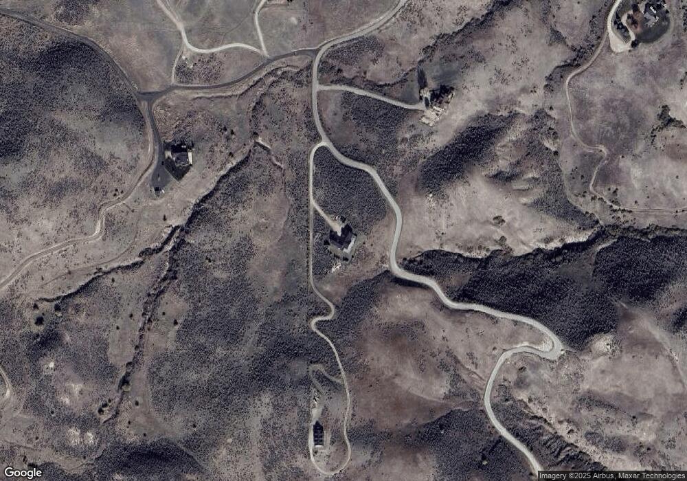
Map
Nearby Homes
- TBD Breadloaf Rd
- 170 Summit Ridge Rd
- 3 Bread Loaf Rd
- TBD Webster Ln - A
- 2 Brook Ln
- 34 Deirdre Dr
- Parcel C Deirdre Ln
- 25 Horseshu Vue Cir
- Parcel 1 Benjamin Ln
- 19 Hisaw Rd
- 442 Old Highway 55
- 3 Branch Rd
- 6266 Idaho 55
- 7372 Powell Place
- Parcel C Pioneer Rd
- 6725 S Kirsten Way
- 6725 S Kirsten Way Unit 929
- 6617 N Good Dr
- 6721 S Kirsten Way Unit 927
- 6627 N Good Dr
- 60 Crestview Dr
- 77 Crest View Dr
- 60 Crestview Dr
- TBD Crestview Dr Unit 2
- TBD Crestview Dr
- 55 Crestview Dr
- 15 Crestview Dr
- TBD Ted's Cabin Rd
- TBD Summit Ridge
- Lot 6 Crestview Dr
- TBD Cresview Dr
- 45 Summit Ridge Rd
- TBD Lakeview
- TBD Lakeview Unit 4
- TBD Lakeview Unit 1
- TBD Lakeview Unit 6
- TBD Lakeview Unit 3
- 105 Crestview Dr
- TBD Summit Ridge Rd Unit 9
- TBD Summit Ridge Rd Unit 36
Your Personal Tour Guide
Ask me questions while you tour the home.