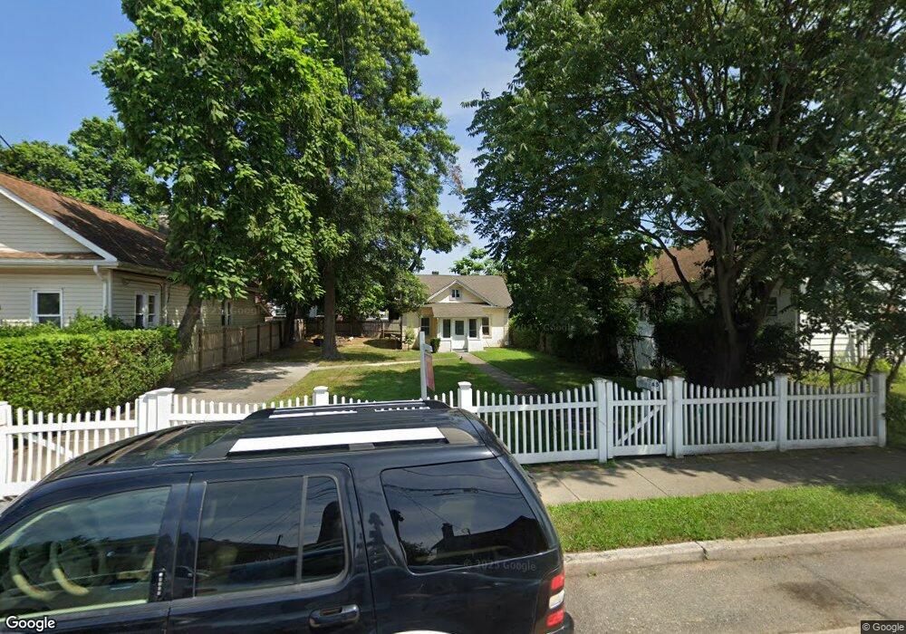
45 Dehnhoff Ave Freeport, NY 11520
Estimated Value: $426,111 - $435,000
2
Beds
1
Bath
664
Sq Ft
$648/Sq Ft
Est. Value
About This Home
This home is located at 45 Dehnhoff Ave, Freeport, NY 11520 and is currently estimated at $430,556, approximately $648 per square foot. 45 Dehnhoff Ave is a home located in Nassau County with nearby schools including Columbus Avenue School, Caroline G. Atkinson Intermediate School, and John W Dodd Middle School.
Ownership History
Date
Name
Owned For
Owner Type
Purchase Details
Closed on
Sep 27, 2017
Sold by
Cypress Owners Corp
Bought by
Colon Joel
Current Estimated Value
Home Financials for this Owner
Home Financials are based on the most recent Mortgage that was taken out on this home.
Original Mortgage
$232,000
Outstanding Balance
$193,785
Interest Rate
3.82%
Mortgage Type
New Conventional
Estimated Equity
$236,771
Purchase Details
Closed on
Nov 11, 2016
Sold by
Ramsammy Leslie
Bought by
Cypress Owners Corp
Purchase Details
Closed on
Dec 8, 2008
Sold by
Retro Active Investments
Bought by
Ramsammy Leslie
Purchase Details
Closed on
Sep 18, 2007
Sold by
Wolkow Michael C
Purchase Details
Closed on
Aug 25, 2005
Sold by
Heywood Mc Donald
Bought by
Springer Diane
Create a Home Valuation Report for This Property
The Home Valuation Report is an in-depth analysis detailing your home's value as well as a comparison with similar homes in the area
Home Values in the Area
Average Home Value in this Area
Purchase History
| Date | Buyer | Sale Price | Title Company |
|---|---|---|---|
| Colon Joel | $290,000 | None Available | |
| Cypress Owners Corp | $103,500 | None Available | |
| Ramsammy Leslie | $369,750 | -- | |
| -- | $291,938 | -- | |
| Springer Diane | $285,000 | -- |
Source: Public Records
Mortgage History
| Date | Status | Borrower | Loan Amount |
|---|---|---|---|
| Open | Colon Joel | $232,000 |
Source: Public Records
Tax History
| Year | Tax Paid | Tax Assessment Tax Assessment Total Assessment is a certain percentage of the fair market value that is determined by local assessors to be the total taxable value of land and additions on the property. | Land | Improvement |
|---|---|---|---|---|
| 2025 | $6,124 | $284 | $121 | $163 |
| 2024 | $670 | $284 | $121 | $163 |
| 2023 | $6,990 | $284 | $121 | $163 |
| 2022 | $6,990 | $284 | $121 | $163 |
| 2021 | $11,164 | $272 | $116 | $156 |
| 2020 | $8,574 | $611 | $348 | $263 |
| 2019 | $1,014 | $611 | $348 | $263 |
| 2018 | $1,049 | $611 | $0 | $0 |
| 2017 | $7,353 | $611 | $348 | $263 |
| 2016 | $8,270 | $611 | $348 | $263 |
| 2015 | $883 | $611 | $348 | $263 |
| 2014 | $883 | $611 | $348 | $263 |
| 2013 | $834 | $611 | $348 | $263 |
Source: Public Records
Map
Nearby Homes
- 45 Dehnhoff Ave
- 67 E Dean St
- 70 N Grove St Unit 1N
- 70 N Grove St Unit 1R
- 101 Harris Ave
- 63 E Seaman Ave
- 26 Rosedale Ave
- 98 N Columbus Ave
- 96 N Columbus Ave
- 35 W Seaman Ave
- 115 N Bergen Place
- 63 Lincoln Place
- 27 W Woodbine Dr
- 100 Randall Ave Unit 1E
- 99 Randall Ave Unit 1Q
- 58 Rutland Rd
- 247 N Columbus Ave
- 101 Wallace St
- 173 E Seaman Ave
- 58 Shonnard Ave
- 47 Dehnhoff Ave
- 43 Dehnhoff Ave
- 120 Jay St
- 60 Washburn Ave
- 41 Dehnhoff Ave
- 65 Dehnhoff Ave
- 54 Washburn Ave
- 62 Washburn Ave
- 64 Washburn Ave
- 69 Dehnhoff Ave
- 56 Dehnhoff Ave
- 66 Lena Ave
- 50 Dehnhoff Ave
- 66 Washburn Ave
- 60 Dehnhoff Ave
- 71 Dehnhoff Ave
- 138 Jay St
- 64 Dehnhoff Ave
- 40 Dehnhoff Ave
- 119 Jay St
Your Personal Tour Guide
Ask me questions while you tour the home.