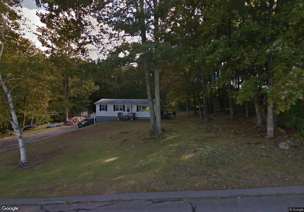
45 Delay Rd Harwinton, CT 06791
Estimated Value: $319,000 - $360,000
3
Beds
1
Bath
1,056
Sq Ft
$314/Sq Ft
Est. Value
About This Home
This home is located at 45 Delay Rd, Harwinton, CT 06791 and is currently estimated at $331,881, approximately $314 per square foot. 45 Delay Rd is a home located in Litchfield County with nearby schools including Harwinton Consolidated School, Har-Bur Middle School, and Lewis S. Mills High School.
Ownership History
Date
Name
Owned For
Owner Type
Purchase Details
Closed on
Dec 3, 2002
Sold by
Alexander Alfred A
Bought by
Ferrarotti Robert J
Current Estimated Value
Home Financials for this Owner
Home Financials are based on the most recent Mortgage that was taken out on this home.
Original Mortgage
$130,000
Interest Rate
6%
Create a Home Valuation Report for This Property
The Home Valuation Report is an in-depth analysis detailing your home's value as well as a comparison with similar homes in the area
Home Values in the Area
Average Home Value in this Area
Purchase History
| Date | Buyer | Sale Price | Title Company |
|---|---|---|---|
| Ferrarotti Robert J | $145,000 | -- | |
| Ferrarotti Robert J | $145,000 | -- |
Source: Public Records
Mortgage History
| Date | Status | Borrower | Loan Amount |
|---|---|---|---|
| Open | Ferrarotti Robert J | $100,000 | |
| Closed | Ferrarotti Robert J | $130,000 |
Source: Public Records
Tax History Compared to Growth
Tax History
| Year | Tax Paid | Tax Assessment Tax Assessment Total Assessment is a certain percentage of the fair market value that is determined by local assessors to be the total taxable value of land and additions on the property. | Land | Improvement |
|---|---|---|---|---|
| 2025 | $3,998 | $173,820 | $74,380 | $99,440 |
| 2024 | $3,980 | $173,820 | $74,380 | $99,440 |
| 2023 | $2,557 | $87,560 | $48,350 | $39,210 |
| 2022 | $2,495 | $87,560 | $48,350 | $39,210 |
| 2021 | $2,513 | $87,560 | $48,350 | $39,210 |
| 2020 | $2,452 | $87,560 | $48,350 | $39,210 |
| 2019 | $2,452 | $87,560 | $48,350 | $39,210 |
| 2018 | $2,682 | $95,800 | $58,110 | $37,690 |
| 2017 | $2,663 | $95,800 | $58,110 | $37,690 |
| 2016 | $2,663 | $95,800 | $58,110 | $37,690 |
| 2015 | $2,615 | $95,800 | $58,110 | $37,690 |
| 2014 | $2,577 | $95,800 | $58,110 | $37,690 |
Source: Public Records
Map
Nearby Homes
- 21 South Rd
- 191 Birch Hill Rd
- 448 Litchfield Rd
- Lot 2 Birch Hill Rd
- 544 Litchfield Rd
- 164 Birge Park Rd
- 184 Campville Hill Rd
- 604 Wildcat Hill Rd
- 67 E Litchfield Rd S
- 29 Branch Rd
- 0 Decker Dr Unit 24148478
- 7 Wilson Pond Rd
- 0 Reder Rd Unit 24133780
- 65 Oak Meadow Ln Unit 65
- 21 Oak Meadow Ln
- 0 Wheeler Rd
- 615 S Main St
- 29 Hannah Way
- 323 Highfield Dr
- 50 Fowler Ave