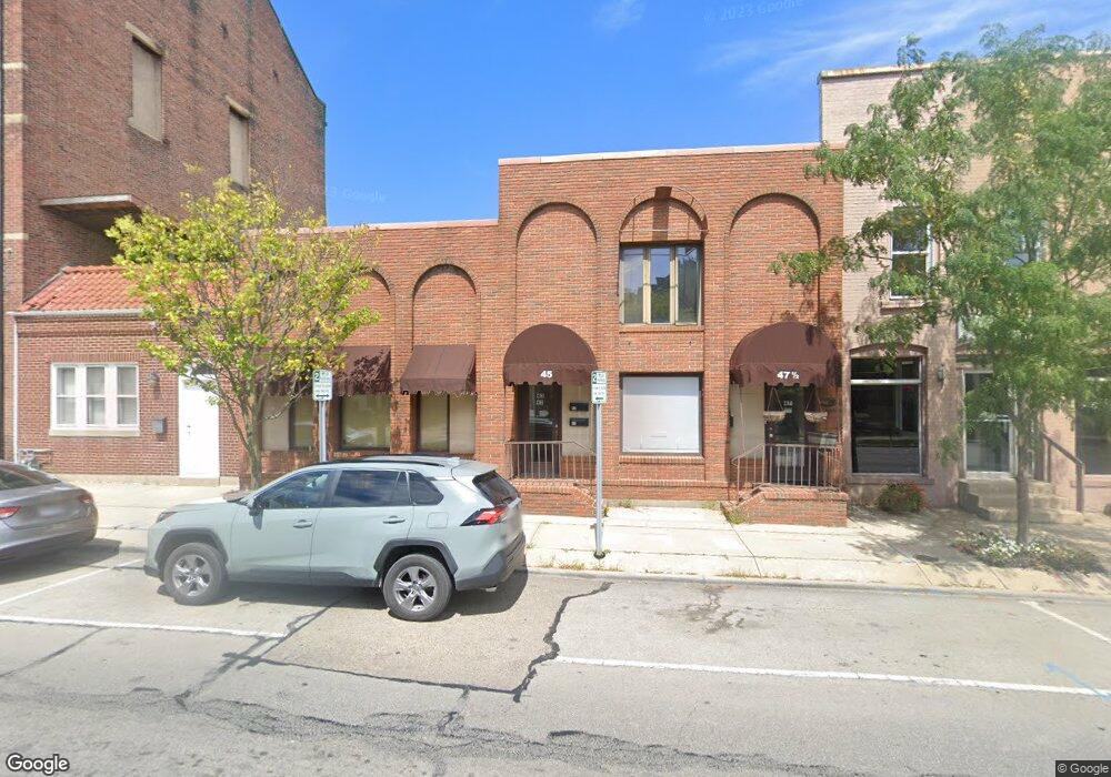
45 E Locust St Wilmington, OH 45177
Estimated Value: $102,094
--
Bed
--
Bath
2,190
Sq Ft
$47/Sq Ft
Est. Value
About This Home
This home is located at 45 E Locust St, Wilmington, OH 45177 and is currently estimated at $102,094, approximately $46 per square foot. 45 E Locust St is a home located in Clinton County with nearby schools including East End Elementary School, Denver Place Elementary School, and Roy E. Holmes Elementary School.
Ownership History
Date
Name
Owned For
Owner Type
Purchase Details
Closed on
Sep 21, 2013
Sold by
Mcmullen James L
Bought by
Lt Land Development Llc
Current Estimated Value
Purchase Details
Closed on
Jan 19, 1999
Sold by
Mcmullen James L
Bought by
Mcmullen James L Trustee (Dental Office)
Purchase Details
Closed on
Jan 1, 1990
Bought by
Mcmullen James L
Create a Home Valuation Report for This Property
The Home Valuation Report is an in-depth analysis detailing your home's value as well as a comparison with similar homes in the area
Home Values in the Area
Average Home Value in this Area
Purchase History
| Date | Buyer | Sale Price | Title Company |
|---|---|---|---|
| Lt Land Development Llc | -- | -- | |
| Mcmullen James L Trustee (Dental Office) | -- | -- | |
| Mcmullen James L | -- | -- |
Source: Public Records
Tax History Compared to Growth
Tax History
| Year | Tax Paid | Tax Assessment Tax Assessment Total Assessment is a certain percentage of the fair market value that is determined by local assessors to be the total taxable value of land and additions on the property. | Land | Improvement |
|---|---|---|---|---|
| 2024 | $1,330 | $30,840 | $1,750 | $29,090 |
| 2023 | $1,330 | $30,840 | $1,750 | $29,090 |
| 2022 | $1,245 | $27,970 | $1,820 | $26,150 |
| 2021 | $1,333 | $27,970 | $1,820 | $26,150 |
| 2020 | $1,288 | $27,970 | $1,820 | $26,150 |
| 2019 | $789 | $15,710 | $1,820 | $13,890 |
| 2018 | $796 | $15,710 | $1,820 | $13,890 |
| 2017 | $389 | $15,710 | $1,820 | $13,890 |
| 2016 | $1,422 | $26,150 | $0 | $0 |
| 2015 | $1,402 | $26,150 | $0 | $0 |
| 2013 | $1,374 | $26,150 | $0 | $0 |
Source: Public Records
Map
Nearby Homes
- 0 St Rt 134 Unit 1607133
- 0 S US Rt 68 Unit 1527315
- 70 Library Ave
- 136 N Spring St
- 146 N Spring St
- 161 N Spring St
- 1053 Main St
- 0 Antioch Rd Unit 891198
- 0 Prairie Rd Unit 1863689
- 0 Prairie Rd Unit 1835070
- 0 N Wood St
- 272 S Walnut St
- 421 N Spring St
- 324 S Walnut St
- 170 N Wall St
- 338 S Walnut St
- 442 High St
- 668 Catalpa Dr
- 379 Virginia Cir
- 329 Grant St
- 39 E Locust St
- 47 E Locust St
- 53 E Locust St
- 55 E Locust St
- 94 South St
- 76 N South St
- 94 N South St
- 74 N South St
- 1 Us Rt 22 & 3
- 36 Columbus St
- 50 Columbus St
- 116 N Walnut St
- 58 Columbus St
- 76 Columbus St
- 111 E Locust St
- 160 N South St
- 123 N South St
- 63 Us Rt 68
- 121 E Locust St
- 121 E Locust St Unit 4