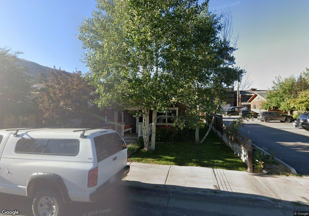
45 E Simpson Ave Jackson, WY 83001
Estimated Value: $2,624,000 - $3,053,000
1
Bed
1
Bath
962
Sq Ft
$2,983/Sq Ft
Est. Value
About This Home
This home is located at 45 E Simpson Ave, Jackson, WY 83001 and is currently estimated at $2,869,881, approximately $2,983 per square foot. 45 E Simpson Ave is a home with nearby schools including Jackson Elementary School, Jackson Hole Middle School, and Jackson Hole High School.
Ownership History
Date
Name
Owned For
Owner Type
Purchase Details
Closed on
Apr 29, 2025
Sold by
4547 Simpson Llc
Bought by
Pub View Llc
Current Estimated Value
Purchase Details
Closed on
Aug 19, 2015
Sold by
Whitaker Terrence M
Bought by
4547 Simpson Llc
Purchase Details
Closed on
Jul 27, 2005
Sold by
Whitaker Terrence M
Bought by
Whitaker Terrence M and The Terrence M Whitaker Living Trust
Create a Home Valuation Report for This Property
The Home Valuation Report is an in-depth analysis detailing your home's value as well as a comparison with similar homes in the area
Purchase History
| Date | Buyer | Sale Price | Title Company |
|---|---|---|---|
| Pub View Llc | -- | Wyoming Title | |
| 4547 Simpson Llc | -- | None Available | |
| Whitaker Terrence M | -- | First American Title Insuran |
Source: Public Records
Tax History
| Year | Tax Paid | Tax Assessment Tax Assessment Total Assessment is a certain percentage of the fair market value that is determined by local assessors to be the total taxable value of land and additions on the property. | Land | Improvement |
|---|---|---|---|---|
| 2025 | $12,839 | $228,859 | $126,061 | $102,798 |
| 2024 | $14,712 | $261,645 | $133,792 | $127,853 |
| 2023 | $15,210 | $273,494 | $139,360 | $134,134 |
| 2022 | $10,305 | $187,078 | $106,208 | $80,870 |
| 2021 | $6,428 | $115,814 | $65,978 | $49,836 |
| 2020 | $6,431 | $117,879 | $62,300 | $55,579 |
| 2019 | $6,631 | $119,231 | $62,300 | $56,931 |
| 2018 | $5,341 | $97,107 | $59,518 | $37,589 |
| 2017 | $2,761 | $50,639 | $28,172 | $22,467 |
| 2016 | $3,316 | $57,215 | $28,292 | $28,923 |
| 2015 | $2,038 | $50,266 | $28,292 | $21,974 |
| 2014 | $2,038 | $38,233 | $35,123 | $3,110 |
| 2013 | $2,038 | $38,233 | $35,123 | $3,110 |
Source: Public Records
Map
Nearby Homes
- 110 S Willow St
- 150 W Simpson Ave Unit 404
- 110 & 120 W Hansen Ave
- 130 E Kelly Ave Unit 11
- 125 W Kelly Ave
- 165 N Glenwood St Unit 28
- 165 N Glenwood St Unit 22
- 165 N Glenwood St Unit 31
- 165 N Glenwood St Unit 29
- 165 N Glenwood St Unit 23
- 165 N Glenwood St Unit 24
- 165 N Glenwood St Unit 30
- 165 S Millward St
- 150 N Jean St
- 20 W Karns Ave
- 170 N Millward St Unit 306
- 371 Snow King Loop
- 100 W Snow King Ave
- 308 Hidden Hollow Dr
- 340 N Millward St Unit 29
- 35 E Simpson Ave
- 60 E Simpson Ave
- 30 E Simpson Ave
- 215 S King St
- 125 S King St Unit A
- TBD Noname Rd
- 90 E Pearl Ave Unit D
- 140 S Cache St
- 70 E Simpson Ave
- 10 E Simpson Ave
- 130 E Simpson Ave Unit A-3
- 65 E Pearl Ave
- 85 King St
- 45 E Hansen Ave
- 275 S King St
- 25 E Hansen Ave
- 75 E Pearl Ave
- 81 S King St
- 105 E Pearl Ave
- 15 E Hansen Ave
Your Personal Tour Guide
Ask me questions while you tour the home.