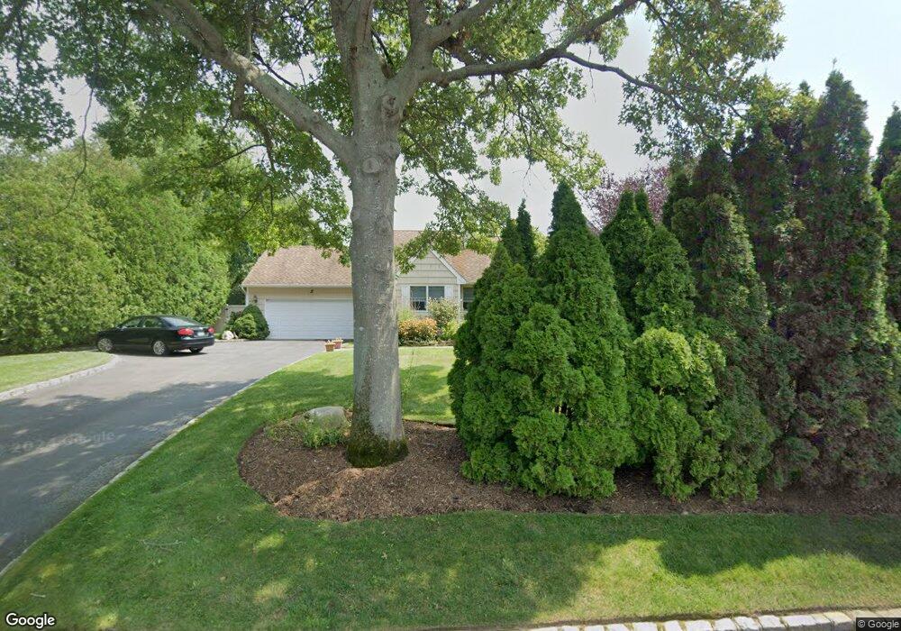
45 Eileen Cir Jamesport, NY 11947
Estimated Value: $680,000 - $911,000
3
Beds
2
Baths
1,400
Sq Ft
$570/Sq Ft
Est. Value
About This Home
This home is located at 45 Eileen Cir, Jamesport, NY 11947 and is currently estimated at $798,364, approximately $570 per square foot. 45 Eileen Cir is a home located in Suffolk County with nearby schools including Pulaski Street Intermediate School, Riverhead Middle School, and Riverhead Senior High School.
Ownership History
Date
Name
Owned For
Owner Type
Purchase Details
Closed on
Apr 20, 2018
Sold by
Brown Howard A and Brown Lindsay K
Bought by
Aloise Douglas and Aloise Donna
Current Estimated Value
Home Financials for this Owner
Home Financials are based on the most recent Mortgage that was taken out on this home.
Original Mortgage
$300,000
Outstanding Balance
$255,424
Interest Rate
4.45%
Mortgage Type
New Conventional
Estimated Equity
$542,940
Purchase Details
Closed on
Aug 25, 1995
Sold by
Piscitelli Mark M and Piscitelli Brenda
Bought by
Piscitelli Mark M
Create a Home Valuation Report for This Property
The Home Valuation Report is an in-depth analysis detailing your home's value as well as a comparison with similar homes in the area
Home Values in the Area
Average Home Value in this Area
Purchase History
| Date | Buyer | Sale Price | Title Company |
|---|---|---|---|
| Aloise Douglas | $445,000 | -- | |
| Piscitelli Mark M | -- | -- |
Source: Public Records
Mortgage History
| Date | Status | Borrower | Loan Amount |
|---|---|---|---|
| Open | Aloise Douglas | $300,000 |
Source: Public Records
Tax History
| Year | Tax Paid | Tax Assessment Tax Assessment Total Assessment is a certain percentage of the fair market value that is determined by local assessors to be the total taxable value of land and additions on the property. | Land | Improvement |
|---|---|---|---|---|
| 2024 | $10,325 | $50,300 | $11,100 | $39,200 |
| 2023 | $10,325 | $50,300 | $11,100 | $39,200 |
| 2022 | $7,824 | $50,300 | $11,100 | $39,200 |
| 2021 | $7,824 | $50,300 | $11,100 | $39,200 |
| 2020 | $9,720 | $50,300 | $11,100 | $39,200 |
| 2019 | $9,720 | $0 | $0 | $0 |
| 2018 | -- | $47,300 | $11,100 | $36,200 |
| 2017 | $8,971 | $47,300 | $11,100 | $36,200 |
| 2016 | $7,900 | $47,300 | $11,100 | $36,200 |
| 2015 | -- | $47,300 | $11,100 | $36,200 |
| 2014 | -- | $47,300 | $11,100 | $36,200 |
Source: Public Records
Map
Nearby Homes
- 61 Eileen Cir
- 1386 Main Rd
- 1705 & 1709 Main Rd
- 100 Manor Ln
- 935 Franklinville Rd
- 196 High Meadow Ln
- 93 Saint Marys Dr
- 264 Washington Ave
- 1 and 2 Campground Cir
- 108 Vista Ct
- 8 N Railroad Ave
- 5750 Aldrich Ln
- 1420 Laurelwood Dr
- 26 Tuthills Ln
- 62 Tuthills Ln
- 132 Tuthills Ln
- 1800 Sound Ave
- 1001 Peconic Bay Blvd
- 957 Peconic Bay Blvd
- 1750 Peconic Bay Blvd
Your Personal Tour Guide
Ask me questions while you tour the home.