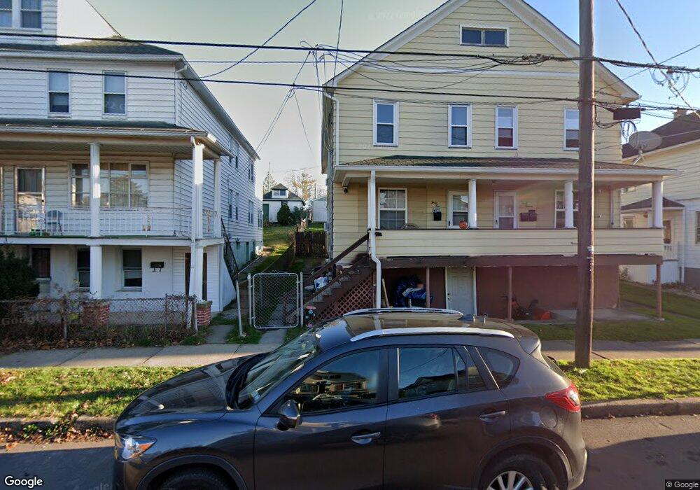
45 Enterprise St Nanticoke, PA 18634
Estimated Value: $161,000 - $177,000
--
Bed
--
Bath
2,752
Sq Ft
$62/Sq Ft
Est. Value
About This Home
This home is located at 45 Enterprise St, Nanticoke, PA 18634 and is currently estimated at $169,506, approximately $61 per square foot. 45 Enterprise St is a home located in Luzerne County with nearby schools including Kennedy Early Childhood Center, Nanticoke Area Elementary Center Center, and Greater Nanticoke Area Senior High School.
Ownership History
Date
Name
Owned For
Owner Type
Purchase Details
Closed on
Jun 11, 2025
Sold by
Falzone Patrick
Bought by
Ma Rd Properties Llc
Current Estimated Value
Home Financials for this Owner
Home Financials are based on the most recent Mortgage that was taken out on this home.
Original Mortgage
$134,400
Outstanding Balance
$133,608
Interest Rate
6.86%
Mortgage Type
New Conventional
Estimated Equity
$35,898
Purchase Details
Closed on
Jul 16, 2015
Sold by
Kozicki Linda and Falzone Linda
Bought by
Falzone Linda and Falzone Patrick
Purchase Details
Closed on
Mar 17, 1994
Bought by
Kozicki Linda
Create a Home Valuation Report for This Property
The Home Valuation Report is an in-depth analysis detailing your home's value as well as a comparison with similar homes in the area
Home Values in the Area
Average Home Value in this Area
Purchase History
| Date | Buyer | Sale Price | Title Company |
|---|---|---|---|
| Ma Rd Properties Llc | $168,000 | None Listed On Document | |
| Ma Rd Properties Llc | $168,000 | None Listed On Document | |
| Falzone Linda | -- | None Available | |
| Kozicki Linda | -- | -- |
Source: Public Records
Mortgage History
| Date | Status | Borrower | Loan Amount |
|---|---|---|---|
| Open | Ma Rd Properties Llc | $134,400 | |
| Closed | Ma Rd Properties Llc | $134,400 |
Source: Public Records
Tax History Compared to Growth
Tax History
| Year | Tax Paid | Tax Assessment Tax Assessment Total Assessment is a certain percentage of the fair market value that is determined by local assessors to be the total taxable value of land and additions on the property. | Land | Improvement |
|---|---|---|---|---|
| 2025 | $2,598 | $99,600 | $27,200 | $72,400 |
| 2024 | $2,598 | $99,600 | $27,200 | $72,400 |
| 2023 | $2,562 | $99,600 | $27,200 | $72,400 |
| 2022 | $2,444 | $99,600 | $27,200 | $72,400 |
| 2021 | $2,391 | $99,600 | $27,200 | $72,400 |
| 2020 | $2,391 | $99,600 | $27,200 | $72,400 |
| 2019 | $2,372 | $99,600 | $27,200 | $72,400 |
| 2018 | $2,331 | $99,600 | $27,200 | $72,400 |
| 2017 | $2,289 | $99,600 | $27,200 | $72,400 |
| 2016 | $943 | $99,600 | $27,200 | $72,400 |
| 2015 | -- | $99,600 | $27,200 | $72,400 |
| 2014 | -- | $99,600 | $27,200 | $72,400 |
Source: Public Records
Map
Nearby Homes
- 0 Enterprise St
- 65 W South St
- 131 W Union St
- 200 W Union St
- 246 E Washington St
- 0 Middle Rd
- 162 W Green St
- 257 E Ridge St
- 314 W Main St
- 416 E Washington St
- 317 E Green St
- 418 E Washington St
- 22 S Walnut St
- 20 Locust St
- 1116 Chestnut St
- 138 Espy St
- 339 E Broad St
- 46 W Kirmar Ave
- 25 Cherry Dr
- 333 State St
- 51 Enterprise St
- 41 Enterprise St
- 37 Enterprise St
- 53 Enterprise St
- 1235 Lincoln Ave
- 33 Enterprise St
- 48 Enterprise St
- 44 Enterprise St
- 52 Enterprise St
- 54 Enterprise St
- 31 Enterprise St
- 1222 New Grant St Unit 4
- 1215 Lincoln Ave
- 25 Enterprise St
- 132 Hanlin Dr
- 1211 Lincoln Ave
- 1220 Lincoln Ave
- 1216 New Grant St
- 205 Enterprise St
- 21 Enterprise St