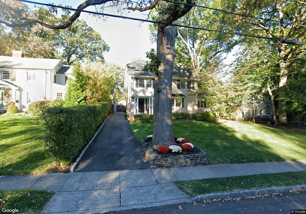
45 Euclid Ave Maplewood, NJ 07040
Estimated Value: $1,508,534 - $1,549,000
--
Bed
--
Bath
2,924
Sq Ft
$523/Sq Ft
Est. Value
About This Home
This home is located at 45 Euclid Ave, Maplewood, NJ 07040 and is currently estimated at $1,528,384, approximately $522 per square foot. 45 Euclid Ave is a home located in Essex County with nearby schools including Delia Bolden Elementary School, Maplewood Middle School, and Columbia Senior High School.
Ownership History
Date
Name
Owned For
Owner Type
Purchase Details
Closed on
Sep 5, 2002
Sold by
Radyke William
Bought by
Dion Michael and Dion Elena
Current Estimated Value
Home Financials for this Owner
Home Financials are based on the most recent Mortgage that was taken out on this home.
Original Mortgage
$522,000
Outstanding Balance
$219,966
Interest Rate
6.36%
Estimated Equity
$1,308,418
Create a Home Valuation Report for This Property
The Home Valuation Report is an in-depth analysis detailing your home's value as well as a comparison with similar homes in the area
Home Values in the Area
Average Home Value in this Area
Purchase History
| Date | Buyer | Sale Price | Title Company |
|---|---|---|---|
| Dion Michael | $580,000 | -- |
Source: Public Records
Mortgage History
| Date | Status | Borrower | Loan Amount |
|---|---|---|---|
| Open | Dion Michael | $522,000 |
Source: Public Records
Tax History Compared to Growth
Tax History
| Year | Tax Paid | Tax Assessment Tax Assessment Total Assessment is a certain percentage of the fair market value that is determined by local assessors to be the total taxable value of land and additions on the property. | Land | Improvement |
|---|---|---|---|---|
| 2025 | $31,322 | $1,298,900 | $621,900 | $677,000 |
| 2024 | $31,322 | $1,298,900 | $621,900 | $677,000 |
| 2022 | $30,542 | $866,200 | $438,500 | $427,700 |
| 2021 | $29,615 | $866,200 | $438,500 | $427,700 |
| 2020 | $28,775 | $866,200 | $438,500 | $427,700 |
| 2019 | $27,944 | $866,200 | $438,500 | $427,700 |
| 2018 | $27,225 | $866,200 | $438,500 | $427,700 |
| 2017 | $26,410 | $866,200 | $438,500 | $427,700 |
| 2016 | $25,758 | $699,000 | $408,500 | $290,500 |
| 2015 | $25,164 | $699,000 | $408,500 | $290,500 |
| 2014 | $24,633 | $699,000 | $408,500 | $290,500 |
Source: Public Records
Map
Nearby Homes
- 66 Claremont Ave
- 13 Collinwood Rd Unit 15
- 168 Wyoming Ave
- 73 Jefferson Ave
- 630 Ridgewood Rd
- 432 Walton Rd
- 8 Kendal Ave
- 2 Maplewood Ave
- 609 So Orange Ave West5q Unit 5Q
- 609 W South Orange Ave
- 311 Lenox Ave
- 658 Ridgewood Rd Unit 2
- 11 Oakview Ave
- 23 Kensington Terrace
- 616 S Orange Ave Sh4 Unit SH4
- 72 Myrtle Ave
- 37 Cypress St
- 28 Wesley Ct
- 688 Valley St
- 83 Hixon Place