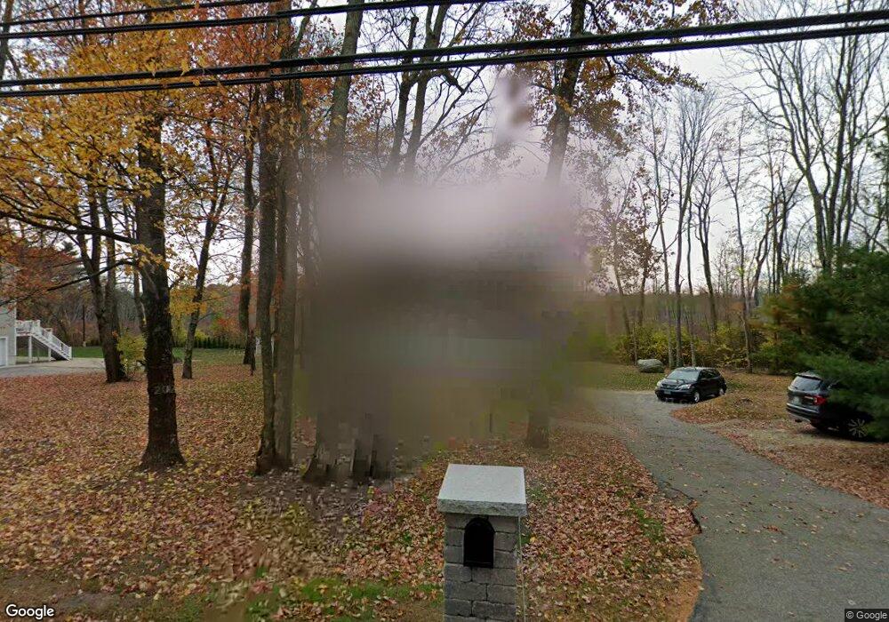
45 Flanders Rd Westborough, MA 01581
Estimated Value: $576,000 - $721,427
3
Beds
2
Baths
1,600
Sq Ft
$415/Sq Ft
Est. Value
About This Home
This home is located at 45 Flanders Rd, Westborough, MA 01581 and is currently estimated at $663,357, approximately $414 per square foot. 45 Flanders Rd is a home located in Worcester County with nearby schools including Westborough High School, Westboro Knowledge Beginnings, and Ebridge Montessori School.
Ownership History
Date
Name
Owned For
Owner Type
Purchase Details
Closed on
Apr 1, 2003
Sold by
Guilbeau Michael A and Guilbeau Kim A
Bought by
Tibbetts Patrick H and Tibbetts Jennifer E
Current Estimated Value
Home Financials for this Owner
Home Financials are based on the most recent Mortgage that was taken out on this home.
Original Mortgage
$339,900
Outstanding Balance
$147,733
Interest Rate
5.91%
Mortgage Type
Purchase Money Mortgage
Estimated Equity
$515,624
Purchase Details
Closed on
Oct 30, 1998
Sold by
Dunham Christine L
Bought by
Guilbeau Michael A and Guilbeau Kim A
Purchase Details
Closed on
May 30, 1991
Sold by
Oneill Mark M
Bought by
Dunham Christine L
Purchase Details
Closed on
Jan 8, 1990
Sold by
Nemeth James
Bought by
Oneill Mark
Create a Home Valuation Report for This Property
The Home Valuation Report is an in-depth analysis detailing your home's value as well as a comparison with similar homes in the area
Home Values in the Area
Average Home Value in this Area
Purchase History
| Date | Buyer | Sale Price | Title Company |
|---|---|---|---|
| Tibbetts Patrick H | $330,000 | -- | |
| Guilbeau Michael A | $189,000 | -- | |
| Dunham Christine L | $172,500 | -- | |
| Oneill Mark | $170,000 | -- |
Source: Public Records
Mortgage History
| Date | Status | Borrower | Loan Amount |
|---|---|---|---|
| Open | Oneill Mark | $339,900 | |
| Previous Owner | Oneill Mark | $280,000 |
Source: Public Records
Tax History Compared to Growth
Tax History
| Year | Tax Paid | Tax Assessment Tax Assessment Total Assessment is a certain percentage of the fair market value that is determined by local assessors to be the total taxable value of land and additions on the property. | Land | Improvement |
|---|---|---|---|---|
| 2025 | $10,458 | $642,000 | $321,700 | $320,300 |
| 2024 | $9,662 | $588,800 | $299,200 | $289,600 |
| 2023 | $9,368 | $556,300 | $283,600 | $272,700 |
| 2022 | $8,618 | $466,100 | $225,400 | $240,700 |
| 2021 | $8,185 | $441,500 | $200,800 | $240,700 |
| 2020 | $8,136 | $444,100 | $209,000 | $235,100 |
| 2019 | $7,666 | $418,200 | $209,000 | $209,200 |
| 2018 | $6,503 | $352,300 | $194,700 | $157,600 |
| 2017 | $6,271 | $352,300 | $194,700 | $157,600 |
| 2016 | $5,997 | $337,500 | $184,400 | $153,100 |
| 2015 | $6,085 | $327,300 | $184,400 | $142,900 |
Source: Public Records
Map
Nearby Homes
- 135 E Main St Unit K-12
- 14C Mayberry Dr Unit 1
- 17 Oak St
- 9 Mayberry Dr Unit 1
- 8 Mayberry Dr Unit 5
- 38 Haskell St
- 15 Beach St
- 44 South St
- 165 Turnpike Rd Unit 42
- 75 South St
- 14 Grove St Unit 3
- 21 Sheffield Way
- 18 Church St
- 43 Church St
- 8 West St
- 6 Walker St
- 19 Treetop Park Unit 19
- 9 Treetop Park
- 4 Upton Rd
- 196 -198 Turnpike Rd