45 Flintlock Cir West Grove, PA 19390
Estimated Value: $554,914 - $722,000
3
Beds
3
Baths
1,852
Sq Ft
$337/Sq Ft
Est. Value
About This Home
This home is located at 45 Flintlock Cir, West Grove, PA 19390 and is currently estimated at $624,729, approximately $337 per square foot. 45 Flintlock Cir is a home located in Chester County with nearby schools including Penn London Elementary School, Avon Grove Intermediate School, and Fred S Engle Middle School.
Ownership History
Date
Name
Owned For
Owner Type
Purchase Details
Closed on
Nov 22, 2011
Sold by
Brockson William B and Brockson Jennifer E
Bought by
Gordon Christine S
Current Estimated Value
Home Financials for this Owner
Home Financials are based on the most recent Mortgage that was taken out on this home.
Original Mortgage
$239,200
Outstanding Balance
$163,662
Interest Rate
4.09%
Mortgage Type
New Conventional
Estimated Equity
$461,067
Purchase Details
Closed on
Apr 30, 2003
Sold by
Willow Creek Llc
Bought by
Brockson William B and Brockson Jennifer E
Home Financials for this Owner
Home Financials are based on the most recent Mortgage that was taken out on this home.
Original Mortgage
$191,450
Interest Rate
5.53%
Mortgage Type
Purchase Money Mortgage
Create a Home Valuation Report for This Property
The Home Valuation Report is an in-depth analysis detailing your home's value as well as a comparison with similar homes in the area
Home Values in the Area
Average Home Value in this Area
Purchase History
| Date | Buyer | Sale Price | Title Company |
|---|---|---|---|
| Gordon Christine S | $299,000 | None Available | |
| Brockson William B | $239,331 | -- |
Source: Public Records
Mortgage History
| Date | Status | Borrower | Loan Amount |
|---|---|---|---|
| Open | Gordon Christine S | $239,200 | |
| Previous Owner | Brockson William B | $191,450 | |
| Closed | Brockson William B | $35,850 |
Source: Public Records
Tax History Compared to Growth
Tax History
| Year | Tax Paid | Tax Assessment Tax Assessment Total Assessment is a certain percentage of the fair market value that is determined by local assessors to be the total taxable value of land and additions on the property. | Land | Improvement |
|---|---|---|---|---|
| 2025 | $6,911 | $169,600 | $52,790 | $116,810 |
| 2024 | $6,911 | $169,600 | $52,790 | $116,810 |
| 2023 | $6,767 | $169,600 | $52,790 | $116,810 |
| 2022 | $6,669 | $169,600 | $52,790 | $116,810 |
| 2021 | $6,531 | $169,600 | $52,790 | $116,810 |
| 2020 | $6,314 | $169,600 | $52,790 | $116,810 |
| 2019 | $6,158 | $169,600 | $52,790 | $116,810 |
| 2018 | $6,002 | $169,600 | $52,790 | $116,810 |
| 2017 | $5,878 | $169,600 | $52,790 | $116,810 |
| 2016 | $4,772 | $169,600 | $52,790 | $116,810 |
| 2015 | $4,772 | $169,600 | $52,790 | $116,810 |
| 2014 | $4,772 | $169,600 | $52,790 | $116,810 |
Source: Public Records
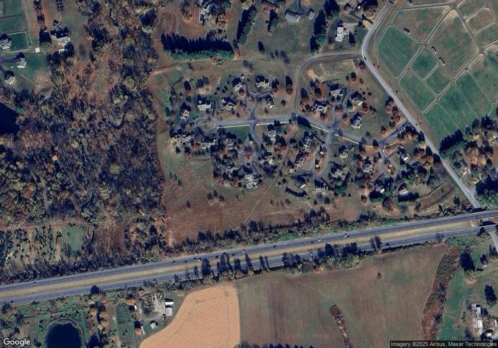
Map
Nearby Homes
- 423 N Guernsey Rd
- 400 N Guernsey Rd
- 403 E Glenview Dr
- 8 Prospect Ave
- 135 Jackson Ave
- 117 Railroad Ave Unit 10
- 735 W Glenview Dr
- 504 Prospect Ave
- 11 White Oak Dr
- 603 Lamborn Ridge Dr
- 9 Morningside Ct
- 653 State Rd
- 25 Holly Dr
- 286 State Rd
- 230 N Jennersville Rd
- 17 Nottingham Dr
- 124 Rose View Dr
- 24 Caversham Dr
- 447 N Jennersville Rd
- 2655 Gap Newport Pike