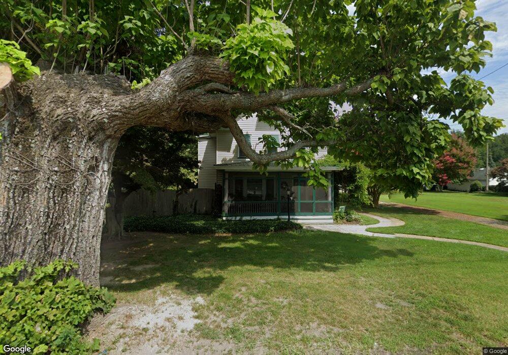
45 Fortescue Rd Newport, NJ 08345
Estimated Value: $223,732 - $313,000
--
Bed
--
Bath
--
Sq Ft
1.45
Acres
About This Home
This home is located at 45 Fortescue Rd, Newport, NJ 08345 and is currently estimated at $274,433. 45 Fortescue Rd is a home located in Cumberland County with nearby schools including Downe Township Elementary School.
Ownership History
Date
Name
Owned For
Owner Type
Purchase Details
Closed on
Nov 6, 2019
Sold by
Mints Timothy T and Mints Valerie N
Bought by
Mints Timothy T
Current Estimated Value
Purchase Details
Closed on
Jun 22, 1995
Sold by
Snyder Martha Lucille and Snyder Ralph
Bought by
Mints Timothy T and Mints Valerie N
Create a Home Valuation Report for This Property
The Home Valuation Report is an in-depth analysis detailing your home's value as well as a comparison with similar homes in the area
Home Values in the Area
Average Home Value in this Area
Purchase History
| Date | Buyer | Sale Price | Title Company |
|---|---|---|---|
| Mints Timothy T | -- | None Available | |
| Mints Timothy T | $75,000 | -- |
Source: Public Records
Tax History Compared to Growth
Tax History
| Year | Tax Paid | Tax Assessment Tax Assessment Total Assessment is a certain percentage of the fair market value that is determined by local assessors to be the total taxable value of land and additions on the property. | Land | Improvement |
|---|---|---|---|---|
| 2025 | $5,084 | $176,300 | $41,800 | $134,500 |
| 2024 | $5,084 | $176,300 | $41,800 | $134,500 |
| 2023 | $4,637 | $176,300 | $41,800 | $134,500 |
| 2022 | $4,520 | $176,300 | $41,800 | $134,500 |
| 2021 | $4,053 | $176,300 | $41,800 | $134,500 |
| 2020 | $4,240 | $176,300 | $41,800 | $134,500 |
| 2019 | $4,170 | $176,300 | $41,800 | $134,500 |
| 2018 | $4,224 | $176,300 | $41,800 | $134,500 |
| 2017 | $4,057 | $176,300 | $41,800 | $134,500 |
| 2016 | $4,053 | $176,300 | $41,800 | $134,500 |
| 2015 | $3,551 | $176,300 | $41,800 | $134,500 |
| 2014 | $3,271 | $176,300 | $41,800 | $134,500 |
Source: Public Records
Map
Nearby Homes
- 13 Hall St
- 184 Landing Rd
- 91 Landis Ave
- 281 Fortescue Rd
- 0 Relm Ave Unit NJCB2022890
- 0 Keln Ave Unit NJCB2022904
- 442 Shaws Mill Rd
- 554 Old Beaver Dam Rd
- 297 Factory Rd
- 377 Main St
- 73 Maple Ave
- 348 Main St
- 0 Lawn Ave Unit NJCB2022888
- 0 Lawn Ave Unit NJCB2022906
- 0 Forn Unit NJCB2022896
- 0 W Forn Unit NJCB2022892
- 0 Nark-Lawn Ave Unit NJCB2022900
- 0 Nark-Lawn Ave Unit NJCB2022902
- 0 Nark-Lawn Ave Unit NJCB2022898
- 167 Cove Rd
- 42 Fortescue Rd
- 49 Fortescue Rd
- 50 Fortescue Rd
- 38 Fortescue Rd
- 48 Fortescue Rd
- 33 Fortescue Rd
- 32 Fortescue Rd
- 34 Fortescue Rd
- 40 Fortescue Rd
- 44 Fortescue Rd
- 135 Fortescue Rd
- 27 Fortescue Rd
- 28 Fortescue Rd
- 62 Fortescue Rd
- 28 Hall St
- 66 Hall St
- 26 Fortescue Rd
- 25 Fortescue Rd
- 25 Hall St
- 23 Fortescue Rd