45 Grist Flat Rd Tunkhannock, PA 18657
Estimated Value: $381,000 - $491,092
--
Bed
--
Bath
--
Sq Ft
214.5
Acres
About This Home
This home is located at 45 Grist Flat Rd, Tunkhannock, PA 18657 and is currently estimated at $436,023. 45 Grist Flat Rd is a home with nearby schools including Tunkhannock Middle School and Tunkhannock High School.
Ownership History
Date
Name
Owned For
Owner Type
Purchase Details
Closed on
Jun 27, 2024
Sold by
Mast Clarence
Bought by
Maynard Hill Estates Llc
Current Estimated Value
Purchase Details
Closed on
Sep 22, 2016
Sold by
Mast Brian E
Bought by
Swn Production Company Llc
Create a Home Valuation Report for This Property
The Home Valuation Report is an in-depth analysis detailing your home's value as well as a comparison with similar homes in the area
Home Values in the Area
Average Home Value in this Area
Purchase History
| Date | Buyer | Sale Price | Title Company |
|---|---|---|---|
| Maynard Hill Estates Llc | $396,349 | -- | |
| Swn Production Company Llc | -- | None Available | |
| Swn Prodution Company Llc | -- | None Available | |
| Swn Prodution Company Llc | -- | None Available | |
| Swn Production Company Llc | -- | None Available |
Source: Public Records
Tax History Compared to Growth
Tax History
| Year | Tax Paid | Tax Assessment Tax Assessment Total Assessment is a certain percentage of the fair market value that is determined by local assessors to be the total taxable value of land and additions on the property. | Land | Improvement |
|---|---|---|---|---|
| 2025 | $6,211 | $104,340 | $67,160 | $37,180 |
| 2024 | $10,991 | $97,395 | $59,845 | $37,550 |
| 2023 | $5,942 | $97,395 | $59,845 | $37,550 |
| 2022 | $10,748 | $97,395 | $59,845 | $37,550 |
| 2021 | $5,730 | $97,395 | $59,845 | $37,550 |
| 2020 | $5,730 | $97,395 | $59,845 | $37,550 |
| 2019 | $10,309 | $97,395 | $59,845 | $37,550 |
| 2018 | $5,491 | $97,395 | $59,845 | $37,550 |
| 2017 | $5,411 | $53,130 | $15,580 | $37,550 |
| 2016 | -- | $53,130 | $15,580 | $37,550 |
| 2015 | -- | $53,130 | $15,580 | $37,550 |
| 2014 | -- | $53,130 | $15,580 | $37,550 |
Source: Public Records
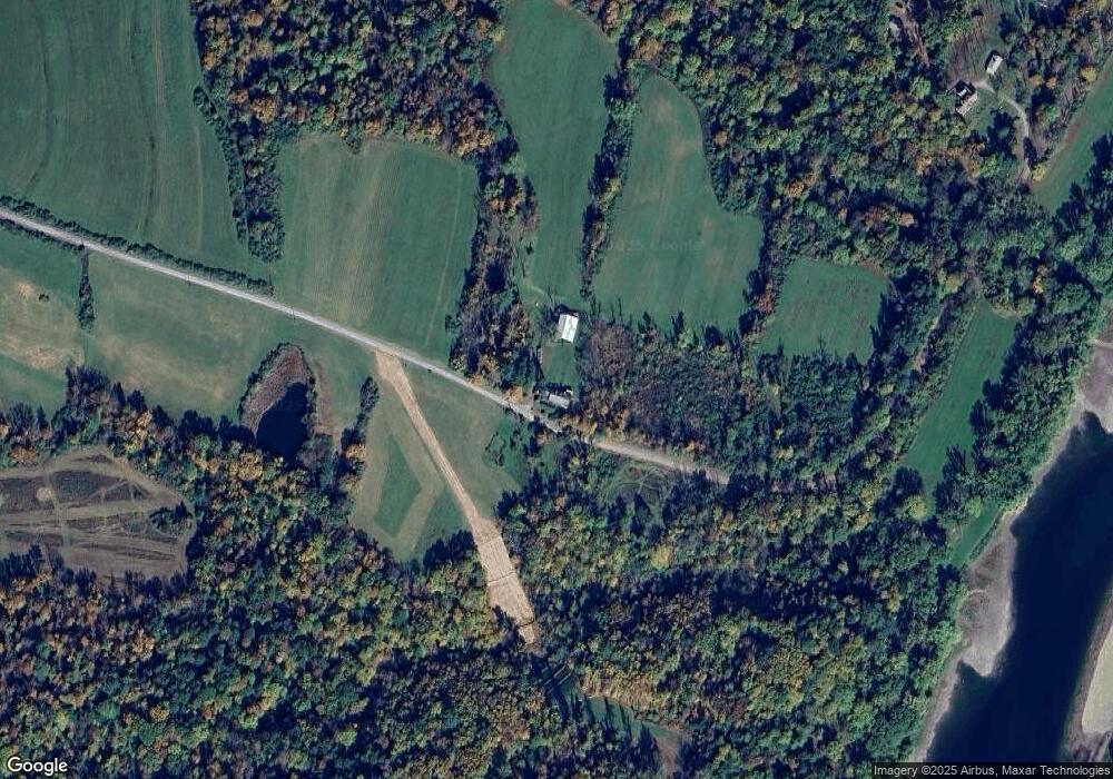
Map
Nearby Homes
- 1033 Sugar Hollow Rd
- 0 Fire Tower Rd Unit LotWP001 20562302
- 0 Fire Tower Rd Unit 11493625
- 55 Margrow Rd
- 5 Karin Dr
- 24 Benson Hollow Ln
- 3324 Jenningsville Rd
- Lot 12 Walnut Ridge Dr
- Lot 29 Walnut Ridge Dr
- Lot 28 Walnut Ridge Dr
- Lot 17 Walnut Ridge Dr
- Lot 16 Walnut Ridge Dr
- Lot 18 Walnut Ridge Dr
- Lot 13 Walnut Ridge Dr
- Lot 19 Walnut Ridge Dr
- 6193 Pennsylvania 87
- 692 Bowman Hollow
- 29 Ferncrest Dr
- 1 Ford Dr
- 7 Hollow Crest Rd
- 64 Grist Flat Rd
- 115 Grist Flat Rd
- 89 Grist Flat Rd
- 89 Grist Flat Rd
- 95 Grist Flat Rd
- 1054 Sugar Hollow Rd
- 142 Andrews Acres Ln
- 1053 Sugar Hollow Rd
- 970 Sugar Hollow Rd
- 0 Grist Flat Rd
- 112 Grist Flat Rd
- 1021 Sugar Hollow Rd
- 119 Grist Flat Rd
- 1119 Sugar Hollow Rd
- 125 Grist Flat Rd
- 125 Grist Flat Rd
- 127 Grist Flat Rd
- 0 Sugar Hollow Rd
- 931 Sugar Hollow Rd
- 1151 Sugar Hollow Rd