45 Grizzly Dr Rutland, MA 01543
Estimated Value: $666,188 - $716,000
4
Beds
3
Baths
2,488
Sq Ft
$280/Sq Ft
Est. Value
About This Home
This home is located at 45 Grizzly Dr, Rutland, MA 01543 and is currently estimated at $697,547, approximately $280 per square foot. 45 Grizzly Dr is a home with nearby schools including Wachusett Regional High School.
Ownership History
Date
Name
Owned For
Owner Type
Purchase Details
Closed on
Feb 15, 1979
Bought by
Bear Hill Estates Llc
Current Estimated Value
Create a Home Valuation Report for This Property
The Home Valuation Report is an in-depth analysis detailing your home's value as well as a comparison with similar homes in the area
Home Values in the Area
Average Home Value in this Area
Purchase History
| Date | Buyer | Sale Price | Title Company |
|---|---|---|---|
| Bear Hill Estates Llc | -- | -- |
Source: Public Records
Tax History Compared to Growth
Tax History
| Year | Tax Paid | Tax Assessment Tax Assessment Total Assessment is a certain percentage of the fair market value that is determined by local assessors to be the total taxable value of land and additions on the property. | Land | Improvement |
|---|---|---|---|---|
| 2025 | $8,729 | $613,000 | $83,700 | $529,300 |
| 2024 | $8,652 | $583,400 | $79,900 | $503,500 |
| 2023 | $258 | $18,800 | $18,800 | $0 |
| 2022 | $251 | $15,900 | $15,900 | $0 |
| 2021 | $266 | $15,900 | $15,900 | $0 |
| 2020 | $264 | $15,000 | $15,000 | $0 |
| 2019 | $256 | $14,300 | $14,300 | $0 |
| 2018 | $1,037 | $57,200 | $57,200 | $0 |
| 2017 | $1,048 | $57,200 | $57,200 | $0 |
| 2016 | $981 | $56,500 | $56,500 | $0 |
Source: Public Records
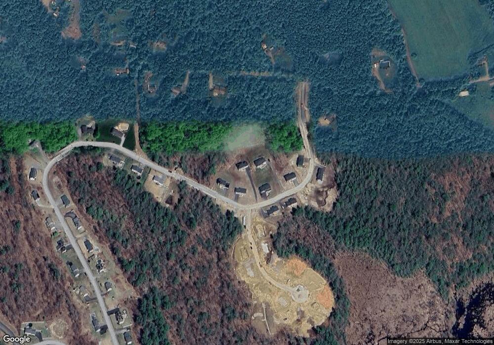
Map
Nearby Homes
- 73 Brintnal Dr
- 35 Brintnal Dr
- 101 Brintnal Dr
- 2 Simon Davis Dr
- 16 Richards Ave
- 40 Brunelle Dr
- 175 Glenwood Rd
- 25 Watson Ln
- 55 Pommogussett Rd
- 5 Miles Rd
- 32 Pommogussett Rd Unit 1
- 10 Soucy Dr
- 147 E County Rd Unit 149
- 28 Forest Hill Dr
- 11 Lewis St
- 21 Lewis St
- 47 Woodside Ave
- 27 Lewis St
- 12 Lewis St
- 51 Woodside Ave