45 Hanson Dr Horseshoe Bend, ID 83629
Estimated Value: $498,000 - $864,000
5
Beds
3
Baths
320
Sq Ft
$2,195/Sq Ft
Est. Value
About This Home
This home is located at 45 Hanson Dr, Horseshoe Bend, ID 83629 and is currently estimated at $702,481, approximately $2,195 per square foot. 45 Hanson Dr is a home located in Boise County with nearby schools including Horseshoe Bend Elementary School and Horseshoe Bend Middle/Senior High School.
Ownership History
Date
Name
Owned For
Owner Type
Purchase Details
Closed on
Aug 28, 2006
Sold by
Drake Kathryn M and Drake Dennis L
Bought by
Drake Cody L and Drake Jeni L
Current Estimated Value
Home Financials for this Owner
Home Financials are based on the most recent Mortgage that was taken out on this home.
Original Mortgage
$204,000
Interest Rate
9.5%
Mortgage Type
Adjustable Rate Mortgage/ARM
Create a Home Valuation Report for This Property
The Home Valuation Report is an in-depth analysis detailing your home's value as well as a comparison with similar homes in the area
Home Values in the Area
Average Home Value in this Area
Purchase History
| Date | Buyer | Sale Price | Title Company |
|---|---|---|---|
| Drake Cody L | -- | -- |
Source: Public Records
Mortgage History
| Date | Status | Borrower | Loan Amount |
|---|---|---|---|
| Closed | Drake Cody L | $204,000 |
Source: Public Records
Tax History Compared to Growth
Tax History
| Year | Tax Paid | Tax Assessment Tax Assessment Total Assessment is a certain percentage of the fair market value that is determined by local assessors to be the total taxable value of land and additions on the property. | Land | Improvement |
|---|---|---|---|---|
| 2024 | $2,159 | $836,078 | $206,250 | $629,828 |
| 2023 | $2,159 | $675,766 | $169,000 | $506,766 |
| 2022 | $2,444 | $670,552 | $158,400 | $512,152 |
| 2021 | $2,579 | $449,887 | $111,000 | $338,887 |
| 2020 | $2,642 | $550,942 | $81,719 | $469,223 |
| 2019 | $1,894 | $251,155 | $72,113 | $179,042 |
| 2018 | $1,737 | $298,004 | $72,113 | $225,891 |
| 2017 | $1,695 | $161,539 | $65,113 | $96,426 |
| 2016 | $1,693 | $149,480 | $61,253 | $88,227 |
| 2015 | $1,944 | $242,097 | $56,866 | $185,231 |
| 2014 | $1,747 | $225,277 | $56,866 | $168,411 |
| 2013 | -- | $178,854 | $47,592 | $131,262 |
| 2012 | -- | $194,920 | $47,592 | $147,328 |
Source: Public Records
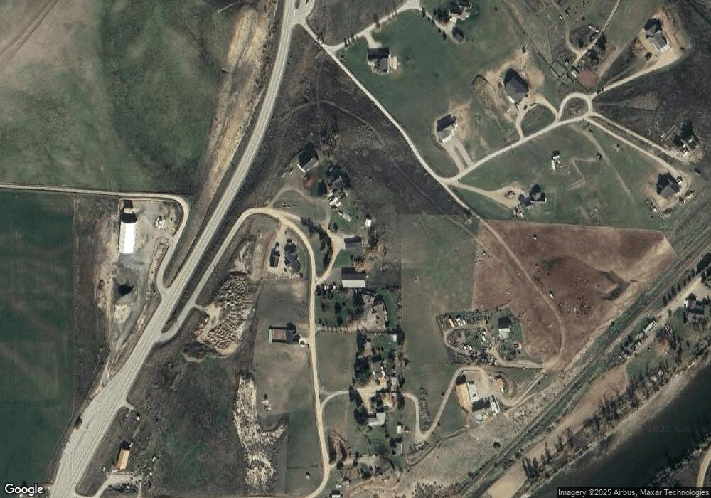
Map
Nearby Homes
- Lot 1 Mallard Ln
- TBD Highway 52 Parcel D
- 101 Vista Ln
- TBD Riverside Dr
- 120 S Riverside Dr
- 115 Caribou St
- 117 Caribou St
- 119 Caribou St
- 121 Caribou St
- TBD Valley View Dr
- 216 Moose St
- 218 Moose St
- 220 Moose St
- 224 Moose St
- 228 Moose St
- 226 Moose St
- 154 Timberwood Dr
- 114 Quinn St
- 103 Bighorn St
- 105 Bighorn St
- 39 Hanson Dr
- 0 Lot 1 Block 1 Hanson's River View Sub
- 49 Hanson Dr
- 46 Hanson Dr
- 17 Teal Ln
- 20 Teal Ln
- 38 Hanson Dr
- 8 Muscovy Rd
- 23 Drake Ln
- Lot 1 Block 1 Hanson Dr
- 27 Hanson Dr
- 3 Coleman Cir
- 4 Coleman Cir
- 4 Coleman Cir
- 12 Mallard Ln
- Lot 2 Blk. 1 Mallard Ln
- Lot 4 Blk. 3 Drake Ln
- Lot 3 Blk. 3 Drake Ln
- Lot 2 Blk. 3 Drake Ln
- Lot 1 Blk. 3 Drake Ln