45 Harrison St Unit A Roslindale, MA 02131
Roslindale NeighborhoodEstimated Value: $423,554 - $511,000
2
Beds
2
Baths
1,074
Sq Ft
$438/Sq Ft
Est. Value
About This Home
This home is located at 45 Harrison St Unit A, Roslindale, MA 02131 and is currently estimated at $470,389, approximately $437 per square foot. 45 Harrison St Unit A is a home located in Suffolk County with nearby schools including Brooke Charter School Roslindale, Sacred Heart STEM School, and St. Clare High School.
Ownership History
Date
Name
Owned For
Owner Type
Purchase Details
Closed on
Aug 8, 1995
Sold by
Nwankwo Anselm
Bought by
Nwankwo Chijioke
Current Estimated Value
Home Financials for this Owner
Home Financials are based on the most recent Mortgage that was taken out on this home.
Original Mortgage
$52,075
Interest Rate
7.49%
Mortgage Type
Purchase Money Mortgage
Purchase Details
Closed on
Jul 25, 1995
Sold by
Ozulumba Michael
Bought by
Nwankwo Anselm
Home Financials for this Owner
Home Financials are based on the most recent Mortgage that was taken out on this home.
Original Mortgage
$52,075
Interest Rate
7.49%
Mortgage Type
Purchase Money Mortgage
Purchase Details
Closed on
Apr 2, 1992
Sold by
Darcy Gerald
Bought by
Imperial Svgs Assn
Create a Home Valuation Report for This Property
The Home Valuation Report is an in-depth analysis detailing your home's value as well as a comparison with similar homes in the area
Home Values in the Area
Average Home Value in this Area
Purchase History
| Date | Buyer | Sale Price | Title Company |
|---|---|---|---|
| Nwankwo Chijioke | $27,500 | -- | |
| Nwankwo Anselm | $55,000 | -- | |
| Imperial Svgs Assn | $62,000 | -- |
Source: Public Records
Mortgage History
| Date | Status | Borrower | Loan Amount |
|---|---|---|---|
| Closed | Imperial Svgs Assn | $52,075 |
Source: Public Records
Tax History
| Year | Tax Paid | Tax Assessment Tax Assessment Total Assessment is a certain percentage of the fair market value that is determined by local assessors to be the total taxable value of land and additions on the property. | Land | Improvement |
|---|---|---|---|---|
| 2025 | $3,033 | $261,900 | $0 | $261,900 |
| 2024 | $2,939 | $269,600 | $0 | $269,600 |
| 2023 | $2,756 | $256,600 | $0 | $256,600 |
| 2022 | $2,609 | $239,800 | $0 | $239,800 |
| 2021 | $2,391 | $224,100 | $0 | $224,100 |
| 2020 | $2,148 | $203,400 | $0 | $203,400 |
| 2019 | $2,042 | $193,700 | $0 | $193,700 |
| 2018 | $2,030 | $193,700 | $0 | $193,700 |
| 2017 | $1,953 | $184,400 | $0 | $184,400 |
| 2016 | $1,845 | $167,700 | $0 | $167,700 |
| 2015 | $2,305 | $190,300 | $0 | $190,300 |
| 2014 | $2,235 | $177,700 | $0 | $177,700 |
Source: Public Records
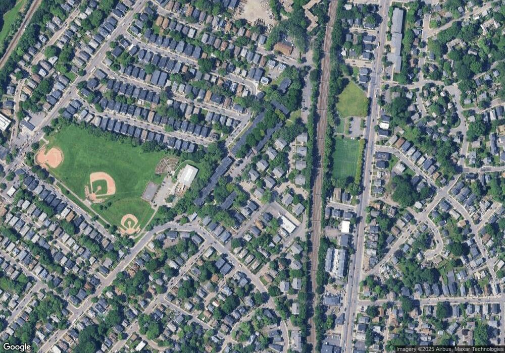
Map
Nearby Homes
- 61 Fawndale Rd
- 375 Hyde Park Ave Unit 3
- 19 Delford St
- 626 South St
- 132 Sycamore St
- 40 Catherine St Unit 2
- 472 Hyde Park Ave Unit 472
- 23 Rowe St Unit 23 Rowe
- 35 Eldridge Rd Unit 209
- 68 Rowe St Unit 3
- 68 Rowe St Unit 2
- 31 Rodman St Unit 2
- 543 Hyde Park Ave Unit 1
- 56 Patten St
- 178 Hyde Park Ave Unit 3
- 3886-3888 Washington St
- 7 Basto Terrace
- 60 Stella Rd
- 167 Poplar St Unit 1
- 11 S Fairview St Unit 2R
- 45 Harrison St Unit F
- 45 Harrison St Unit E
- 45 Harrison St Unit D
- 45 Harrison St Unit C
- 45 Harrison St Unit B
- 43 Harrison St Unit F
- 43 Harrison St Unit E
- 43 Harrison St Unit D
- 43 Harrison St Unit C
- 43 Harrison St Unit B
- 43 Harrison St Unit A
- 43 Harrison St Unit B 43
- 27 Harrison St Unit F
- 27 Harrison St Unit E
- 27 Harrison St Unit D
- 27 Harrison St Unit C
- 27 Harrison St Unit B
- 27 Harrison St Unit A
- 27 Harrison St Unit 6
- 27 Harrison St Unit 27B
Your Personal Tour Guide
Ask me questions while you tour the home.