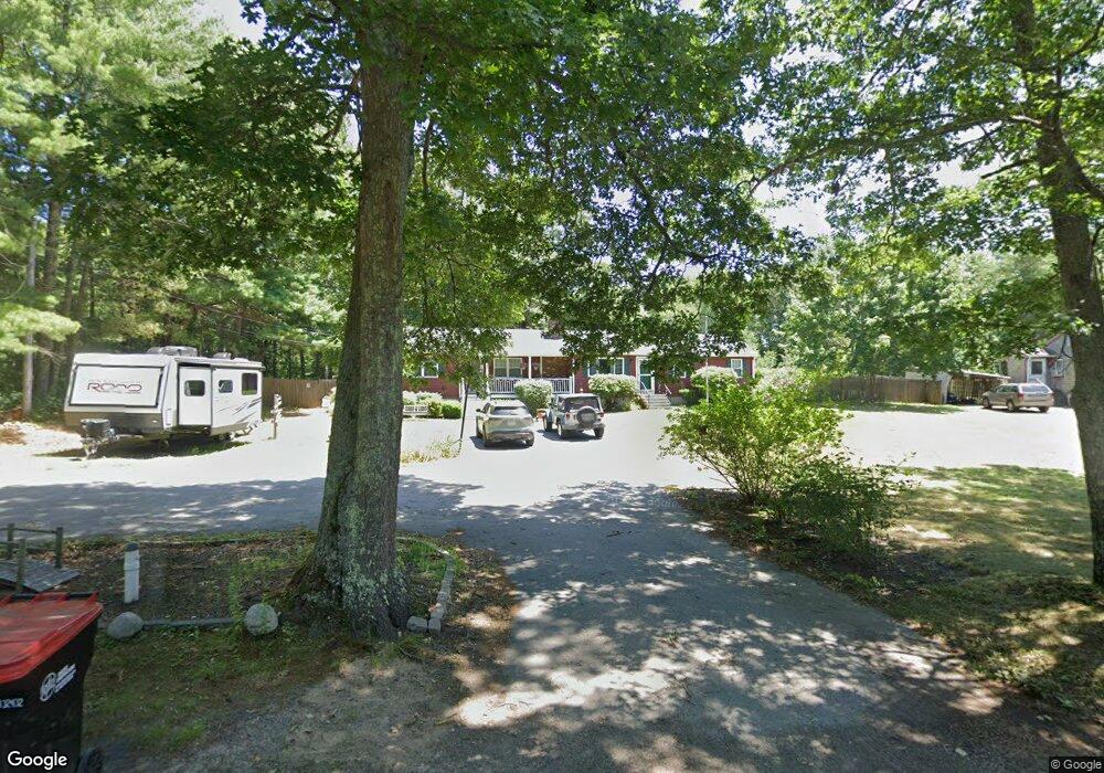
45 Hawthorne St Hanson, MA 02341
Estimated Value: $614,000 - $705,000
4
Beds
2
Baths
1,877
Sq Ft
$339/Sq Ft
Est. Value
About This Home
This home is located at 45 Hawthorne St, Hanson, MA 02341 and is currently estimated at $637,200, approximately $339 per square foot. 45 Hawthorne St is a home located in Plymouth County.
Ownership History
Date
Name
Owned For
Owner Type
Purchase Details
Closed on
Jan 31, 2007
Sold by
Sourdiffe John C and Sourdiffe Susan I
Bought by
Lewis Steven J and Lewis Rhonda Jo
Current Estimated Value
Home Financials for this Owner
Home Financials are based on the most recent Mortgage that was taken out on this home.
Original Mortgage
$266,400
Interest Rate
6.16%
Mortgage Type
Purchase Money Mortgage
Create a Home Valuation Report for This Property
The Home Valuation Report is an in-depth analysis detailing your home's value as well as a comparison with similar homes in the area
Home Values in the Area
Average Home Value in this Area
Purchase History
| Date | Buyer | Sale Price | Title Company |
|---|---|---|---|
| Lewis Steven J | $333,000 | -- |
Source: Public Records
Mortgage History
| Date | Status | Borrower | Loan Amount |
|---|---|---|---|
| Open | Lewis Steven J | $263,000 | |
| Closed | Lewis Steven J | $266,400 |
Source: Public Records
Tax History Compared to Growth
Tax History
| Year | Tax Paid | Tax Assessment Tax Assessment Total Assessment is a certain percentage of the fair market value that is determined by local assessors to be the total taxable value of land and additions on the property. | Land | Improvement |
|---|---|---|---|---|
| 2025 | $7,196 | $537,800 | $163,000 | $374,800 |
| 2024 | $6,988 | $522,300 | $158,300 | $364,000 |
| 2023 | $6,679 | $471,000 | $158,300 | $312,700 |
| 2022 | $6,463 | $428,300 | $143,900 | $284,400 |
| 2021 | $5,641 | $376,000 | $138,400 | $237,600 |
| 2020 | $5,598 | $366,600 | $133,700 | $232,900 |
| 2019 | $4,904 | $328,500 | $116,500 | $212,000 |
| 2018 | $4,489 | $316,000 | $112,000 | $204,000 |
| 2017 | $4,490 | $303,700 | $106,700 | $197,000 |
| 2016 | $4,887 | $295,300 | $106,700 | $188,600 |
| 2015 | $4,628 | $290,700 | $106,700 | $184,000 |
Source: Public Records
Map
Nearby Homes
- 688 Monponsett St
- 59 Hawthorne St
- 33 Hawthorne St
- 50 Hawthorne St
- 75 Hawthorne St
- 21 Hawthorne St
- 70 Hawthorne St
- 36 Hawthorne St
- 79 Hawthorne St
- 647 Monponsett St
- 17 Hill Rd
- 10 Hawthorne St
- 10 Hawthorne St Unit 1
- 18 Briggs St
- 724 Monponsett St
- 48 Briggs St
- 42 Hawthorne St
- 733 Monponsett St
- 612 Monponsett St
- 25 Hill Rd