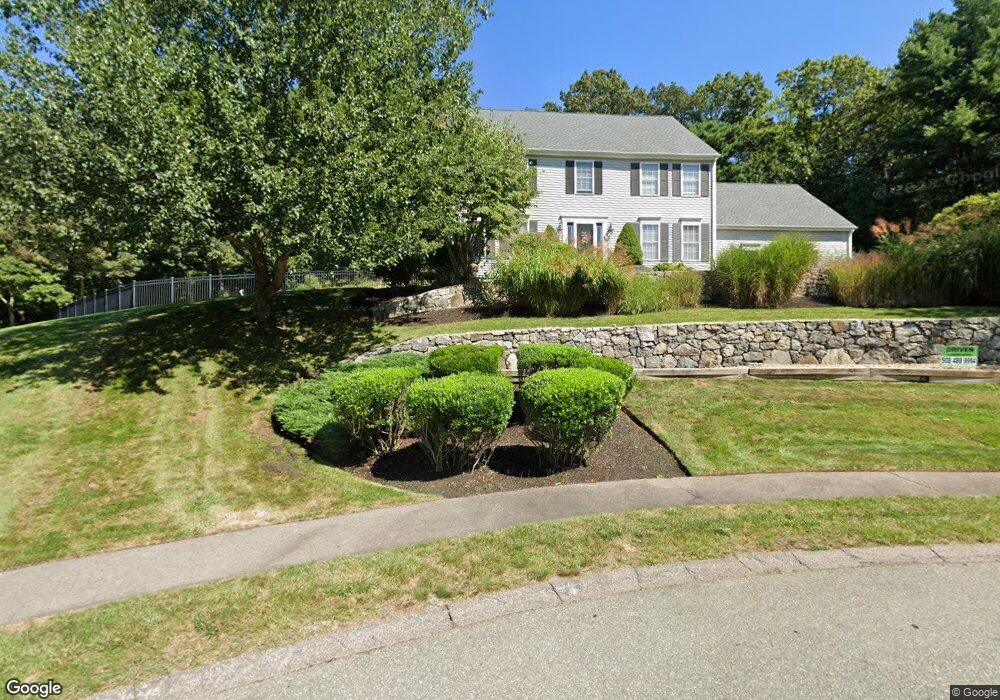
45 High Point Way Wrentham, MA 02093
Estimated Value: $786,000 - $894,000
4
Beds
3
Baths
2,128
Sq Ft
$394/Sq Ft
Est. Value
About This Home
This home is located at 45 High Point Way, Wrentham, MA 02093 and is currently estimated at $838,889, approximately $394 per square foot. 45 High Point Way is a home located in Norfolk County with nearby schools including Delaney Elementary School, Charles E Roderick, and The Sage School.
Ownership History
Date
Name
Owned For
Owner Type
Purchase Details
Closed on
Jun 14, 2023
Sold by
Balestra Albert A and Balestra Janet E
Bought by
A A & Janet Balestra Ft and Balestra
Current Estimated Value
Purchase Details
Closed on
Jan 2, 2004
Sold by
Trumbore Mark W and Trumbore Lynette
Bought by
Balestra Janet E and Balestra Albert A
Home Financials for this Owner
Home Financials are based on the most recent Mortgage that was taken out on this home.
Original Mortgage
$250,000
Interest Rate
5.86%
Mortgage Type
Purchase Money Mortgage
Create a Home Valuation Report for This Property
The Home Valuation Report is an in-depth analysis detailing your home's value as well as a comparison with similar homes in the area
Home Values in the Area
Average Home Value in this Area
Purchase History
| Date | Buyer | Sale Price | Title Company |
|---|---|---|---|
| A A & Janet Balestra Ft | -- | None Available | |
| Balestra Janet E | $458,000 | -- |
Source: Public Records
Mortgage History
| Date | Status | Borrower | Loan Amount |
|---|---|---|---|
| Previous Owner | Balestra Janet E | $238,000 | |
| Previous Owner | Balestra Janet E | $238,500 | |
| Previous Owner | Balestra Janet E | $250,000 | |
| Previous Owner | Balestra Janet E | $25,000 |
Source: Public Records
Tax History Compared to Growth
Tax History
| Year | Tax Paid | Tax Assessment Tax Assessment Total Assessment is a certain percentage of the fair market value that is determined by local assessors to be the total taxable value of land and additions on the property. | Land | Improvement |
|---|---|---|---|---|
| 2025 | $8,727 | $753,000 | $344,000 | $409,000 |
| 2024 | $8,410 | $700,800 | $344,000 | $356,800 |
| 2023 | $8,074 | $639,800 | $314,300 | $325,500 |
| 2022 | $7,307 | $534,500 | $246,100 | $288,400 |
| 2021 | $7,350 | $522,400 | $256,900 | $265,500 |
| 2020 | $7,401 | $519,400 | $233,500 | $285,900 |
| 2019 | $7,383 | $522,900 | $250,000 | $272,900 |
| 2018 | $6,976 | $489,900 | $249,200 | $240,700 |
| 2017 | $6,821 | $478,700 | $244,400 | $234,300 |
| 2016 | $6,709 | $469,800 | $237,300 | $232,500 |
| 2015 | $6,143 | $410,100 | $197,900 | $212,200 |
| 2014 | $6,078 | $397,000 | $190,400 | $206,600 |
Source: Public Records
Map
Nearby Homes
- 483 Thurston St
- 120 Hawes St
- 65 Pond St
- 80 Mill St
- 362 East St
- 11 Goodwin Dr
- 319 Taunton St
- 25 Foxboro Rd
- 1 Lorraine Metcalf Dr
- 270 Dedham St
- 406 South St
- 9 Oak Dr
- 16 Treasure Island Rd
- 10 Nature View Dr
- 15 Nature View Dr
- 11 Orchard Place Unit 11
- 14 Baker St
- 160 Washington St Unit 36
- 11 Earle Stewart Ln
- Lot 1 - Blueberry 2 Car Plan at King Philip Estates
- 35 High Point Way
- 30 High Point Way
- 16 Old Quarry Rd
- 14 Old Quarry Rd
- 24 Old Quarry Rd
- 35 Old Quarry Rd
- 25 High Point Way
- 25 Old Quarry Rd
- 20 High Point Way
- 15 High Point Way
- 40 Old Quarry Rd
- 50 Old Quarry Rd
- 15 Old Quarry Rd
- 10 Granite Way
- 10 Oak Ridge Dr
- 10 Oak Ridge Dr Unit 1
- 20 Oak Ridge Dr
- 30 Old Quarry Rd
- 15 Granite Way
- 20 Old Quarry Rd