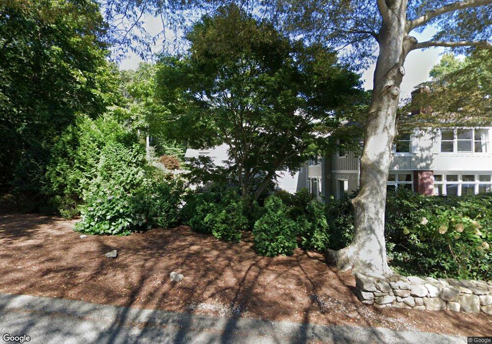
45 Highfield Dr Unit 4 Falmouth, MA 02540
Falmouth Village NeighborhoodEstimated Value: $787,021 - $999,000
2
Beds
3
Baths
2,422
Sq Ft
$370/Sq Ft
Est. Value
About This Home
This home is located at 45 Highfield Dr Unit 4, Falmouth, MA 02540 and is currently estimated at $896,005, approximately $369 per square foot. 45 Highfield Dr Unit 4 is a home located in Barnstable County with nearby schools including Mullen-Hall School, Lawrence School, and Morse Pond School.
Ownership History
Date
Name
Owned For
Owner Type
Purchase Details
Closed on
Jan 23, 2017
Sold by
Oconnor Brigid M and Oconnor Bridgid M
Bought by
Bridgid M Oconnor Ret
Current Estimated Value
Purchase Details
Closed on
Jun 5, 2009
Sold by
Lieb Ronnie
Bought by
Oconnor Bridgid M
Home Financials for this Owner
Home Financials are based on the most recent Mortgage that was taken out on this home.
Original Mortgage
$306,000
Interest Rate
4.83%
Mortgage Type
Purchase Money Mortgage
Purchase Details
Closed on
May 28, 1992
Sold by
Recoll Mgmt Corp
Bought by
Lieb Ronnie
Purchase Details
Closed on
May 20, 1992
Sold by
Rawson Adell R
Bought by
Recoll Mgmt Corp
Create a Home Valuation Report for This Property
The Home Valuation Report is an in-depth analysis detailing your home's value as well as a comparison with similar homes in the area
Home Values in the Area
Average Home Value in this Area
Purchase History
| Date | Buyer | Sale Price | Title Company |
|---|---|---|---|
| Bridgid M Oconnor Ret | -- | -- | |
| Oconnor Bridgid M | $340,000 | -- | |
| Lieb Ronnie | $78,000 | -- | |
| Recoll Mgmt Corp | $75,000 | -- |
Source: Public Records
Mortgage History
| Date | Status | Borrower | Loan Amount |
|---|---|---|---|
| Previous Owner | Oconnor Bridgid M | $306,000 |
Source: Public Records
Tax History Compared to Growth
Tax History
| Year | Tax Paid | Tax Assessment Tax Assessment Total Assessment is a certain percentage of the fair market value that is determined by local assessors to be the total taxable value of land and additions on the property. | Land | Improvement |
|---|---|---|---|---|
| 2025 | $3,242 | $552,300 | $0 | $552,300 |
| 2024 | $3,236 | $515,300 | $0 | $515,300 |
| 2023 | $3,110 | $449,400 | $0 | $449,400 |
| 2022 | $3,405 | $423,000 | $0 | $423,000 |
| 2021 | $3,089 | $363,400 | $0 | $363,400 |
| 2020 | $3,122 | $363,400 | $0 | $363,400 |
| 2019 | $2,999 | $350,300 | $0 | $350,300 |
| 2018 | $2,922 | $332,400 | $0 | $332,400 |
| 2017 | $2,916 | $341,900 | $0 | $341,900 |
| 2016 | $2,720 | $325,000 | $0 | $325,000 |
| 2015 | $2,507 | $306,100 | $0 | $306,100 |
| 2014 | $2,557 | $313,700 | $0 | $313,700 |
Source: Public Records
Map
Nearby Homes
- 13 Two Ponds Rd
- 63 Two Ponds Rd
- 33 Oakwood Ave
- 30 Katherine Lee Bates Rd
- 71 Main St
- 98 Main St
- 98 Main St Unit 1
- 57 Meadow Ln
- 480 Main St Unit 1
- 110 Dillingham Ave Unit 224
- 110 Dillingham Ave Unit 322
- 86 Ships Watch
- 354 Gifford St Unit 6
- 354 Gifford St Unit 5
- 354 Gifford St Unit 2
- 38 Landfall Unit 38
- 38 Landfall
- 10 Shanks Pond Rd
- 58 Landfall
- 45 Haynes Ave
- 45 Highfield Dr Unit 6
- 45 Highfield Dr Unit 5
- 45 Highfield Dr Unit 3
- 45 Highfield Dr Unit 2
- 45 Highfield Dr Unit 24
- 45 Highfield Dr
- 37 Highfield Dr
- 44 Highfield Dr
- 33 Highfield Dr
- 50 Highfield Dr
- 56 Highfield Dr
- 58 Highfield Dr
- 50 Depot Ave
- 60 Depot Ave
- 59 Depot Ave
- 66 Depot Ave
- 54 & 0 Depot Ave
- 54 Depot Ave
- 43 Depot Ave
- 38 Greengate Rd