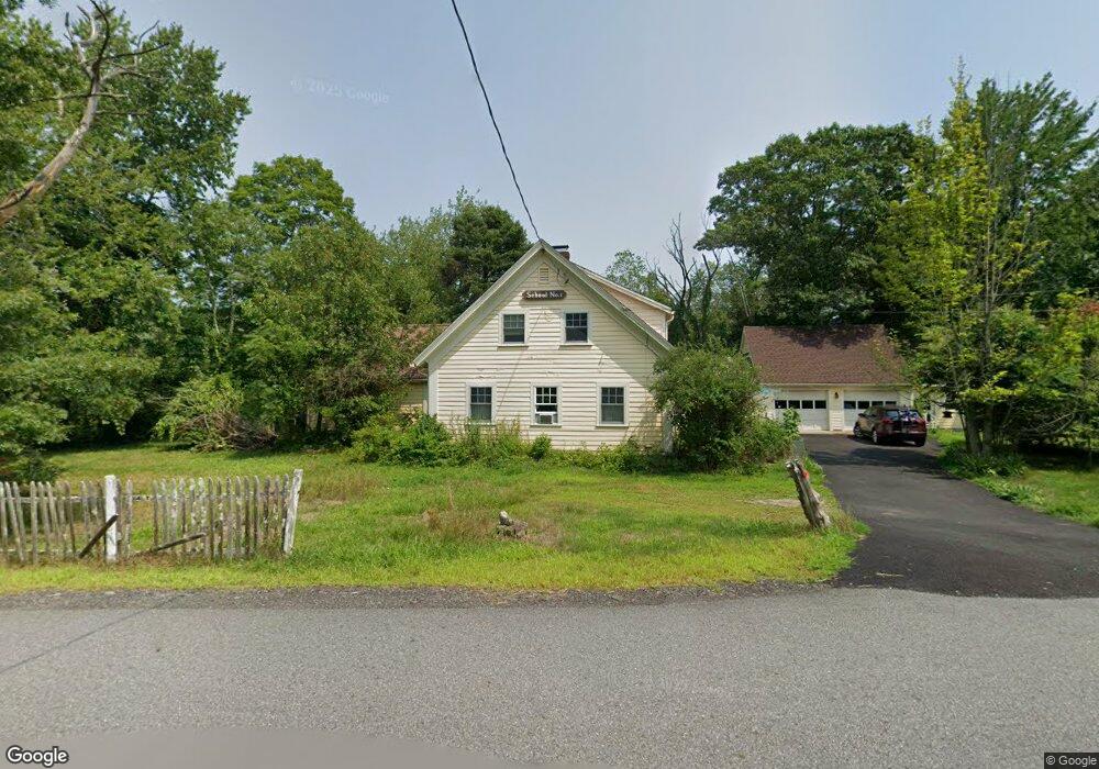
45 Hill Rd Boxborough, MA 01719
Estimated Value: $773,344 - $969,000
4
Beds
2
Baths
1,894
Sq Ft
$447/Sq Ft
Est. Value
About This Home
This home is located at 45 Hill Rd, Boxborough, MA 01719 and is currently estimated at $847,336, approximately $447 per square foot. 45 Hill Rd is a home located in Middlesex County with nearby schools including Acton-Boxborough Regional High School.
Ownership History
Date
Name
Owned For
Owner Type
Purchase Details
Closed on
Aug 18, 2004
Sold by
Ashton Corinne and Ashton Mellard J
Bought by
Matchett Cynthia G and Matchett Michael E
Current Estimated Value
Home Financials for this Owner
Home Financials are based on the most recent Mortgage that was taken out on this home.
Original Mortgage
$324,000
Outstanding Balance
$160,987
Interest Rate
6.03%
Mortgage Type
Purchase Money Mortgage
Estimated Equity
$686,349
Purchase Details
Closed on
Oct 31, 1991
Sold by
Huntley Joan and Radlo Charles G
Bought by
Ashton Corinne J and Ashton Mellard J
Home Financials for this Owner
Home Financials are based on the most recent Mortgage that was taken out on this home.
Original Mortgage
$132,000
Interest Rate
8.9%
Mortgage Type
Purchase Money Mortgage
Create a Home Valuation Report for This Property
The Home Valuation Report is an in-depth analysis detailing your home's value as well as a comparison with similar homes in the area
Home Values in the Area
Average Home Value in this Area
Purchase History
| Date | Buyer | Sale Price | Title Company |
|---|---|---|---|
| Matchett Cynthia G | $405,000 | -- | |
| Ashton Corinne J | $165,000 | -- |
Source: Public Records
Mortgage History
| Date | Status | Borrower | Loan Amount |
|---|---|---|---|
| Open | Matchett Cynthia G | $324,000 | |
| Previous Owner | Ashton Corinne J | $220,000 | |
| Previous Owner | Ashton Corinne J | $132,000 | |
| Previous Owner | Ashton Corinne J | $132,000 |
Source: Public Records
Tax History
| Year | Tax Paid | Tax Assessment Tax Assessment Total Assessment is a certain percentage of the fair market value that is determined by local assessors to be the total taxable value of land and additions on the property. | Land | Improvement |
|---|---|---|---|---|
| 2025 | $9,559 | $631,400 | $316,300 | $315,100 |
| 2024 | $9,135 | $609,400 | $304,300 | $305,100 |
| 2023 | $8,250 | $531,600 | $251,400 | $280,200 |
| 2022 | $8,367 | $480,300 | $251,400 | $228,900 |
| 2020 | $7,445 | $445,300 | $251,400 | $193,900 |
| 2019 | $296 | $445,300 | $251,400 | $193,900 |
| 2018 | $6,887 | $418,900 | $240,000 | $178,900 |
| 2017 | $7,111 | $423,000 | $240,000 | $183,000 |
| 2016 | $6,747 | $412,400 | $240,000 | $172,400 |
| 2015 | $6,424 | $385,800 | $216,900 | $168,900 |
| 2014 | $6,556 | $370,600 | $210,600 | $160,000 |
Source: Public Records
Map
Nearby Homes
- 53 Swanson Ct Unit 24C
- 50 Spencer Rd Unit 12L
- 15 Spencer Rd Unit 12E
- 220 Swanson Rd Unit 605
- 220 Swanson Rd Unit 606
- 220 Swanson Rd Unit 604
- 79 Old Orchard Ln
- 276 Codman Hill Rd Unit 36A
- 310 Codman Hill Rd Unit 35D
- 20 Lyons Ln Unit 20
- 77 Wheeler Dr Unit 77
- 959 Hill Rd
- 40 Fifers Ln
- 36 Leonard Rd
- 8 Woodchuck Hill Rd
- 13 Pine Hill Way
- 14 Pine Hill Way
- 18 B Pine Hill Way Unit BB
- 4 Old Meadow Ln
- 19 Partridge Hill Rd
- 8 Hill Rd
- 8 Hill Rd
- 42 Cunningham Rd
- 57 Cunningham Rd
- 1300 Massachusetts Ave
- 1233 Mass Ave Unit 5
- 1233 Massachusetts Ave Unit 4
- 1 Paddock Ln Unit 1101
- 1 Paddock Ln
- 1 Paddock Ln Unit 2
- 1 Paddock Ln Unit 1
- 200 Paddock Ln Unit 2302
- 1197 Massachusetts Ave
- 100 Paddock Ln Unit 11302
- 400 Paddock Ln Unit 4308
- 400 Paddock Ln Unit 4206
- 38 Whitcomb Rd
- 187 Hill Rd
- 1145 Massachusetts Ave
- 377 Hill Rd
Your Personal Tour Guide
Ask me questions while you tour the home.