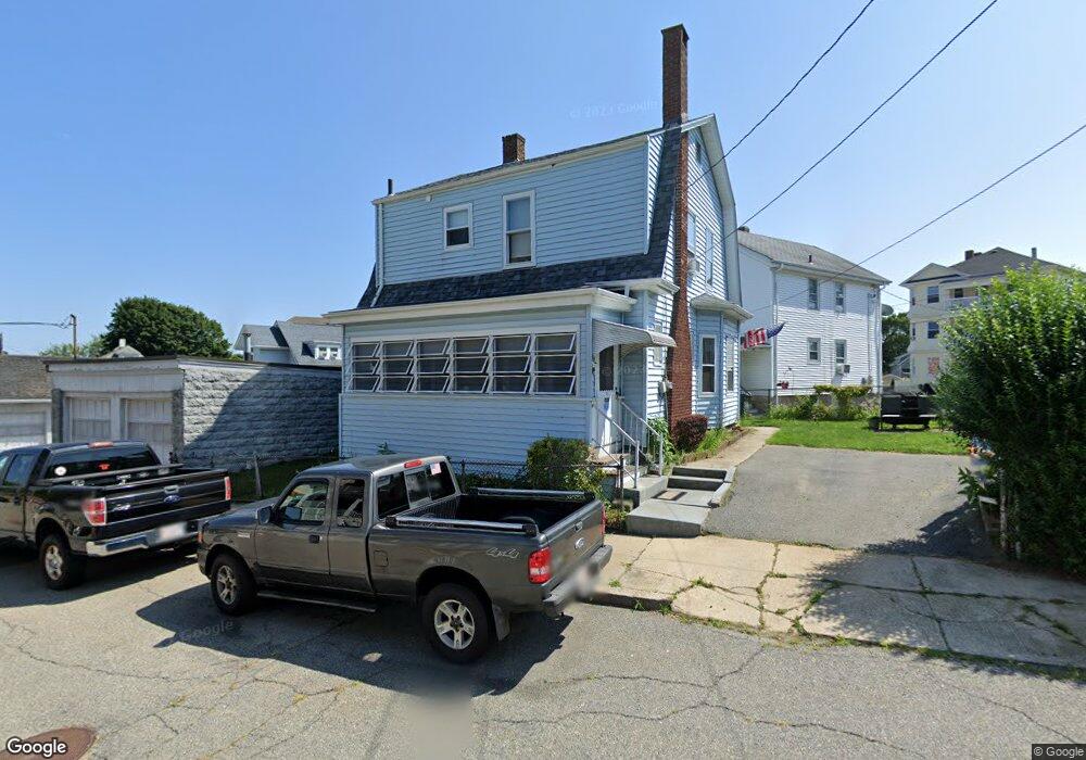
45 Hirst St Fall River, MA 02723
Flint NeighborhoodEstimated Value: $345,000 - $392,000
3
Beds
2
Baths
1,270
Sq Ft
$290/Sq Ft
Est. Value
About This Home
This home is located at 45 Hirst St, Fall River, MA 02723 and is currently estimated at $368,077, approximately $289 per square foot. 45 Hirst St is a home located in Bristol County with nearby schools including Samuel Watson, Talbot Innovation School, and B M C Durfee High School.
Ownership History
Date
Name
Owned For
Owner Type
Purchase Details
Closed on
Mar 30, 1999
Sold by
Morrissette Raymond A and Morrissette Rita L
Bought by
Silva Toni
Current Estimated Value
Home Financials for this Owner
Home Financials are based on the most recent Mortgage that was taken out on this home.
Original Mortgage
$80,000
Interest Rate
6.78%
Mortgage Type
Purchase Money Mortgage
Create a Home Valuation Report for This Property
The Home Valuation Report is an in-depth analysis detailing your home's value as well as a comparison with similar homes in the area
Home Values in the Area
Average Home Value in this Area
Purchase History
| Date | Buyer | Sale Price | Title Company |
|---|---|---|---|
| Silva Toni | $110,000 | -- |
Source: Public Records
Mortgage History
| Date | Status | Borrower | Loan Amount |
|---|---|---|---|
| Open | Silva Toni | $106,000 | |
| Closed | Silva Toni | $100,000 | |
| Closed | Silva Toni | $80,000 |
Source: Public Records
Tax History Compared to Growth
Tax History
| Year | Tax Paid | Tax Assessment Tax Assessment Total Assessment is a certain percentage of the fair market value that is determined by local assessors to be the total taxable value of land and additions on the property. | Land | Improvement |
|---|---|---|---|---|
| 2025 | $3,655 | $319,200 | $122,200 | $197,000 |
| 2024 | $3,436 | $299,000 | $117,600 | $181,400 |
| 2023 | $3,330 | $271,400 | $100,800 | $170,600 |
| 2022 | $2,944 | $233,300 | $91,600 | $141,700 |
| 2021 | $2,852 | $206,200 | $84,800 | $121,400 |
| 2020 | $2,812 | $194,600 | $81,100 | $113,500 |
| 2019 | $2,715 | $186,200 | $77,300 | $108,900 |
| 2018 | $2,572 | $175,900 | $75,800 | $100,100 |
| 2017 | $2,460 | $175,700 | $77,400 | $98,300 |
| 2016 | $2,358 | $173,000 | $80,600 | $92,400 |
| 2015 | $2,224 | $170,000 | $77,600 | $92,400 |
| 2014 | $2,190 | $174,100 | $81,700 | $92,400 |
Source: Public Records
Map
Nearby Homes
- 34 Alsop St
- 125 Angell St
- 37 Eaton St
- 1792 Pleasant St Unit 1808
- 215 Earle St Unit 1
- 219 Earle St Unit 3
- 217 Earle St Unit 2
- 172 Earle St
- 85 Reney St
- 383 Alden St
- 10 Choate St
- 31 Choate St
- 89 Lafayette St
- 529 Eastern Ave
- 1498 Pleasant St
- 152 Alden St
- 71 Cash St
- 178 Thomas St
- 25 Lebanon St Unit C
- 25 Lebanon St Unit D
- 2040 Pleasant St
- 2024 Pleasant St
- 174 Walker St
- 56 Hirst St
- 30 Hirst St
- 170 Walker St
- 91 Roper St
- 71 Roper St
- 62 Hirst St
- 164 Walker St
- 2029 Pleasant St
- 16 Hirst St
- 2019 Pleasant St
- 37 Roper St
- 153 Walker St
- 2039 Pleasant St
- 2039 Pleasant St Unit 3
- 2039 Pleasant St Unit 2
- 154 Walker St
- 2059 Pleasant St