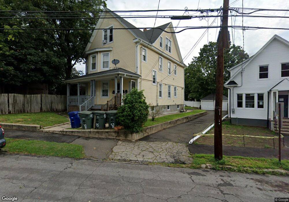
45 Hope St Unit 47 Bridgeport, CT 06605
Black Rock NeighborhoodEstimated Value: $557,000 - $660,000
5
Beds
3
Baths
2,662
Sq Ft
$225/Sq Ft
Est. Value
About This Home
This home is located at 45 Hope St Unit 47, Bridgeport, CT 06605 and is currently estimated at $598,333, approximately $224 per square foot. 45 Hope St Unit 47 is a home located in Fairfield County with nearby schools including Bassick High School, Great Oaks Charter School Bridgeport, and St. Ann Campus - Catholic Academy of Bridgeport.
Ownership History
Date
Name
Owned For
Owner Type
Purchase Details
Closed on
Sep 21, 2007
Sold by
Jp Morgan Chase Bank N
Bought by
Ram Yaron
Current Estimated Value
Purchase Details
Closed on
Mar 25, 1998
Sold by
Sovary William E
Bought by
Montanez Victor
Home Financials for this Owner
Home Financials are based on the most recent Mortgage that was taken out on this home.
Original Mortgage
$98,900
Interest Rate
6.96%
Mortgage Type
Unknown
Create a Home Valuation Report for This Property
The Home Valuation Report is an in-depth analysis detailing your home's value as well as a comparison with similar homes in the area
Home Values in the Area
Average Home Value in this Area
Purchase History
| Date | Buyer | Sale Price | Title Company |
|---|---|---|---|
| Ram Yaron | $171,000 | -- | |
| Ram Yaron | $171,000 | -- | |
| Montanez Victor | $18,316 | -- | |
| Montanez Victor | $18,316 | -- | |
| Montanez Victor | $18,316 | -- |
Source: Public Records
Mortgage History
| Date | Status | Borrower | Loan Amount |
|---|---|---|---|
| Previous Owner | Montanez Victor | $276,000 | |
| Previous Owner | Montanez Victor | $212,250 | |
| Previous Owner | Montanez Victor | $98,900 |
Source: Public Records
Tax History Compared to Growth
Tax History
| Year | Tax Paid | Tax Assessment Tax Assessment Total Assessment is a certain percentage of the fair market value that is determined by local assessors to be the total taxable value of land and additions on the property. | Land | Improvement |
|---|---|---|---|---|
| 2025 | $8,307 | $191,185 | $79,000 | $112,185 |
| 2024 | $8,307 | $191,185 | $79,000 | $112,185 |
| 2023 | $8,307 | $191,185 | $79,000 | $112,185 |
| 2022 | $8,744 | $201,247 | $79,000 | $122,247 |
| 2021 | $9,349 | $215,160 | $79,000 | $136,160 |
| 2020 | $7,853 | $145,460 | $39,890 | $105,570 |
| 2019 | $7,853 | $145,460 | $39,890 | $105,570 |
| 2018 | $7,909 | $145,460 | $39,890 | $105,570 |
| 2017 | $7,909 | $145,460 | $39,890 | $105,570 |
| 2016 | $7,909 | $145,460 | $39,890 | $105,570 |
| 2015 | $7,357 | $174,340 | $41,030 | $133,310 |
| 2014 | $7,357 | $174,340 | $41,030 | $133,310 |
Source: Public Records
Map
Nearby Homes
- 188 Monroe St Unit 190
- 82 Waldorf Ave
- 37 Rowsley St Unit 6
- 167 Scofield Ave
- 26 Rowsley St Unit 3
- 25 Whittier St
- 31 Whittier St
- 554 Brewster St Unit 4
- 317 Brewster St
- 855 Brewster St Unit 857
- 39 Jetland Place Unit 41
- 75 Homestead Ave Unit 77
- 165 Bennett St
- 105 Fox St Unit 107
- 95 Bedford Ave
- 85 Ash St
- 3250 Fairfield Ave Unit 302
- 118 Berwick Ave
- 130 Brentwood Ave
- 145 Brentwood Ave
- 85 Hope St Unit 3
- 49 Hope St
- 84 Monroe St
- 94-100 Monroe St
- 61 Hope St
- 94 Monroe St Unit 100
- 30 Hope St
- 74 Monroe St
- 40 Hope St
- 259 Harbor Ave
- 106 Monroe St Unit 110
- 106 Monroe St Unit 3
- 83 Hope St Unit Black Rock - 1st flo
- 83 Hope St
- 110 Monroe St Unit 3rd floor
- 76 Monroe St
- 114 Monroe St
- 20 Hope St
- 18 Hope St Unit 22
- 81 Hope St Unit 83