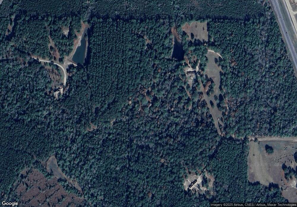
45 Howell Rd Hattiesburg, MS 39401
Estimated Value: $295,000 - $398,824
--
Bed
1
Bath
2,834
Sq Ft
$121/Sq Ft
Est. Value
About This Home
This home is located at 45 Howell Rd, Hattiesburg, MS 39401 and is currently estimated at $343,608, approximately $121 per square foot. 45 Howell Rd is a home located in Forrest County with nearby schools including South Forrest Attendance Center and North Forrest High School.
Ownership History
Date
Name
Owned For
Owner Type
Purchase Details
Closed on
Jan 12, 2021
Sold by
Mcphail Michael W and Mcphail Angela F
Bought by
Mcphail Michael W and Mcphail Angela F
Current Estimated Value
Purchase Details
Closed on
Aug 29, 2018
Bought by
Mcphail Michael W and Mcphail Angela F
Home Financials for this Owner
Home Financials are based on the most recent Mortgage that was taken out on this home.
Original Mortgage
$100,000
Interest Rate
4.51%
Create a Home Valuation Report for This Property
The Home Valuation Report is an in-depth analysis detailing your home's value as well as a comparison with similar homes in the area
Home Values in the Area
Average Home Value in this Area
Purchase History
| Date | Buyer | Sale Price | Title Company |
|---|---|---|---|
| Mcphail Michael W | -- | -- | |
| Mcphail Michael W | -- | -- |
Source: Public Records
Mortgage History
| Date | Status | Borrower | Loan Amount |
|---|---|---|---|
| Previous Owner | Mcphail Michael W | $100,000 | |
| Previous Owner | Mcphail Michael W | -- |
Source: Public Records
Tax History Compared to Growth
Tax History
| Year | Tax Paid | Tax Assessment Tax Assessment Total Assessment is a certain percentage of the fair market value that is determined by local assessors to be the total taxable value of land and additions on the property. | Land | Improvement |
|---|---|---|---|---|
| 2024 | $1,273 | $17,713 | $0 | $0 |
| 2023 | $1,273 | $168,400 | $0 | $0 |
| 2022 | $1,242 | $17,744 | $0 | $0 |
| 2021 | $1,344 | $18,585 | $0 | $0 |
| 2020 | $1,903 | $18,032 | $0 | $0 |
| 2019 | $1,283 | $18,076 | $0 | $0 |
| 2018 | $1,903 | $18,113 | $0 | $0 |
| 2017 | $1,898 | $18,073 | $0 | $0 |
| 2016 | $1,754 | $16,793 | $0 | $0 |
| 2015 | -- | $166,684 | $0 | $0 |
| 2014 | -- | $16,602 | $0 | $0 |
Source: Public Records
Map
Nearby Homes
- 542 Southgate Rd
- 522 Southgate Rd
- 40 Wandering Oaks Ln
- 6 Wandering Oaks Ln
- 00
- 51 Rock Rd
- 191 Old Highway 49 W
- 22 Bedford Forrest Ln
- 000 Rogers Rd
- 425 Patrick Rd
- 5 Old Hwy 49 W
- 00 Moore Rd
- NHN Larry Goff Rd
- 0 Titus Stewart Rd Unit LotWP001
- 7 AC U S 49
- 1003 Browns Bridge Rd
- 16 Ford Rd
- 718 Camp Dantzler Rd
- 1425 Browns Bridge Rd
- 4883 U S 49
- 1073 Howell Rd
- 65 Howell Rd
- 380 Anderson Rd
- 380 Anderson Rd
- 380 Anderson Rd
- 5 Howell Rd
- 3773 U S Highway 49
- 302 Anderson Rd
- 308 Anderson Rd
- 296 Anderson
- 325 Anderson Rd
- 123 Woodland Rd
- 129 Woodland Rd
- 2.61 Acres Anderson Rd
- 00 Ollie Williams Rd
- 117 Woodland Rd
- 139 Woodland Rd
- 3971 U S Highway 49
- 551 Southgate Rd
- 551 Southgate Rd
