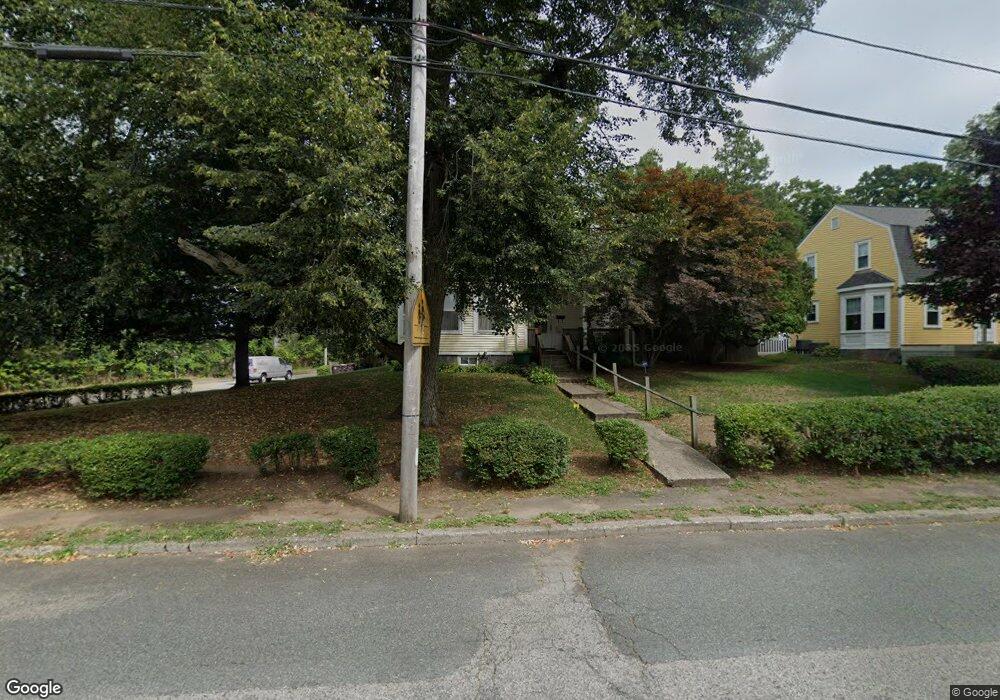
45 Hunt St Weymouth, MA 02188
Weymouth Landing NeighborhoodEstimated Value: $646,116 - $726,000
--
Bed
2
Baths
2,059
Sq Ft
$331/Sq Ft
Est. Value
About This Home
This home is located at 45 Hunt St, Weymouth, MA 02188 and is currently estimated at $682,029, approximately $331 per square foot. 45 Hunt St is a home located in Norfolk County with nearby schools including Frederick C Murphy, Abigail Adams Middle School, and Weymouth Middle School Chapman.
Ownership History
Date
Name
Owned For
Owner Type
Purchase Details
Closed on
Oct 8, 2015
Sold by
Fiore Edith W
Bought by
Keller Roger P and Keller Fabiola P
Current Estimated Value
Purchase Details
Closed on
Aug 16, 2001
Sold by
Kaminski Frederick W
Bought by
Keller Roger P and Keller Fabiola P
Home Financials for this Owner
Home Financials are based on the most recent Mortgage that was taken out on this home.
Original Mortgage
$140,000
Interest Rate
7.16%
Mortgage Type
Purchase Money Mortgage
Purchase Details
Closed on
Oct 21, 1991
Sold by
Bjorkman Debra
Bought by
Kaminski Frederick W
Home Financials for this Owner
Home Financials are based on the most recent Mortgage that was taken out on this home.
Original Mortgage
$75,000
Interest Rate
9.06%
Mortgage Type
Purchase Money Mortgage
Create a Home Valuation Report for This Property
The Home Valuation Report is an in-depth analysis detailing your home's value as well as a comparison with similar homes in the area
Home Values in the Area
Average Home Value in this Area
Purchase History
| Date | Buyer | Sale Price | Title Company |
|---|---|---|---|
| Keller Roger P | -- | -- | |
| Keller Roger P | $287,000 | -- | |
| Kaminski Frederick W | $143,000 | -- |
Source: Public Records
Mortgage History
| Date | Status | Borrower | Loan Amount |
|---|---|---|---|
| Previous Owner | Keller Roger P | $140,000 | |
| Previous Owner | Kaminski Frederick W | $55,500 | |
| Previous Owner | Kaminski Frederick W | $75,000 | |
| Previous Owner | Kaminski Frederick W | $90,000 |
Source: Public Records
Tax History Compared to Growth
Tax History
| Year | Tax Paid | Tax Assessment Tax Assessment Total Assessment is a certain percentage of the fair market value that is determined by local assessors to be the total taxable value of land and additions on the property. | Land | Improvement |
|---|---|---|---|---|
| 2025 | $5,952 | $589,300 | $264,100 | $325,200 |
| 2024 | $5,764 | $561,200 | $251,500 | $309,700 |
| 2023 | $5,699 | $545,400 | $232,900 | $312,500 |
| 2022 | $5,564 | $485,500 | $215,600 | $269,900 |
| 2021 | $5,267 | $448,600 | $215,600 | $233,000 |
| 2020 | $4,822 | $404,500 | $215,600 | $188,900 |
| 2019 | $4,706 | $388,300 | $207,400 | $180,900 |
| 2018 | $4,668 | $373,400 | $205,700 | $167,700 |
| 2017 | $4,471 | $349,000 | $195,900 | $153,100 |
| 2016 | $4,297 | $335,700 | $188,400 | $147,300 |
| 2015 | $4,160 | $322,500 | $188,400 | $134,100 |
| 2014 | $3,986 | $299,700 | $175,300 | $124,400 |
Source: Public Records
Map
Nearby Homes
- 19 Common St
- 16 Lindbergh Ave
- 23-25 Lindbergh Ave
- 15 Summer St
- 114 Broad St Unit D
- 114 Broad St Unit C
- 33 Congress St
- 19 Vine St Unit 4
- 11 Richmond St
- 9 Vine St Unit 1
- 25 Richmond St
- 11 Thayer Ave
- 122 Washington St Unit 22
- 28 Webb St
- 17 Worster Terrace
- 5 Judson Rd
- 54 Federal St
- 36 Brookside Rd
- 24 Briarwood Trail
- 286 Broad St
- 39 Hunt St
- 42 Stetson St Unit 46
- 42-46 Stetson St
- 33 Hunt St
- 204 Front St
- 204 Front St Unit 2
- 11 Hart Ave
- 11 Hart Ave Unit n/a
- 36 Common St
- 193 Front St
- 210 Front St Unit 212
- 25 Hunt St Unit 27
- 32 Common St
- 14 Hart Ave
- 86 Kingman St
- 4 Hart Ave
- 214 Front St
- 36 Stetson St
- 183 Front St Unit 3
- 183 Front St Unit 1