45 John Sisson Rd Little Compton, RI 02837
Estimated Value: $1,134,000 - $2,396,719
Studio
--
Bath
--
Sq Ft
92,347
Sq Ft Lot
About This Home
This home is located at 45 John Sisson Rd, Little Compton, RI 02837 and is currently estimated at $1,794,240. 45 John Sisson Rd is a home located in Newport County with nearby schools including Wilbur & McMahon School.
Ownership History
Date
Name
Owned For
Owner Type
Purchase Details
Closed on
Apr 12, 1995
Sold by
Cotta Daniel David and Cotta Patricia
Bought by
Harrington Michael J and Harrington Maureen
Current Estimated Value
Home Financials for this Owner
Home Financials are based on the most recent Mortgage that was taken out on this home.
Original Mortgage
$160,000
Interest Rate
8.49%
Create a Home Valuation Report for This Property
The Home Valuation Report is an in-depth analysis detailing your home's value as well as a comparison with similar homes in the area
Home Values in the Area
Average Home Value in this Area
Purchase History
| Date | Buyer | Sale Price | Title Company |
|---|---|---|---|
| Harrington Michael J | $90,000 | -- |
Source: Public Records
Mortgage History
| Date | Status | Borrower | Loan Amount |
|---|---|---|---|
| Open | Harrington Michael J | $160,000 | |
| Closed | Harrington Michael J | $160,000 |
Source: Public Records
Tax History
| Year | Tax Paid | Tax Assessment Tax Assessment Total Assessment is a certain percentage of the fair market value that is determined by local assessors to be the total taxable value of land and additions on the property. | Land | Improvement |
|---|---|---|---|---|
| 2025 | $9,559 | $1,995,700 | $284,700 | $1,711,000 |
| 2024 | $9,027 | $1,776,900 | $247,400 | $1,529,500 |
| 2023 | $8,813 | $1,776,900 | $247,400 | $1,529,500 |
| 2022 | $8,707 | $1,776,900 | $247,400 | $1,529,500 |
| 2021 | $10,439 | $1,728,300 | $207,300 | $1,521,000 |
| 2020 | $10,353 | $1,728,300 | $207,300 | $1,521,000 |
| 2019 | $10,249 | $1,728,300 | $207,300 | $1,521,000 |
| 2018 | $10,652 | $1,787,300 | $207,300 | $1,580,000 |
| 2016 | $10,134 | $1,787,300 | $207,300 | $1,580,000 |
| 2015 | $10,207 | $1,775,100 | $188,800 | $1,586,300 |
| 2014 | $10,012 | $1,775,100 | $188,800 | $1,586,300 |
Source: Public Records
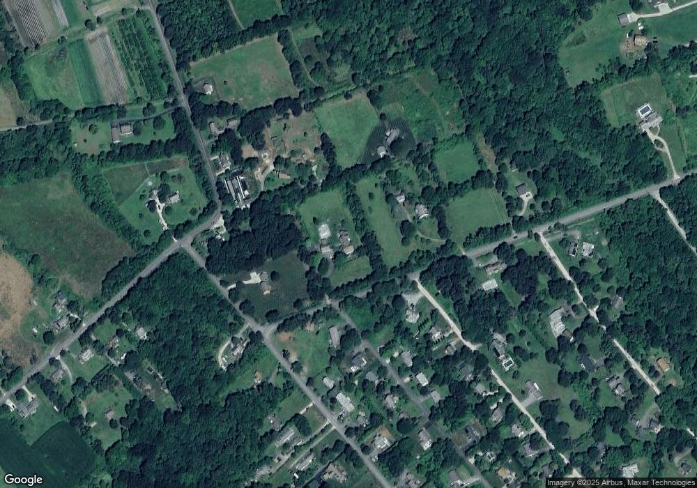
Map
Nearby Homes
- 128 Maple Ave
- 89 S Shore Rd
- 141 S Of Commons Rd
- 30 Indian Rd
- 49 Ocean Dr
- 138 Willow Ave
- 0 Willow Ave
- 505 Long Hwy
- 255 John Dyer Rd
- 38 Old Bull Ln
- 141 Peckham Rd
- 441 W Main Rd
- 245 John Dyer Rd
- 180 W Main Rd
- 140I Long Hwy
- 140 Long Hwy
- 1 Puddingstone Cir
- 17 Ferolbink Way
- 116 Amy Hart Path
- 17 Amy Hart Path
Your Personal Tour Guide
Ask me questions while you tour the home.