45 Joy Cir Camdenton, MI 65020
Estimated Value: $347,000 - $420,000
--
Bed
2
Baths
1,494
Sq Ft
$256/Sq Ft
Est. Value
About This Home
This home is located at 45 Joy Cir, Camdenton, MI 65020 and is currently estimated at $382,107, approximately $255 per square foot. 45 Joy Cir is a home located in Camden County with nearby schools including Camdenton High School.
Ownership History
Date
Name
Owned For
Owner Type
Purchase Details
Closed on
Jul 14, 2023
Sold by
Patterson Ronald L and Patterson Linda K
Bought by
Jjt Revocable Trust and Tegethoff
Current Estimated Value
Purchase Details
Closed on
Nov 12, 2021
Sold by
Folks Eric and Folks Crystal
Bought by
Patterson Robert L and Patterson Marsha L
Home Financials for this Owner
Home Financials are based on the most recent Mortgage that was taken out on this home.
Original Mortgage
$324,900
Interest Rate
3.07%
Mortgage Type
Construction
Purchase Details
Closed on
Aug 29, 2012
Bought by
Folks Eric
Create a Home Valuation Report for This Property
The Home Valuation Report is an in-depth analysis detailing your home's value as well as a comparison with similar homes in the area
Home Values in the Area
Average Home Value in this Area
Purchase History
| Date | Buyer | Sale Price | Title Company |
|---|---|---|---|
| Jjt Revocable Trust | -- | Arrowhead Title | |
| Patterson Robert L | $318,402 | Integrity Title Solutions Llc | |
| Folks Eric | -- | -- |
Source: Public Records
Mortgage History
| Date | Status | Borrower | Loan Amount |
|---|---|---|---|
| Previous Owner | Patterson Robert L | $324,900 |
Source: Public Records
Tax History Compared to Growth
Tax History
| Year | Tax Paid | Tax Assessment Tax Assessment Total Assessment is a certain percentage of the fair market value that is determined by local assessors to be the total taxable value of land and additions on the property. | Land | Improvement |
|---|---|---|---|---|
| 2024 | $1,137 | $26,040 | $0 | $0 |
| 2023 | $1,137 | $26,040 | $0 | $0 |
| 2022 | $1,113 | $26,040 | $0 | $0 |
| 2021 | $1,113 | $26,040 | $0 | $0 |
| 2020 | $1,120 | $26,040 | $0 | $0 |
| 2019 | $1,120 | $26,040 | $0 | $0 |
| 2018 | $1,204 | $27,980 | $0 | $0 |
| 2017 | $1,070 | $27,980 | $0 | $0 |
| 2016 | $1,044 | $26,190 | $0 | $0 |
| 2015 | $1,109 | $26,190 | $0 | $0 |
| 2014 | $1,108 | $26,190 | $0 | $0 |
| 2013 | -- | $26,190 | $0 | $0 |
Source: Public Records
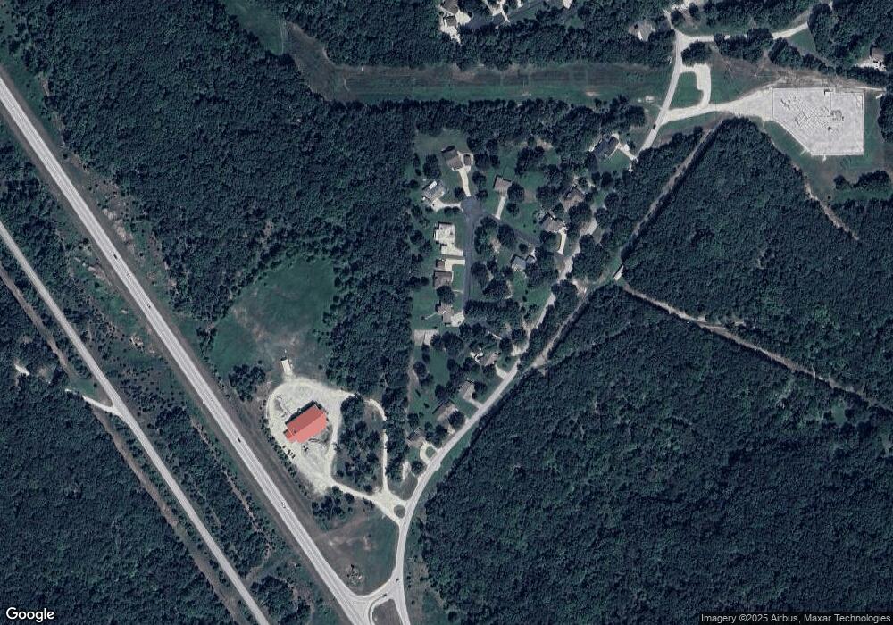
Map
Nearby Homes
- TBD Camelot Dr
- 24 Brookshire Ln
- 23 Brookshire Ln
- 4 Buckingham Dr Unit 4
- 82 Merlin Dr
- TBD Bear Paw Rd
- Lot 894
- 933 Round Table Dr
- TBD Buckingham Dr
- Lot 1287 Lakeshire Dr
- 70 Lots
- 190 Merlin Dr
- 362 Merlin Dr
- 33 Lots
- Lot 793
- 0 Round Table Dr
- 37 Lots
- 582/583 Manchester Ln
- 1771 Buckingham Dr Unit 1
- Lot 1019 Camelot Dr