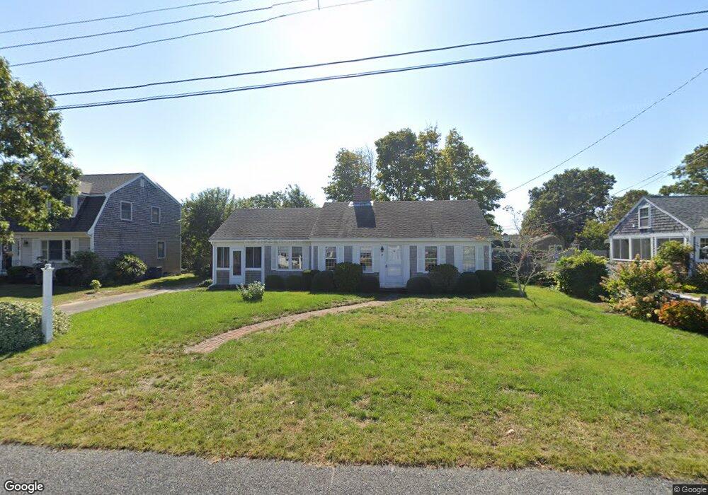
45 Kelleys Pond Rd West Dennis, MA 02670
West Dennis NeighborhoodEstimated Value: $500,000 - $906,000
3
Beds
2
Baths
1,030
Sq Ft
$690/Sq Ft
Est. Value
About This Home
This home is located at 45 Kelleys Pond Rd, West Dennis, MA 02670 and is currently estimated at $710,476, approximately $689 per square foot. 45 Kelleys Pond Rd is a home located in Barnstable County with nearby schools including Dennis-Yarmouth Regional High School and St. Pius X. School.
Ownership History
Date
Name
Owned For
Owner Type
Purchase Details
Closed on
Oct 20, 1992
Sold by
Connolly Thomas J and Connolly Patricia
Bought by
Chapman Maro H and Chapman Barbara A
Current Estimated Value
Home Financials for this Owner
Home Financials are based on the most recent Mortgage that was taken out on this home.
Original Mortgage
$30,000
Interest Rate
7.93%
Mortgage Type
Purchase Money Mortgage
Create a Home Valuation Report for This Property
The Home Valuation Report is an in-depth analysis detailing your home's value as well as a comparison with similar homes in the area
Home Values in the Area
Average Home Value in this Area
Purchase History
| Date | Buyer | Sale Price | Title Company |
|---|---|---|---|
| Chapman Maro H | $162,000 | -- |
Source: Public Records
Mortgage History
| Date | Status | Borrower | Loan Amount |
|---|---|---|---|
| Closed | Chapman Maro H | $30,000 |
Source: Public Records
Tax History Compared to Growth
Tax History
| Year | Tax Paid | Tax Assessment Tax Assessment Total Assessment is a certain percentage of the fair market value that is determined by local assessors to be the total taxable value of land and additions on the property. | Land | Improvement |
|---|---|---|---|---|
| 2025 | $2,508 | $579,300 | $274,400 | $304,900 |
| 2024 | $2,393 | $545,200 | $263,900 | $281,300 |
| 2023 | $2,314 | $495,600 | $239,900 | $255,700 |
| 2022 | $2,278 | $406,700 | $216,100 | $190,600 |
| 2021 | $2,227 | $369,400 | $211,900 | $157,500 |
| 2020 | $2,786 | $354,800 | $211,900 | $142,900 |
| 2019 | $2,131 | $345,400 | $207,700 | $137,700 |
| 2018 | $2,169 | $342,100 | $218,600 | $123,500 |
| 2017 | $1,952 | $317,400 | $197,800 | $119,600 |
| 2016 | $2,020 | $309,300 | $208,200 | $101,100 |
| 2015 | $1,880 | $293,700 | $192,600 | $101,100 |
| 2014 | $1,666 | $262,400 | $161,300 | $101,100 |
Source: Public Records
Map
Nearby Homes
- 2 Rita Mary Way
- 14 Schoolhouse Ln
- 178 School St
- 209 Main St Unit 3
- 209 Main St Unit 6
- 209 Main St Unit 1
- 209 Main St Unit 2
- 209 Main St Unit 4
- 209 Main St Unit 5
- 23 Doric Ave
- 401 Main St Unit 201
- 401 Main St Unit 101
- 308 Old Main St
- 45 Seth Ln
- 467 Main St
- 40 Kelley Rd
- 181 Pleasant St
- 29 Bass River Rd
- 18 Turner Ln
- 61 Trotters Ln
- 49 Kelleys Pond Rd
- 41 Kelley's Pond Rd
- 41 Kelleys Pond Rd
- 168 Loring Ave
- 43 North Rd
- 164 Loring Ave
- 172 Loring Ave
- 53 Kelleys Pond Rd
- 37 Kelleys Pond Rd
- 31 North Rd
- 176 Loring Ave
- 162 Loring Ave
- 31 North Rd
- 50 North Rd
- 33 Kelleys Pond Rd
- 171 Loring Ave
- 167 Loring Ave
- 57 Kelleys Pond Rd
- 46 North Rd
- 180 Loring Ave