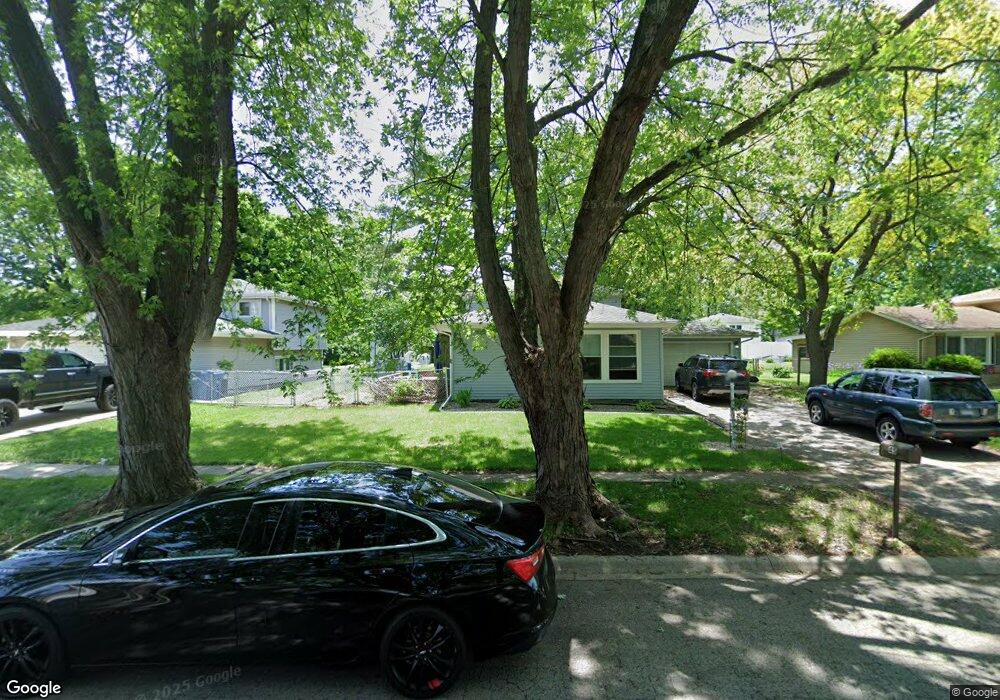
45 Kim Dr Bourbonnais, IL 60914
Estimated Value: $248,558 - $291,000
3
Beds
2
Baths
1,728
Sq Ft
$151/Sq Ft
Est. Value
About This Home
This home is located at 45 Kim Dr, Bourbonnais, IL 60914 and is currently estimated at $260,890, approximately $150 per square foot. 45 Kim Dr is a home located in Kankakee County with nearby schools including Noel Levasseur Elementary School, Liberty Intermediate School, and Bourbonnais Upper Grade Center.
Ownership History
Date
Name
Owned For
Owner Type
Purchase Details
Closed on
Mar 22, 2018
Sold by
Trust Number 2520
Bought by
Jamieson Michael
Current Estimated Value
Home Financials for this Owner
Home Financials are based on the most recent Mortgage that was taken out on this home.
Original Mortgage
$164,255
Outstanding Balance
$143,465
Interest Rate
5.5%
Mortgage Type
New Conventional
Estimated Equity
$117,425
Purchase Details
Closed on
Nov 28, 2017
Sold by
Springleaf Mortgage Loan Trust
Bought by
Municipal Trust
Purchase Details
Closed on
Aug 23, 2017
Sold by
Sheriff Of Kankakee County
Bought by
Springleaf Mortgage Loan Trust
Create a Home Valuation Report for This Property
The Home Valuation Report is an in-depth analysis detailing your home's value as well as a comparison with similar homes in the area
Home Values in the Area
Average Home Value in this Area
Purchase History
| Date | Buyer | Sale Price | Title Company |
|---|---|---|---|
| Jamieson Michael | $173,000 | Standard Title | |
| Municipal Trust | $99,226 | Chicago Title Ins | |
| Springleaf Mortgage Loan Trust | $155,363 | -- |
Source: Public Records
Mortgage History
| Date | Status | Borrower | Loan Amount |
|---|---|---|---|
| Open | Jamieson Michael | $164,255 | |
| Closed | Jamieson Michael | $6,000 |
Source: Public Records
Tax History
| Year | Tax Paid | Tax Assessment Tax Assessment Total Assessment is a certain percentage of the fair market value that is determined by local assessors to be the total taxable value of land and additions on the property. | Land | Improvement |
|---|---|---|---|---|
| 2024 | $5,674 | $74,510 | $6,562 | $67,948 |
| 2023 | $5,031 | $67,159 | $6,076 | $61,083 |
| 2022 | $4,794 | $61,927 | $5,856 | $56,071 |
| 2021 | $4,568 | $58,967 | $5,727 | $53,240 |
| 2020 | $4,431 | $56,373 | $5,574 | $50,799 |
| 2019 | $4,154 | $52,731 | $5,412 | $47,319 |
| 2018 | $4,126 | $50,775 | $5,332 | $45,443 |
| 2017 | $4,447 | $49,537 | $5,202 | $44,335 |
| 2016 | $3,330 | $48,180 | $5,125 | $43,055 |
| 2015 | $3,409 | $48,573 | $5,074 | $43,499 |
| 2014 | $3,273 | $48,573 | $5,074 | $43,499 |
| 2013 | -- | $48,134 | $5,074 | $43,060 |
Source: Public Records
Map
Nearby Homes
- 54 Bonds Dr
- 22 Emery Dr
- 1356 Eagle Bluff Dr
- 16 Kim Dr
- 9 Hilltop Dr
- 180 Karen Dr
- 42 Hanson Dr
- 59 Hanson Dr
- 172 Anita Dr
- 366 Centerpoint Dr S
- 847 Tremont St
- 214 Greenbriar Ln
- 206 Meadows Rd S
- 703 Heritage Dr
- 1063 Yale Ave
- 1565 Stefanie Ln
- 273 Harvard Ave
- 530 Meadows Rd S
- 1687 Jennifer Dr
- 261 Mohawk Dr
Your Personal Tour Guide
Ask me questions while you tour the home.