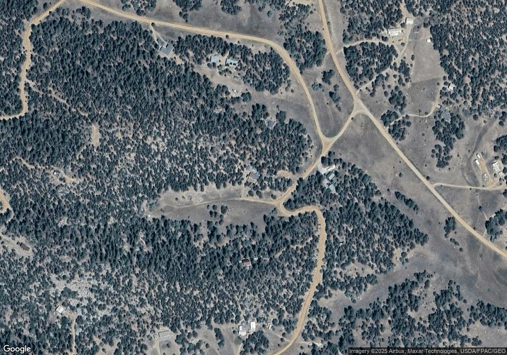
45 Knight Ln Unit 119 Cotopaxi, CO 81223
Estimated Value: $335,239 - $401,000
3
Beds
2
Baths
1,456
Sq Ft
$261/Sq Ft
Est. Value
About This Home
This home is located at 45 Knight Ln Unit 119, Cotopaxi, CO 81223 and is currently estimated at $379,310, approximately $260 per square foot. 45 Knight Ln Unit 119 is a home located in Fremont County with nearby schools including Cotopaxi Elementary School and Cotopaxi Junior/Senior High School.
Ownership History
Date
Name
Owned For
Owner Type
Purchase Details
Closed on
Jul 12, 2024
Sold by
Matteson Michael Searle and Matteson Laurabelle June
Bought by
Lee Howard Brett and Howard Stephanie V
Current Estimated Value
Purchase Details
Closed on
Sep 12, 2018
Sold by
Hastings Donald and Hastings Michelle
Bought by
Matteson Michael Searle and Matteson Laurabelle June
Home Financials for this Owner
Home Financials are based on the most recent Mortgage that was taken out on this home.
Original Mortgage
$184,907
Interest Rate
4.6%
Mortgage Type
VA
Create a Home Valuation Report for This Property
The Home Valuation Report is an in-depth analysis detailing your home's value as well as a comparison with similar homes in the area
Home Values in the Area
Average Home Value in this Area
Purchase History
| Date | Buyer | Sale Price | Title Company |
|---|---|---|---|
| Lee Howard Brett | $331,000 | Fidelity National Title | |
| Matteson Michael Searle | $179,000 | None Available |
Source: Public Records
Mortgage History
| Date | Status | Borrower | Loan Amount |
|---|---|---|---|
| Previous Owner | Matteson Michael Searle | $184,907 |
Source: Public Records
Tax History Compared to Growth
Tax History
| Year | Tax Paid | Tax Assessment Tax Assessment Total Assessment is a certain percentage of the fair market value that is determined by local assessors to be the total taxable value of land and additions on the property. | Land | Improvement |
|---|---|---|---|---|
| 2024 | $796 | $20,855 | $0 | $0 |
| 2023 | $796 | $16,265 | $0 | $0 |
| 2022 | $637 | $13,570 | $0 | $0 |
| 2021 | $641 | $13,961 | $0 | $0 |
| 2020 | $557 | $12,362 | $0 | $0 |
| 2019 | $557 | $12,362 | $0 | $0 |
| 2018 | $413 | $9,159 | $0 | $0 |
| 2017 | $414 | $9,159 | $0 | $0 |
| 2016 | $426 | $9,450 | $0 | $0 |
| 2015 | $425 | $9,450 | $0 | $0 |
| 2012 | $428 | $10,284 | $1,592 | $8,692 |
Source: Public Records
Map
Nearby Homes
- 134 Knight Ln
- 393 Canyon
- 288 Bear Ln
- 70 Arthur Ln
- 1314 Arnold Dr Unit 545
- 1314 Arnold Dr
- 0 Tbd Iron Mountain Wilderness Rd Unit 4146154
- 129 Cedar Ln
- 102 Kevin Dr Unit 488
- 102 Kevin Dr
- 176 Bel Air Way
- 110 Dead Log Ln
- 221 Cottonwood Dr
- 50 Cottonwood Dr
- 250 Cottonwood Dr
- 729 Cottonwood Dr
- 109 Cottonwood Dr
- 176 Arnold Dr
- 45 Knight Ln
- 88 Kirk Dr
- 46 Knight Ln
- 28 Knight Ln
- 91 Knight Ln Unit 118
- 91 Knight Ln
- 91 Knight Ln
- 91 Knight Ln Unit 113118
- TBD Keith Ln
- 136 Knight Ln
- 136 Knight Ln Unit 113
- 136 Knight Ln
- 533 Keith Ln
- 266 Kirk Dr
- 432 Keith Ln
- 1770 Indian Wells Rd
- 1292 Owens Ln Unit 117
- 1292 Owens Ln
- 1942 Indian Wells Rd
- 1949 Indian Wells Rd Unit 137
