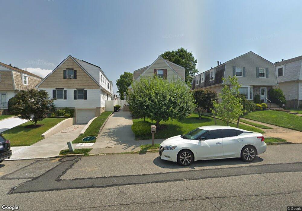
45 Lenevar Ave Unit 2 Family House Staten Island, NY 10309
Woodrow NeighborhoodEstimated Value: $844,950 - $1,083,000
5
Beds
3
Baths
1,980
Sq Ft
$491/Sq Ft
Est. Value
About This Home
This home is located at 45 Lenevar Ave Unit 2 Family House, Staten Island, NY 10309 and is currently estimated at $971,238, approximately $490 per square foot. 45 Lenevar Ave Unit 2 Family House is a home located in Richmond County with nearby schools including P.S. 56 - The Louis Desario School, Is 34 Tottenville, and Tottenville High School.
Ownership History
Date
Name
Owned For
Owner Type
Purchase Details
Closed on
May 31, 2023
Sold by
Stephan Family Irrevocable Trust
Bought by
Antonina Dimino Trust and Dimino
Current Estimated Value
Purchase Details
Closed on
Jun 5, 2018
Sold by
Stephan Bassam and Stephan Donna
Bought by
Stephan Adam and Stephan Amy
Purchase Details
Closed on
Jun 15, 2005
Sold by
Kevorkian Edward and Kevorkian Gloria
Bought by
Stephan Bassam and Stephan Donna
Create a Home Valuation Report for This Property
The Home Valuation Report is an in-depth analysis detailing your home's value as well as a comparison with similar homes in the area
Home Values in the Area
Average Home Value in this Area
Purchase History
| Date | Buyer | Sale Price | Title Company |
|---|---|---|---|
| Antonina Dimino Trust | $890,000 | Old Republic National Title In | |
| Stephan Adam | -- | None Available | |
| Stephan Bassam | -- | Chicago Title Insurance Co |
Source: Public Records
Tax History Compared to Growth
Tax History
| Year | Tax Paid | Tax Assessment Tax Assessment Total Assessment is a certain percentage of the fair market value that is determined by local assessors to be the total taxable value of land and additions on the property. | Land | Improvement |
|---|---|---|---|---|
| 2025 | $8,017 | $52,080 | $10,286 | $41,794 |
| 2024 | $8,017 | $42,540 | $11,879 | $30,661 |
| 2023 | $8,107 | $39,917 | $10,051 | $29,866 |
| 2022 | $7,909 | $45,540 | $12,660 | $32,880 |
| 2021 | $7,865 | $38,220 | $12,660 | $25,560 |
| 2020 | $7,463 | $42,240 | $12,660 | $29,580 |
| 2019 | $6,959 | $40,560 | $12,660 | $27,900 |
| 2018 | $6,781 | $33,264 | $10,306 | $22,958 |
| 2017 | $6,730 | $33,013 | $11,039 | $21,974 |
| 2016 | $6,226 | $31,145 | $10,720 | $20,425 |
| 2015 | $5,320 | $29,383 | $9,335 | $20,048 |
| 2014 | $5,320 | $27,720 | $10,560 | $17,160 |
Source: Public Records
Map
Nearby Homes
- 142 Wieland Ave
- 108 Wieland Ave
- 106 Wieland Ave
- 104 Wieland Ave
- 265 Ramapo Ave
- 0 Woodrow Rd
- 1272 Woodrow Rd
- 973 Sheldon Ave
- 880 Sinclair Ave
- 980 Rensselaer Ave
- 960 Rensselaer Ave
- 1030 Rensselaer Ave
- 1046 Rensselaer Ave
- 1090 Sheldon Ave
- 1054 Rensselaer Ave
- 839 Sinclair Ave
- 559 Alverson Ave
- 41 Brookside Loop
- 1015 Rathbun Ave
- 24 Brookside Loop
- 45 Lenevar Ave
- 49 Lenevar Ave
- 41 Lenevar Ave
- 152 Wieland Ave
- 205 Ramapo Ave
- 199 Ramapo Ave
- 146 Wieland Ave
- 195 Ramapo Ave
- 172 Wieland Ave
- 233 Ramapo Ave
- 191 Ramapo Ave
- 138 Wieland Ave
- 206 Ramapo Ave
- 176 Wieland Ave
- 237 Ramapo Ave
- 204 Ramapo Ave
- 200 Ramapo Ave
- 183 Ramapo Ave
- 126 Wieland Ave
- 180 Wieland Ave