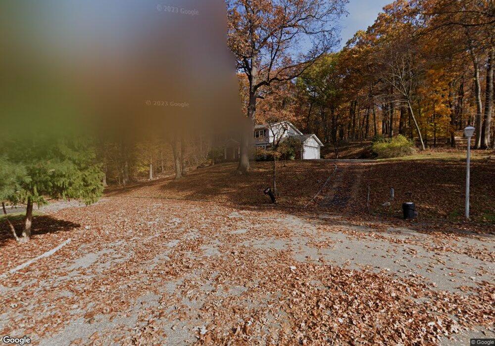
45 Manor Ln Morris Plains, NJ 07950
Estimated Value: $900,380 - $993,000
--
Bed
--
Bath
3,085
Sq Ft
$307/Sq Ft
Est. Value
About This Home
This home is located at 45 Manor Ln, Morris Plains, NJ 07950 and is currently estimated at $948,595, approximately $307 per square foot. 45 Manor Ln is a home located in Morris County with nearby schools including Mount Tabor School, Brooklawn Middle School, and Parsippany Hills High School.
Ownership History
Date
Name
Owned For
Owner Type
Purchase Details
Closed on
Feb 12, 2003
Sold by
Fleming Dorothy
Bought by
Pape Robert and Pape Anne
Current Estimated Value
Home Financials for this Owner
Home Financials are based on the most recent Mortgage that was taken out on this home.
Original Mortgage
$285,000
Outstanding Balance
$122,325
Interest Rate
5.98%
Estimated Equity
$826,270
Create a Home Valuation Report for This Property
The Home Valuation Report is an in-depth analysis detailing your home's value as well as a comparison with similar homes in the area
Home Values in the Area
Average Home Value in this Area
Purchase History
| Date | Buyer | Sale Price | Title Company |
|---|---|---|---|
| Pape Robert | $490,000 | -- |
Source: Public Records
Mortgage History
| Date | Status | Borrower | Loan Amount |
|---|---|---|---|
| Open | Pape Robert | $285,000 |
Source: Public Records
Tax History Compared to Growth
Tax History
| Year | Tax Paid | Tax Assessment Tax Assessment Total Assessment is a certain percentage of the fair market value that is determined by local assessors to be the total taxable value of land and additions on the property. | Land | Improvement |
|---|---|---|---|---|
| 2025 | $16,630 | $478,700 | $214,100 | $264,600 |
| 2024 | $16,314 | $478,700 | $214,100 | $264,600 |
| 2023 | $16,314 | $478,700 | $214,100 | $264,600 |
| 2022 | $15,180 | $478,700 | $214,100 | $264,600 |
| 2021 | $15,180 | $478,700 | $214,100 | $264,600 |
| 2020 | $14,763 | $478,700 | $214,100 | $264,600 |
| 2019 | $14,366 | $478,700 | $214,100 | $264,600 |
| 2018 | $13,959 | $478,700 | $214,100 | $264,600 |
| 2017 | $13,643 | $478,700 | $214,100 | $264,600 |
| 2016 | $13,408 | $478,700 | $214,100 | $264,600 |
| 2015 | $13,069 | $478,700 | $214,100 | $264,600 |
| 2014 | $12,877 | $478,700 | $214,100 | $264,600 |
Source: Public Records
Map
Nearby Homes
- 62 Brookstone Cir
- 62 Fernview Rd
- 11 Whitewood Dr
- 2 Castaby Way
- 42 Flintlock Rd
- 21 Holly Dr
- 711 Park Rd
- 2350 State Route 10 Unit D11
- 1466 Tabor Rd
- 78 North Place
- 26 Wesley Place
- 1 Ironwood Dr
- 2467 State Route 10 Unit 12-7A
- 2467 State Route 10 Unit 24-6B
- 2467 State Route 10 Unit 3B
- 2467 State Route 10 Unit 7A
- 2467 State Route 10 Unit 8
- 2467 State Route 10 Unit 22-6B
- 2467 State Route 10 Unit 8A
- 2467 State Route 10 Unit 6-B
- 43 Manor Ln
- 2 Pigeon Hill Rd
- 4 Cambridge Rd
- 1 Pigeon Hill Rd
- 40 Manor Ln
- 4 Pigeon Hill Rd
- 1 Cambridge Rd
- 3 Pigeon Hill Rd
- 3 Cambridge Rd
- 28 Skyview Terrace
- 5 Cambridge Rd
- 8 Cambridge Rd
- 6 Pigeon Hill Rd
- 5 Pigeon Hill Rd
- 36 Manor Ln
- 15 Cambridge Rd
- 26 Skyview Terrace
- 2 Millstone Dr
- 4 Millstone Dr
- 27 Skyview Terrace