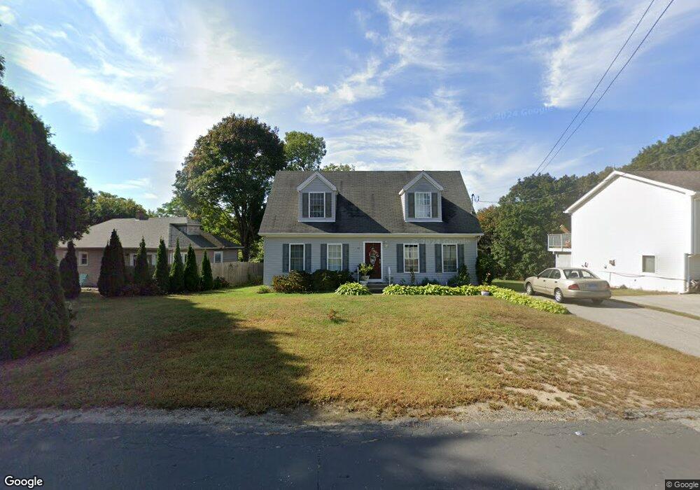
45 Maple Avenue Extension Uncasville, CT 06382
Oxoboxo River NeighborhoodEstimated Value: $371,024 - $403,000
4
Beds
3
Baths
1,474
Sq Ft
$265/Sq Ft
Est. Value
About This Home
This home is located at 45 Maple Avenue Extension, Uncasville, CT 06382 and is currently estimated at $390,006, approximately $264 per square foot. 45 Maple Avenue Extension is a home located in New London County with nearby schools including Leonard J. Tyl Middle School, Montville High School, and Bradley School-New London Regional.
Ownership History
Date
Name
Owned For
Owner Type
Purchase Details
Closed on
Jul 19, 2006
Sold by
All American Modular L
Bought by
Zayas Maria
Current Estimated Value
Home Financials for this Owner
Home Financials are based on the most recent Mortgage that was taken out on this home.
Original Mortgage
$222,400
Outstanding Balance
$139,867
Interest Rate
7.75%
Mortgage Type
Purchase Money Mortgage
Estimated Equity
$250,139
Create a Home Valuation Report for This Property
The Home Valuation Report is an in-depth analysis detailing your home's value as well as a comparison with similar homes in the area
Home Values in the Area
Average Home Value in this Area
Purchase History
| Date | Buyer | Sale Price | Title Company |
|---|---|---|---|
| Zayas Maria | $278,000 | -- | |
| Zayas Maria | $278,000 | -- |
Source: Public Records
Mortgage History
| Date | Status | Borrower | Loan Amount |
|---|---|---|---|
| Open | Zayas Maria | $222,400 | |
| Closed | Zayas Maria | $55,600 | |
| Closed | Zayas Maria | $222,400 | |
| Previous Owner | Zayas Maria | $180,000 |
Source: Public Records
Tax History Compared to Growth
Tax History
| Year | Tax Paid | Tax Assessment Tax Assessment Total Assessment is a certain percentage of the fair market value that is determined by local assessors to be the total taxable value of land and additions on the property. | Land | Improvement |
|---|---|---|---|---|
| 2025 | $5,596 | $193,830 | $30,870 | $162,960 |
| 2024 | $5,383 | $193,830 | $30,870 | $162,960 |
| 2023 | $5,383 | $193,830 | $30,870 | $162,960 |
| 2022 | $5,177 | $193,830 | $30,870 | $162,960 |
| 2021 | $4,859 | $153,050 | $30,550 | $122,500 |
| 2020 | $4,956 | $153,050 | $30,550 | $122,500 |
| 2019 | $4,976 | $153,050 | $30,550 | $122,500 |
| 2018 | $4,856 | $153,050 | $30,560 | $122,490 |
| 2017 | $4,852 | $153,050 | $30,560 | $122,490 |
| 2016 | $4,872 | $159,170 | $38,240 | $120,930 |
| 2015 | $4,872 | $159,170 | $38,240 | $120,930 |
| 2014 | $4,675 | $159,170 | $38,240 | $120,930 |
Source: Public Records
Map
Nearby Homes
- 13 Dock Rd
- 245 Norwich New London Turnpike Unit 22
- 197 Norwich-New London Turnpike
- 9 West Dr
- 60 Hammel Ln
- 31 Looking Glass Cir
- 57 Roselund Hill Rd
- 19 Wyndwood Rd
- 10 Crestview Dr
- 127 Massapeag Rd
- 2 Mountain Laurel Ridge
- 5 Mountain Laurel Ridge
- 0 Monahan Dr
- 170 Raymond Hill Rd
- 230 Gay Hill Rd
- 31 Richard Rd
- 331 Route 163
- 270 Gay Hill Rd
- 18 Richard Rd
- 2 Robinhood Dr
- 17 Lathrop Rd
- 43 Maple Avenue Extension
- 25 Lathrop Rd
- 11 Lathrop Rd
- 37 Maple Avenue Extension
- 40 Maple Avenue Extension
- 37 Maple Avenue Extension
- 00 Dock Rd
- 20 Lathrop Rd
- 8 Lathrop Rd
- 4 Lathrop Rd
- 8 Dock Rd
- 26 Lathrop Rd
- 57 Depot Rd
- 42 Depot Rd
- 5 Pink Row
- 30 Lathrop Rd
- 33 Depot Rd Unit 37
- 36 Depot Rd
- 31 Lathrop Rd Unit B